© Turizem Bohinj - Mojca Odar

© Turizem Bohinj - Mitja Sodja

© Turizem Bohinj - Mitja Sodja

© Turizem Bohinj - Mitja Sodja

© Turizem Bohinj - Peter Strgar

© Turizem Bohinj - Mitja Sodja

© Turizem Bohinj - Mitja Sodja

© Turizem Bohinj - Mitja Sodja

© Turizem Bohinj - Mitja Sodja


- Krótki opis
-
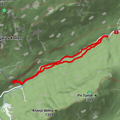
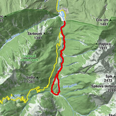
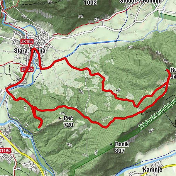
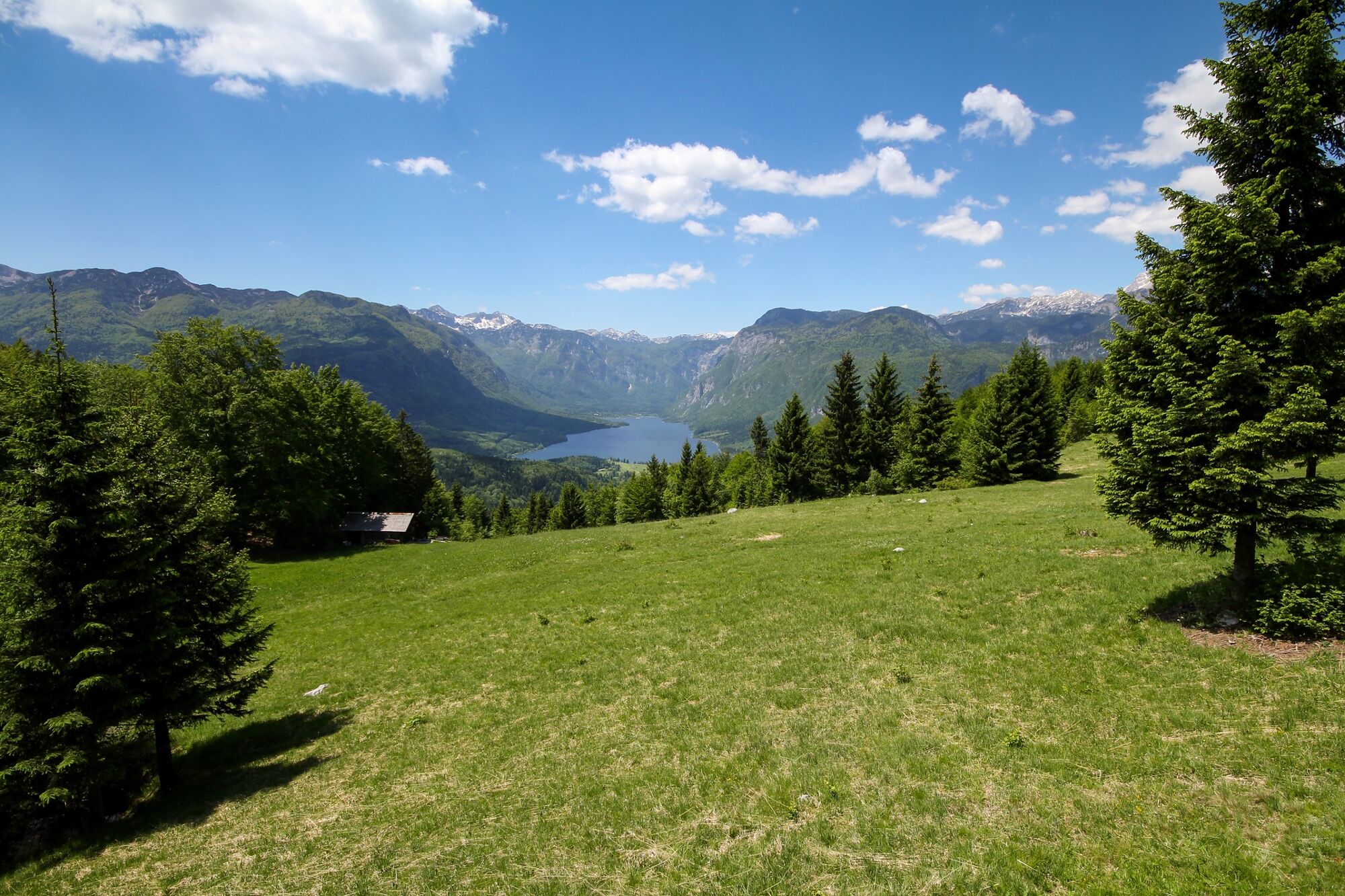
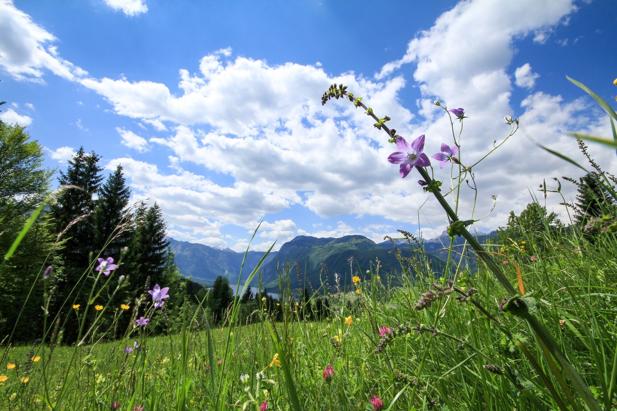
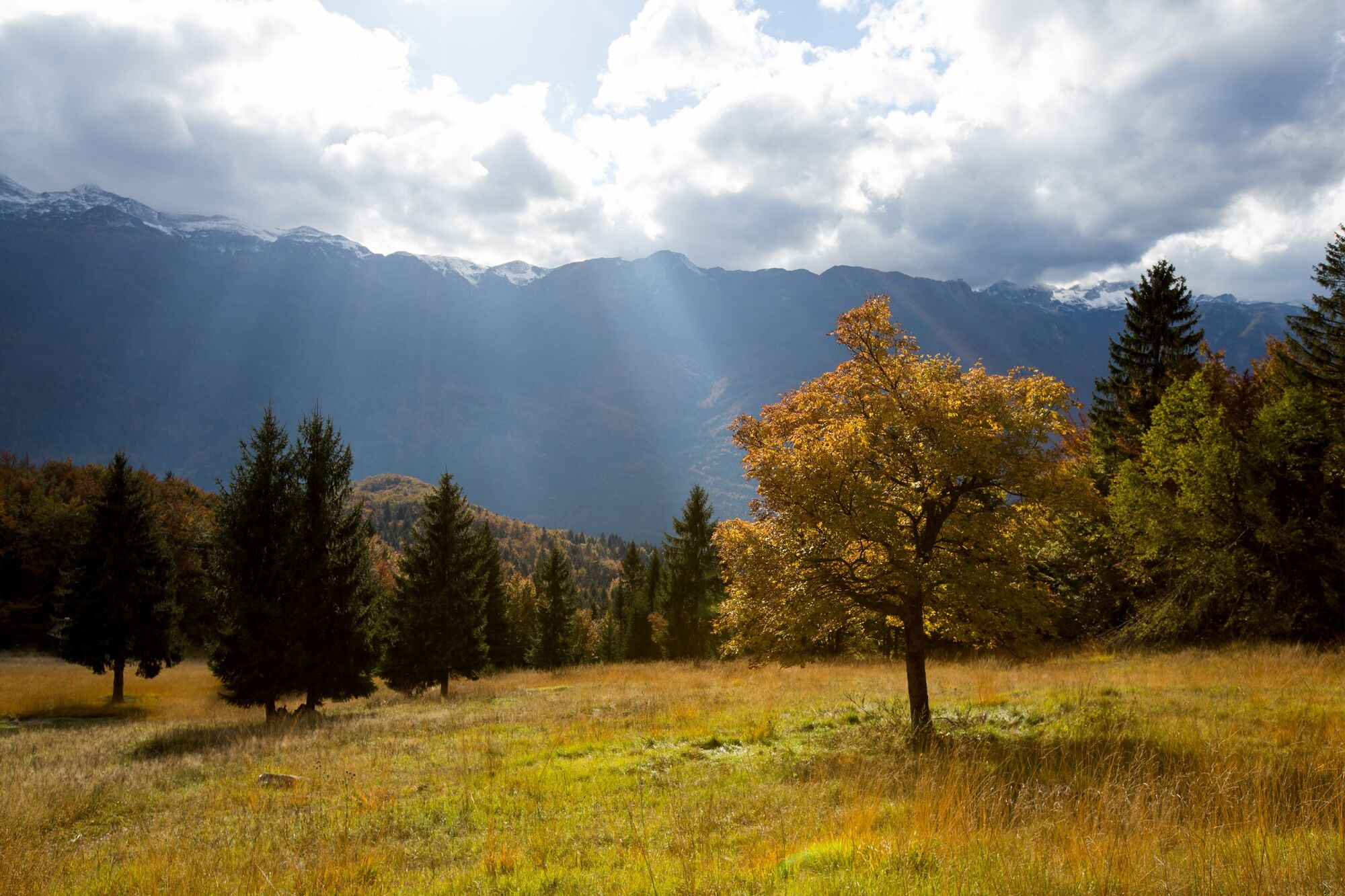
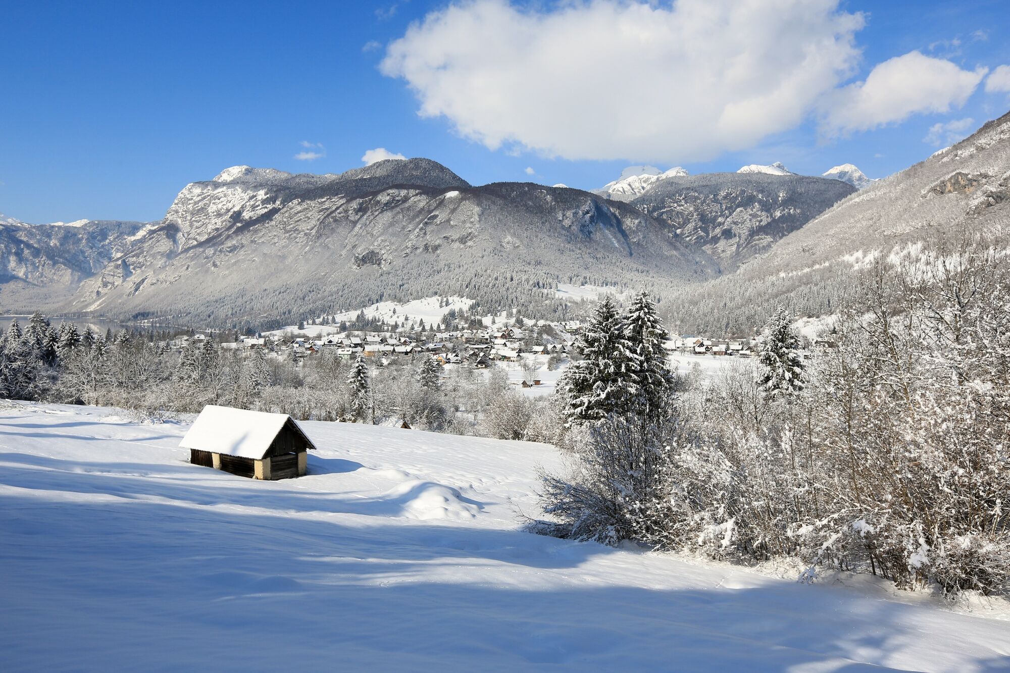
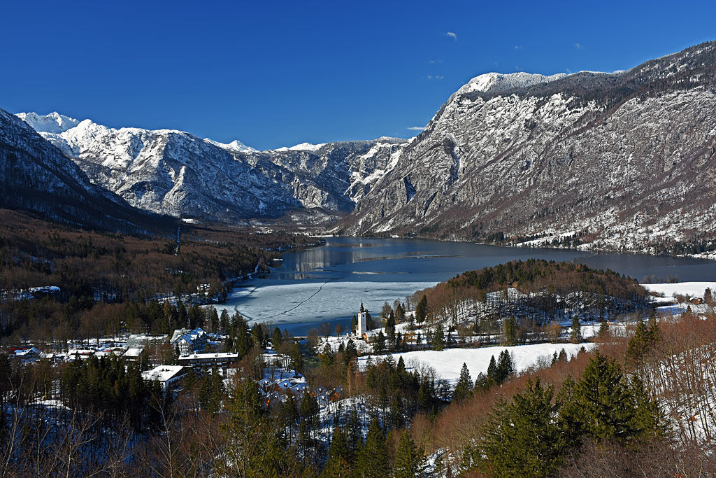
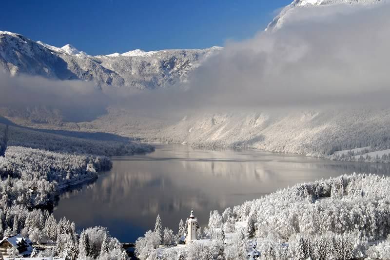
Many points along the circular trail to the top of Rudnica offer views of almost all corners of Bohinj and the surrounding mountains. Rudnica separates Bohinj in the Lower and Upper Bohinj Valleys.
- Stopień trudności
-
średni
- Ocena
-
- Trasa
-
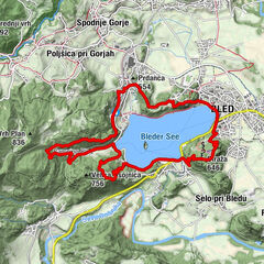
AlthammerRudnica (946 m)4,8 kmGostilna Mihovc7,9 kmAlthammer8,1 km
- Najlepszy sezon
-
stylutmarkwimajczelipsiewrzpaźlisgru
- Najwyższy punkt
- 939 m
- Miejsce docelowe
-
Rudnica
- Profil wysokości
-
 © outdooractive.com


- Autor
-
Wycieczka Peč and Rudnica from Stara Fužina jest używany przez outdooractive.com pod warunkiem.
GPS Downloads


Informacje ogólne
Kulturalny/Historyczny
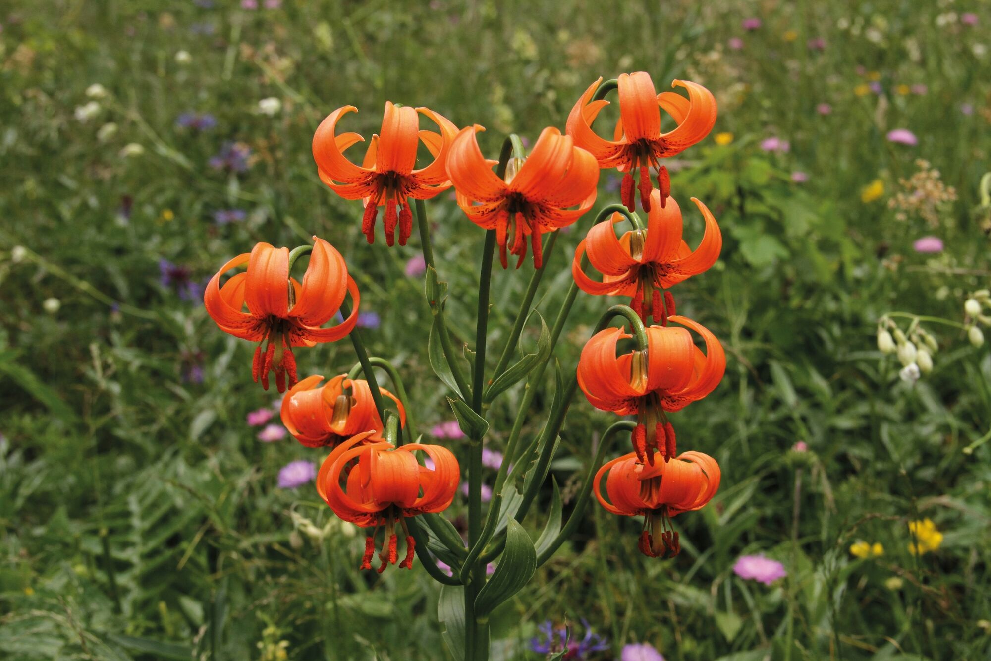
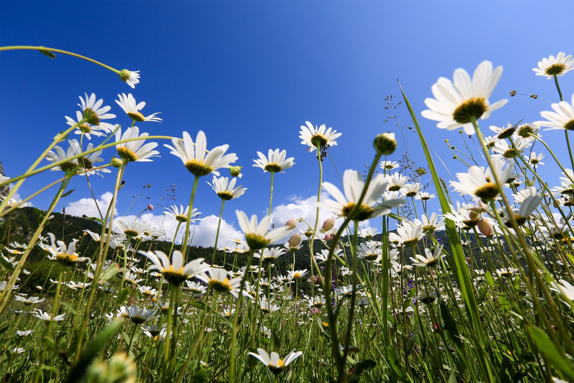
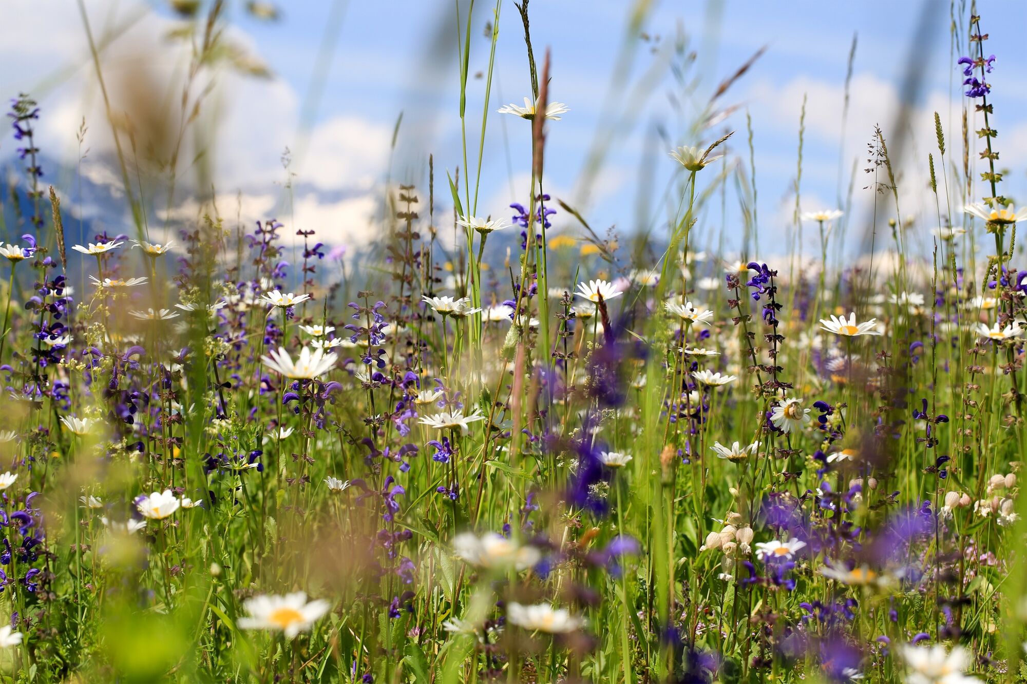
Flora
Obiecujący
Więcej wycieczek w regionach
-
Bohinj
118