


- Krótki opis
-
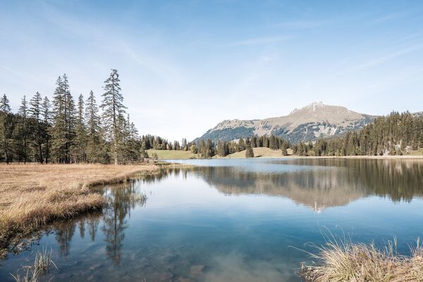
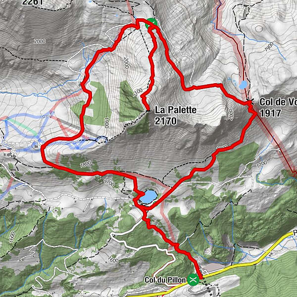
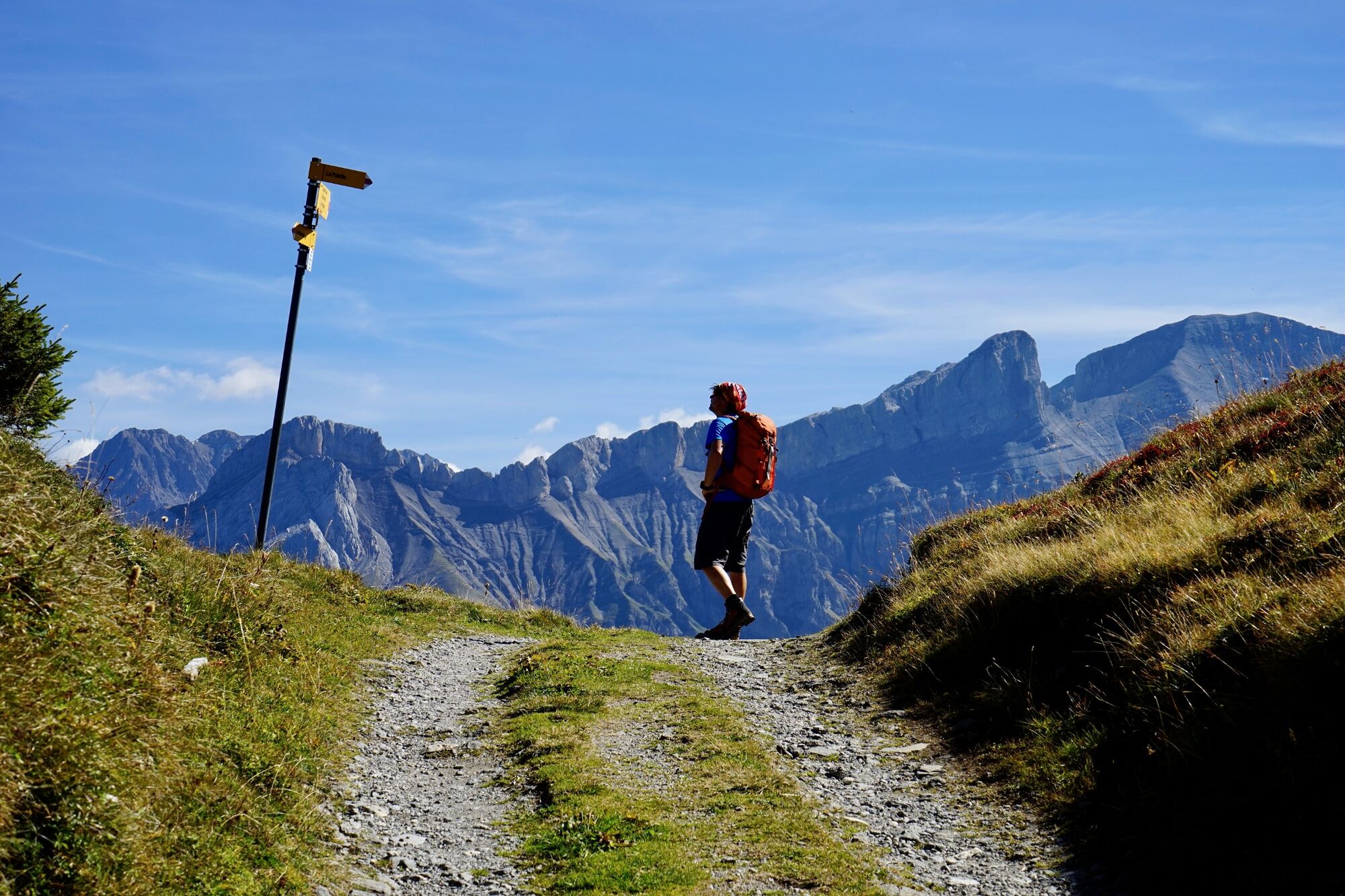
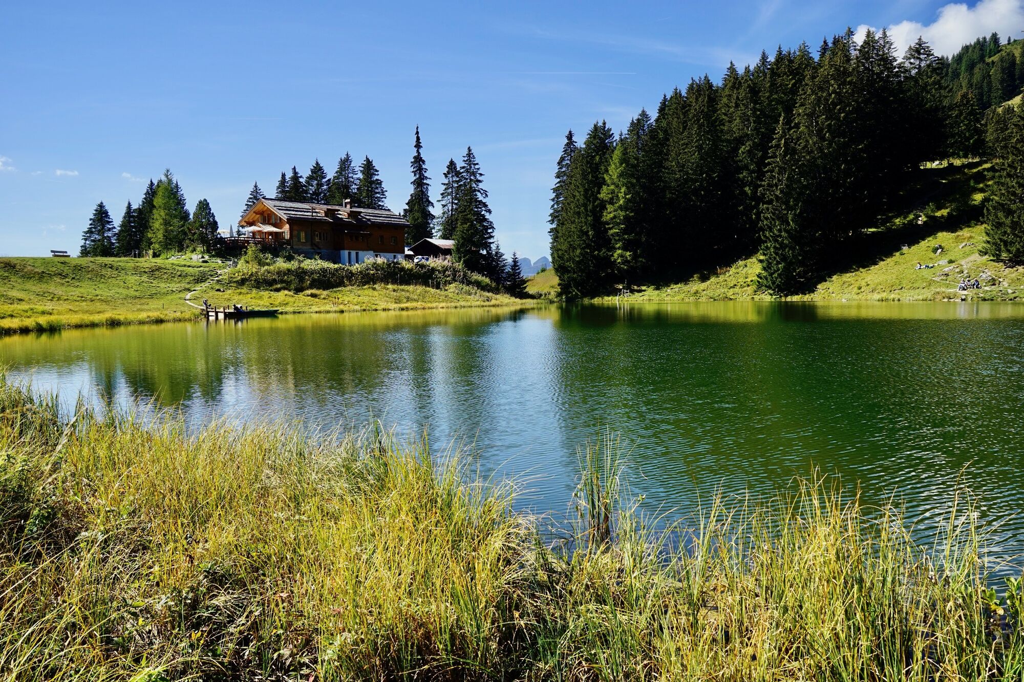
Eine originelle Rundwanderung führt vom Col du Pillon zum Lac Retaud mit dem Bergrestaurant, via Col des Andérets auf den Gipfel La Palette und auf der anderen Seite über den Col de Voré zurück zum Lac Retaud und zum Col du Pillon.
- Stopień trudności
-
średni
- Ocena
-
- Trasa
-
Restaurant du Col du Pillon0,0 kmRestaurant du Lac Retaud1,0 kmLa Palette (2.170 m)5,2 kmChalet Vieux7,1 kmCol de Voré (1.917 m)7,4 kmRestaurant du Lac Retaud9,1 kmRestaurant du Col du Pillon10,0 km
- Najlepszy sezon
-
stylutmarkwimajczelipsiewrzpaźlisgru
- Najwyższy punkt
- 2.153 m
- Miejsce docelowe
-
Col du Pillon
- Profil wysokości
-
 © outdooractive.com

-

-
AutorWycieczka Ein Gipfel im östlichen Waadtland jest używany przez outdooractive.com pod warunkiem.
GPS Downloads


Informacje ogólne
Przystanek odświeżania
Obiecujący
Więcej wycieczek w regionach
-
Alpes Vaudoises
992
-
Pays-d’Enhaut Région
510
-
Ormont-Dessus
150