


- Krótki opis
-
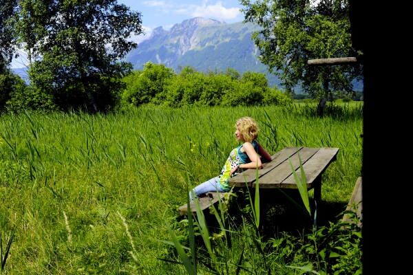
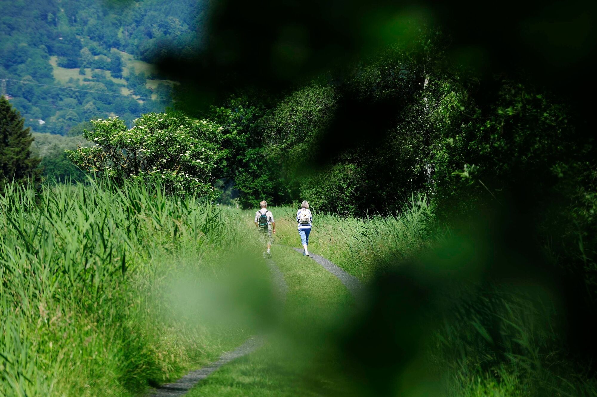
The Liechtenstein Panorama Trail (signpost 66) is a classic hike in Liechtenstein. As part of a 3 to 4 day route, it combines the experience of magnificent flower-filled mountain ridges, mountain huts, and summits with panoramic views from Rätikon to Lake Constance.
- Stopień trudności
-
ciężkie
- Ocena
-
- Trasa
-
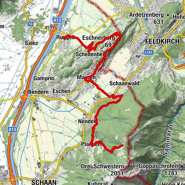
Planken (786 m)2,9 kmNendeln4,4 kmRistorante Pizzeria Sapori8,1 kmGasthaus zum Hirschen10,2 kmMauren (453 m)10,4 kmGasthaus Weinlaube12,5 kmHinterer Gantenstein (695 m)13,4 kmEschnerberg (697 m)13,7 kmFeldkirch13,8 kmWirtschaft zum Löwen14,6 kmHinterschellenberg14,7 kmSankt Georg14,9 kmSchellenberg (626 m)16,5 kmRuggell (433 m)19,2 km
- Najlepszy sezon
-
stylutmarkwimajczelipsiewrzpaźlisgru
- Najwyższy punkt
- 1.412 m
- Miejsce docelowe
-
Ruggell
- Profil wysokości
-
 © outdooractive.com


- Autor
-
Wycieczka Liechtenstein Panorama Trail: Stage 3 jest używany przez outdooractive.com pod warunkiem.
GPS Downloads


Informacje ogólne
Przystanek odświeżania
Obiecujący
Więcej wycieczek w regionach
-
Appenzellerland
1960
-
Liechtenstein
1287
-
Mauren-Schaanwald
284


