© Liechtenstein Marketing - Nicole Thöny

© Liechtenstein Marketing - Nicole Thöny

© Liechtenstein Marketing - Nicole Thöny

© Liechtenstein Marketing - Nicole Thöny
- Krótki opis
-
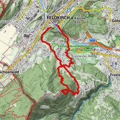
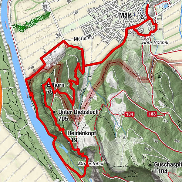
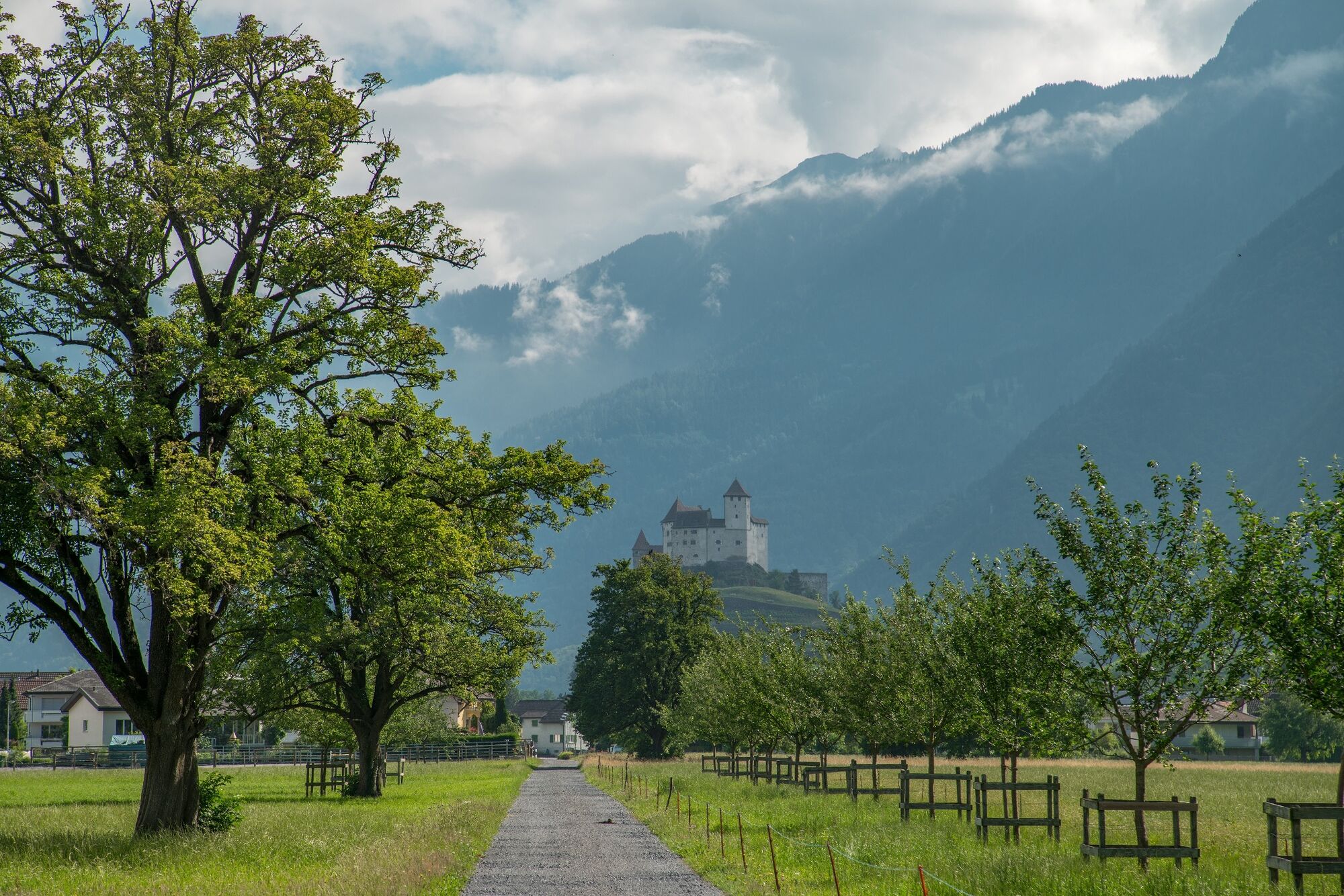
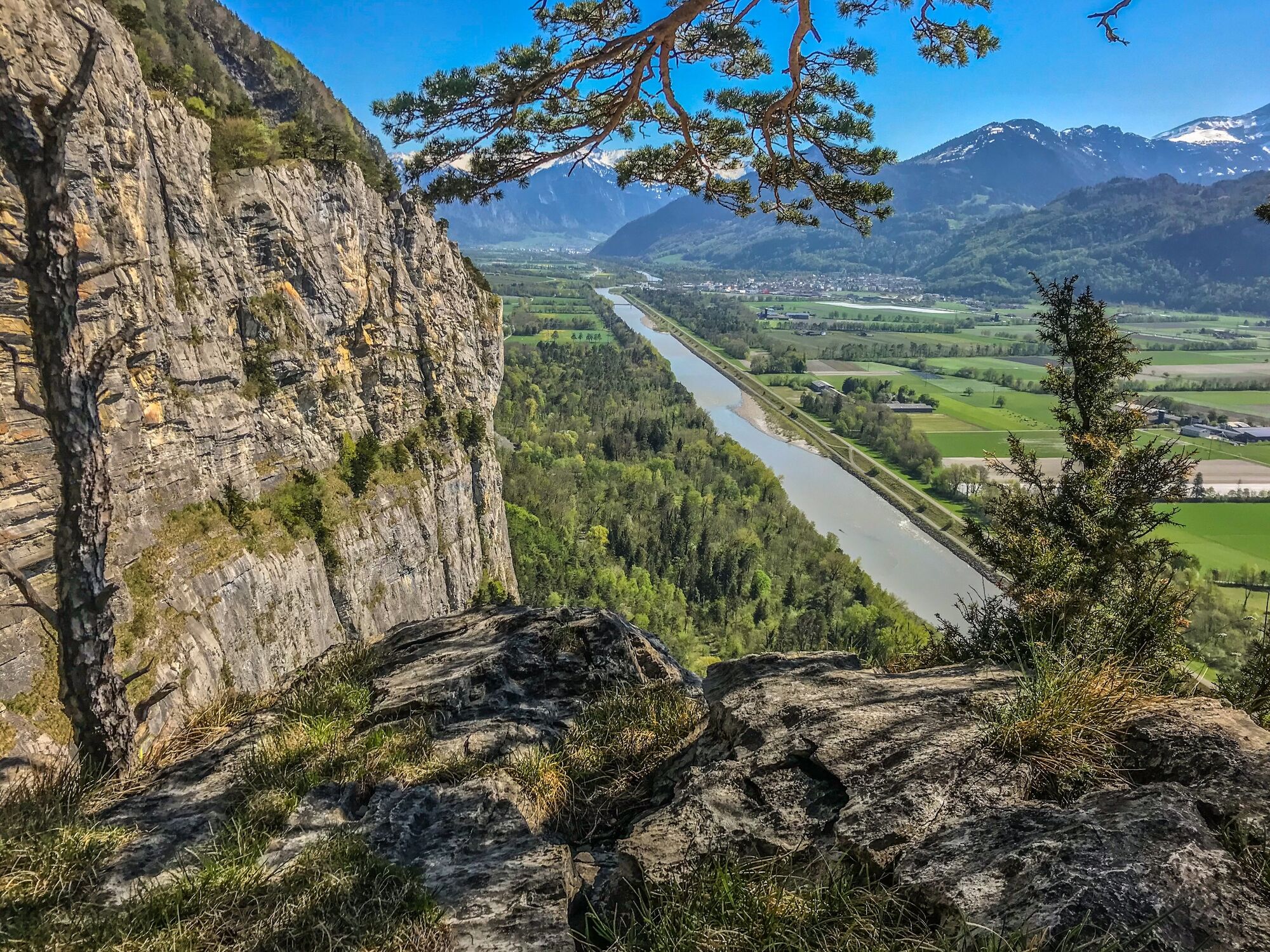
Die abwechslungsreiche Ellhorn Rundwanderung bietet überraschende Ausblicke zu den Dörfern beidseits des Rheins und zu den umliegenden Bergen. Die Blumenwiesen im Elltal sind ebenso reizvoll wie der Bergweg hoch über dem Rhein.
- Stopień trudności
-
łatwe
- Ocena
-
- Trasa
-
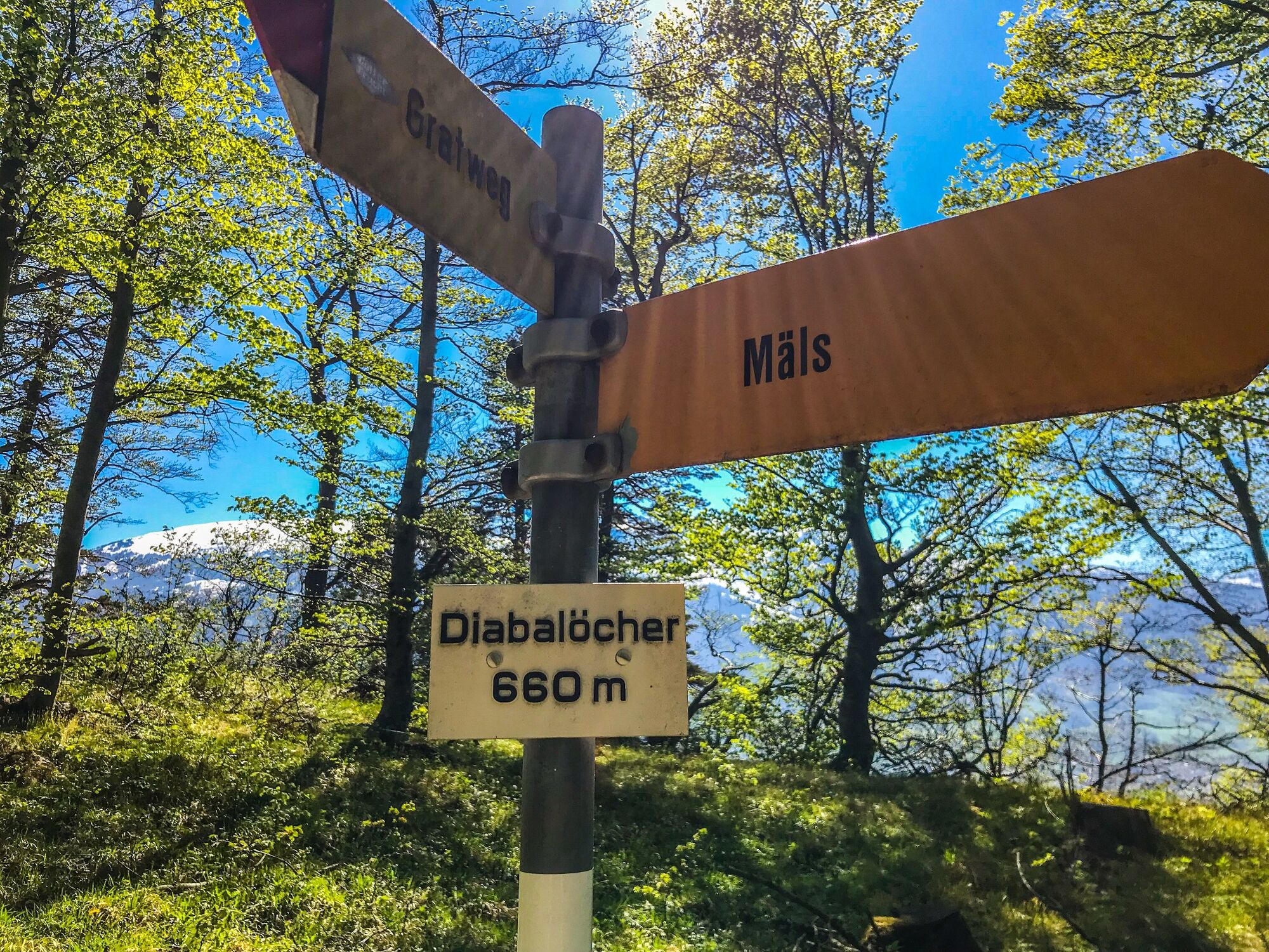
Mäls0,6 kmHeidenkopf (719 m)5,9 kmDiebalöcher5,9 kmUnter Diebsloch (705 m)6,3 kmEllhorn (758 m)6,7 kmMäls9,5 kmSpielplatz Rietle10,6 kmKapelle St. Peter11,0 km
- Najlepszy sezon
-
stylutmarkwimajczelipsiewrzpaźlisgru
- Najwyższy punkt
- 737 m
- Miejsce docelowe
-
Mälsner Dorf
- Profil wysokości
-
 © outdooractive.com

-

-
AutorWycieczka Rund ums Ellhorn jest używany przez outdooractive.com pod warunkiem.
GPS Downloads


Informacje ogólne
Obiecujący
Więcej wycieczek w regionach
-
Heidiland
2201
-
Bad Ragaz, Pizol und Umgebung
1006
-
Wartau
279