© Terra Dinarica - planinarenje .ba
© Terra Dinarica - planinarenje .ba
© Terra Dinarica - planinarenje .ba
© Terra Dinarica - planinarenje .ba

© Terra Dinarica - planinarenje .ba

- Krótki opis
-
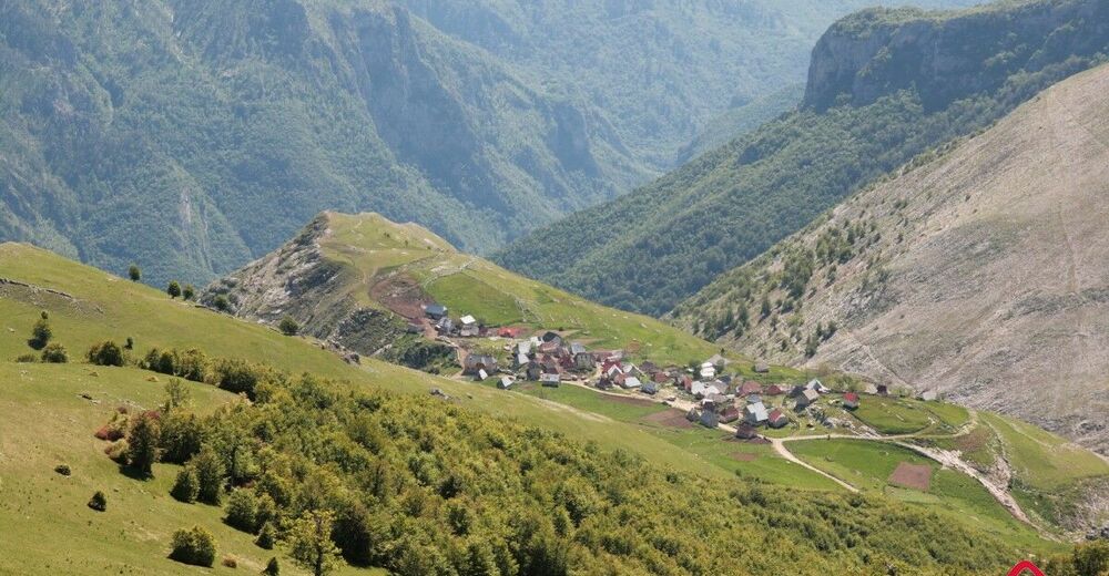
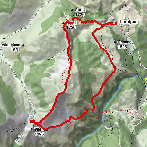
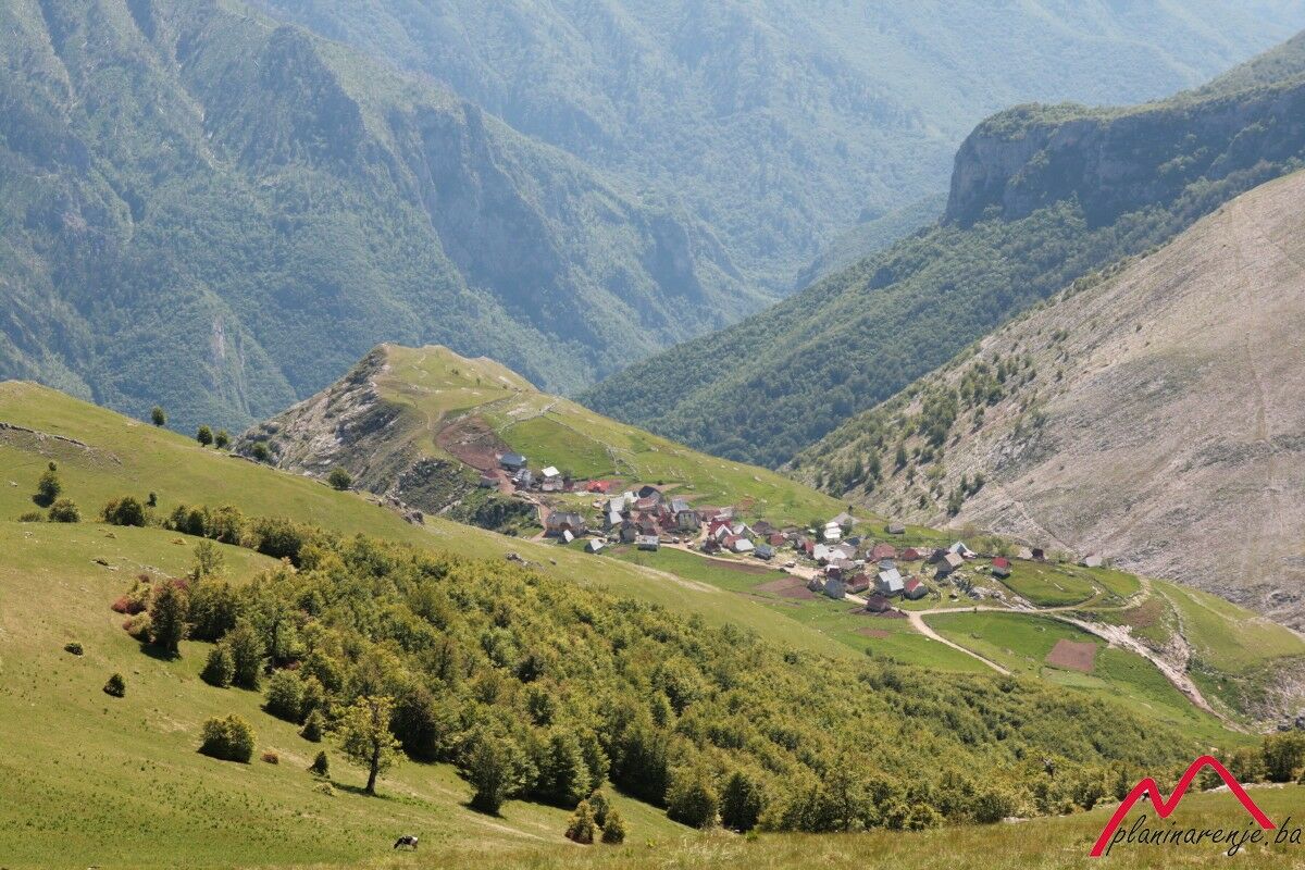
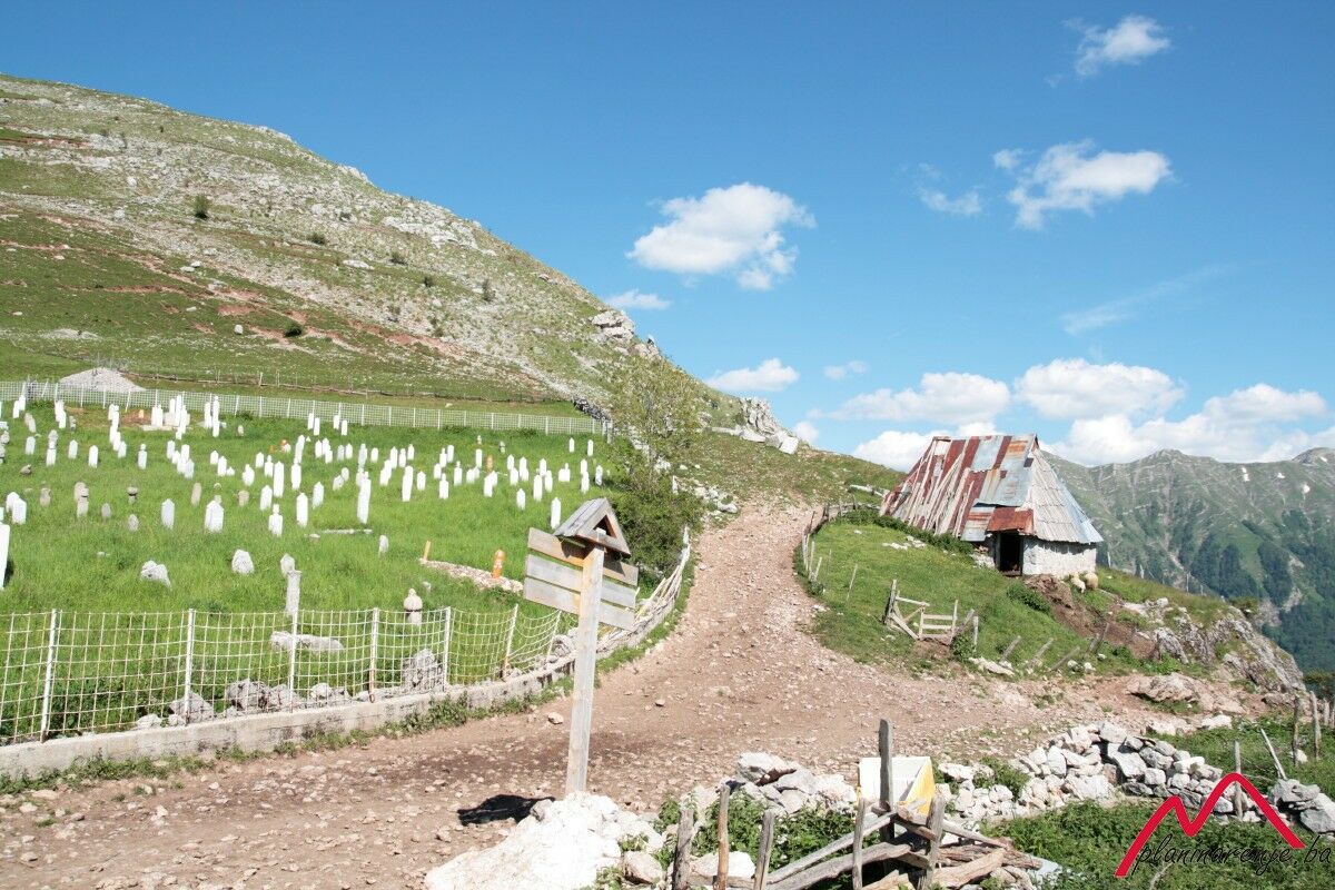
The walk requires an intermediate fitness level. It leads to the village of Lukomir, the highest altitude settlement in Bosnia and Herzegovina, via Obalj. Return on the road above the canyon of the river Rakitnica.
- Trasa
-
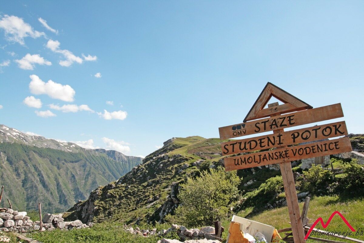
UmoljaniKoliba UmoljaniSaruk (1.726 m)2,4 kmObalj (1.896 m)5,3 kmPeruce Spring9,0 kmKoliba Umoljani15,1 kmUmoljani15,1 km
- Najwyższy punkt
- 1.865 m
- Profil wysokości
-
 © outdooractive.com
-

-
AutorWycieczka Umoljani-Lukomir jest używany przez outdooractive.com pod warunkiem.