© Terra Dinarica - Alan Čaplar
© Terra Dinarica - Alan Čaplar
© Terra Dinarica - Alan Čaplar
© Terra Dinarica - Alan Čaplar
© Terra Dinarica - Alan Čaplar
© Terra Dinarica - Alan Čaplar
© Terra Dinarica - Alan Čaplar

- Krótki opis
-
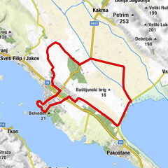
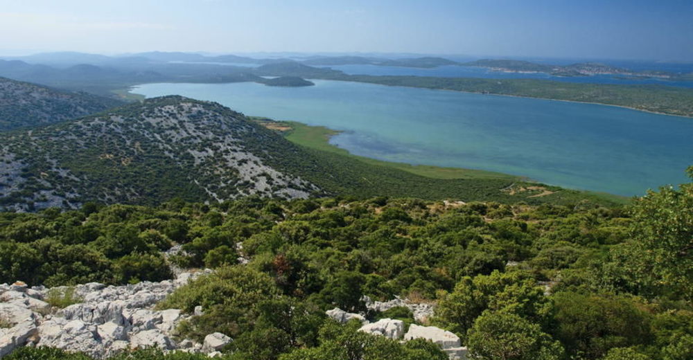
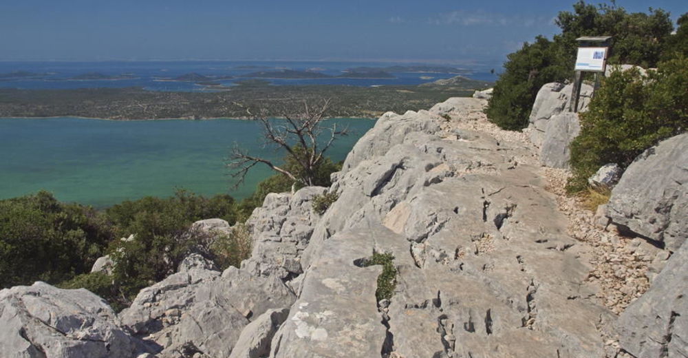
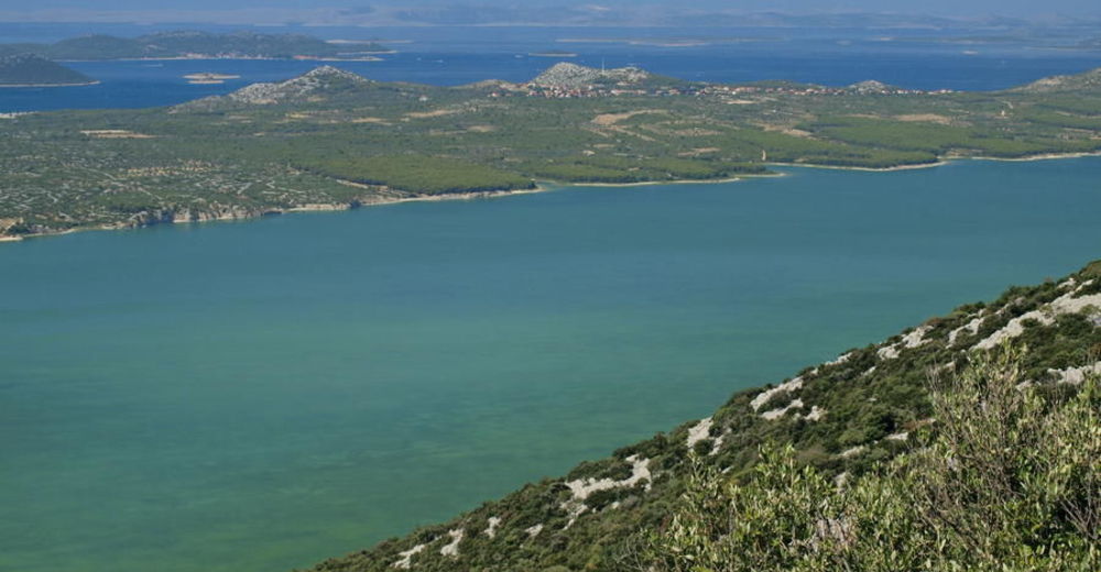
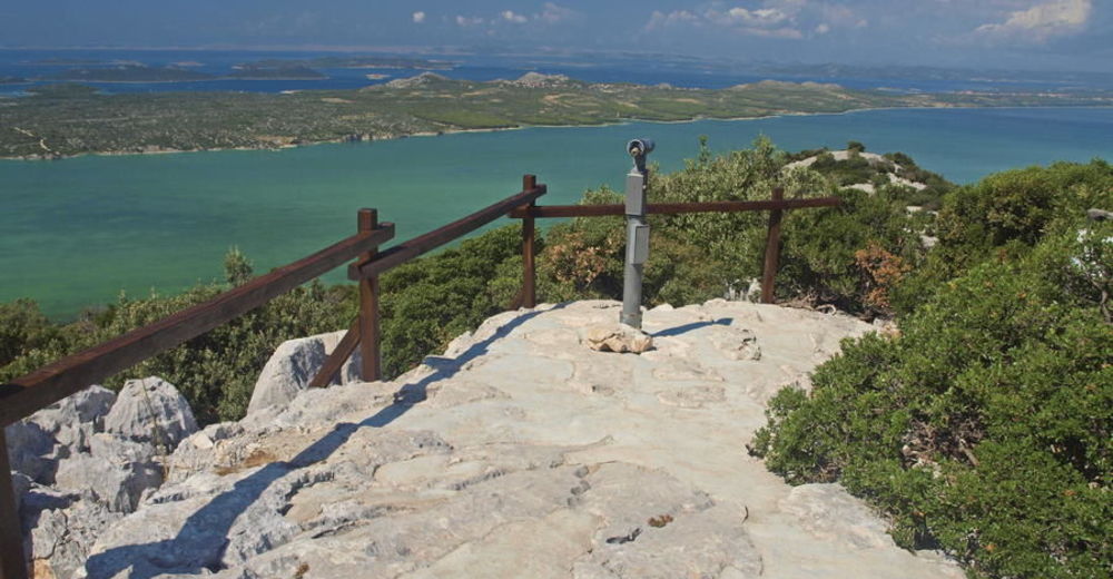
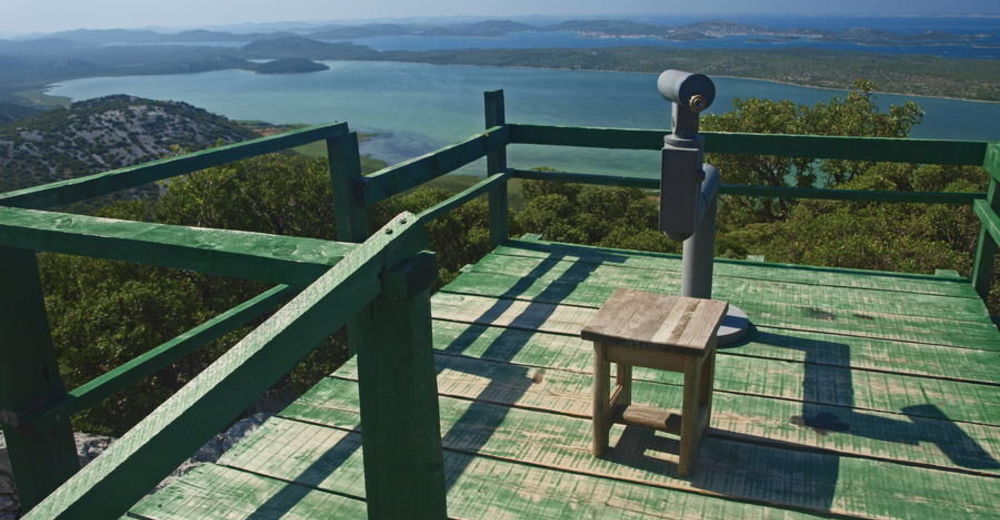
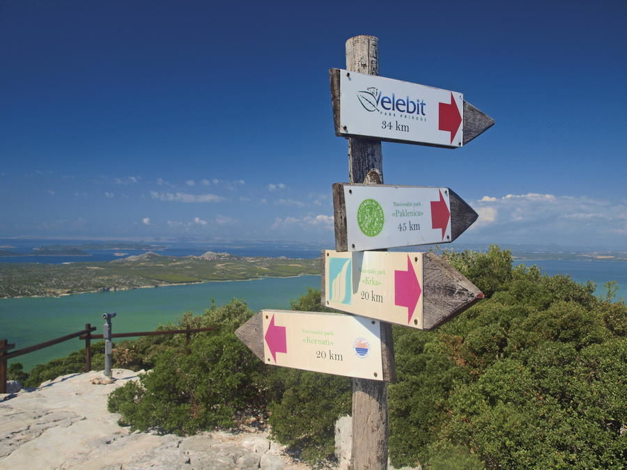
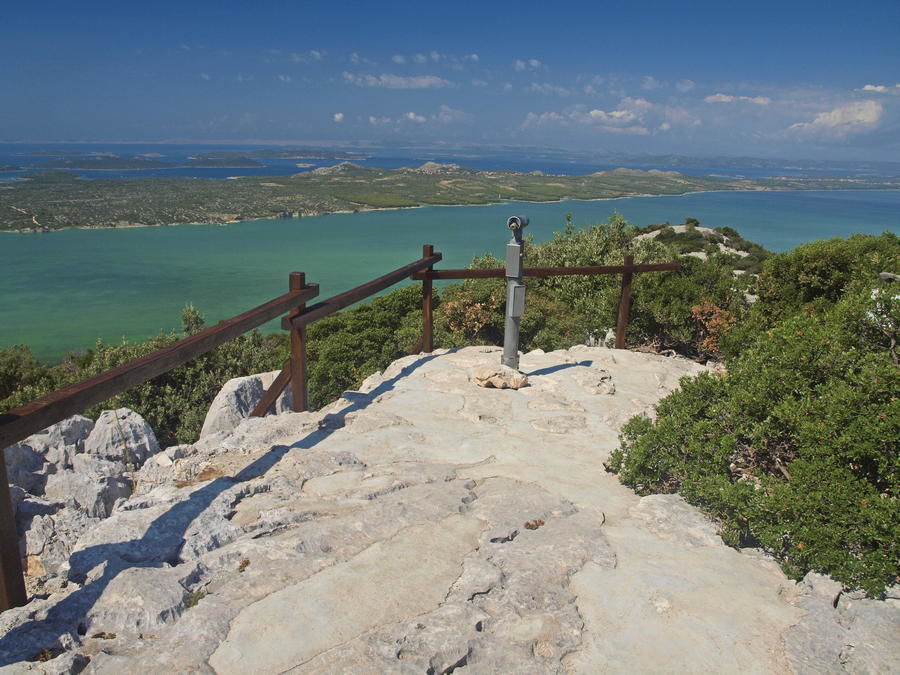
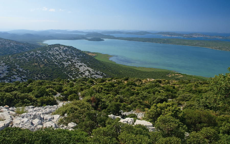
A curious traveler exploring northern Dalmatia on the trip between two cities rich in history – Šibenik and Zadar – will undoubtedly be attracted by an intriguing natural phenomenon along the way. On one side, the traveler's attention will be drawn by the low Adriatic coast, and on the other side, just few hundred meters away from the coast – by a large natural lake with typical wetland characteristics. There are few sites as small as this one, where one can experience three totally different landscapes: sea coast with a rich archipelago in front; Mediterranean wetland with a unique landscape and a rare wetland ecosystem; finally, the idyllic rural setting of the settlements of Ravni kotari right behind the hill.
- Stopień trudności
-
łatwe
- Ocena
-
- Trasa
-
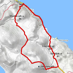
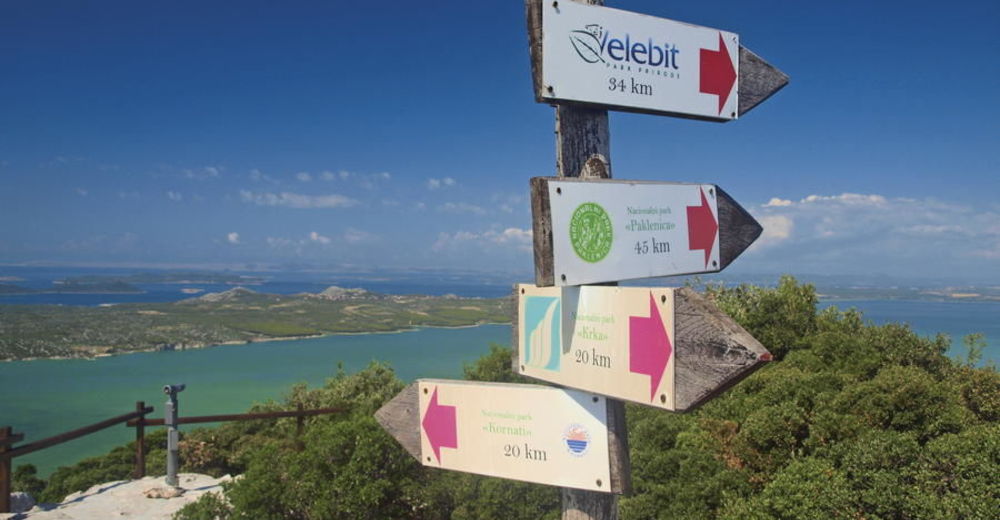
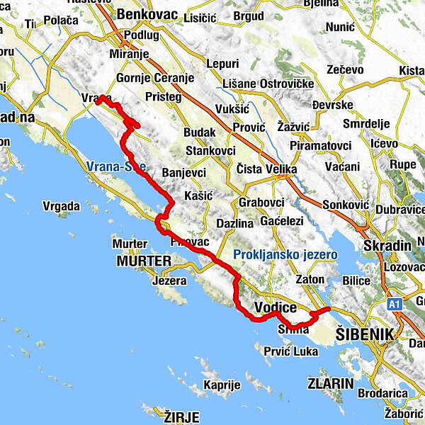
Aurana0,1 kmMarina0,2 kmPećina1,0 kmVrana1,4 kmMeđuvoda1,9 kmGradina2,5 kmGrabovac3,2 kmŽenska špilja3,7 kmMali Bak4,4 kmŠpilja pod Bakom4,6 kmOton5,6 kmVila6,1 kmZamina (194 m)7,1 kmKrklješove kuće7,6 kmOton8,6 kmŠkorobić9,5 kmPodgorom14,4 kmProsika24,4 kmTranquilo25,1 kmSlosella29,2 kmMartin32,2 kmMarin32,5 kmSovlje38,7 kmBlažene djevice Marije40,2 kmTrebocconi40,4 kmBlata42,3 kmDolac42,7 kmPlimica43,1 kmSv.Križa43,3 kmDulcin43,5 kmVodizze43,7 kmVruje44,3 kmLovetovo45,4 kmSrima46,5 kmgrill Popaj46,6 kmGuberina51,6 km
- Najlepszy sezon
-
stylutmarkwimajczelipsiewrzpaźlisgru
- Najwyższy punkt
- 214 m
- Miejsce docelowe
-
Šibenik
- Profil wysokości
-
 © outdooractive.com


-

-
AutorWycieczka Via Dinarica HR-B-12 Vransko Jezero Nature Park jest używany przez outdooractive.com pod warunkiem.
GPS Downloads


Więcej wycieczek w regionach