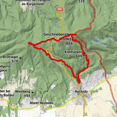
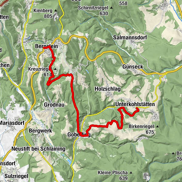
Alpannonia Genuss-Wanderstrecke Bernstein - Unterkohlstätten

Wędrówka
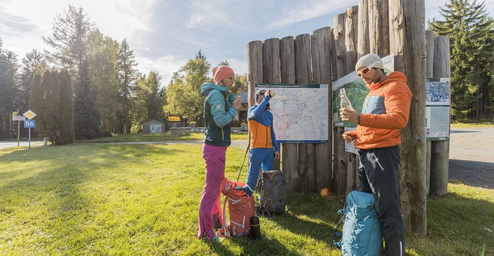
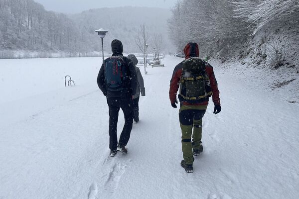
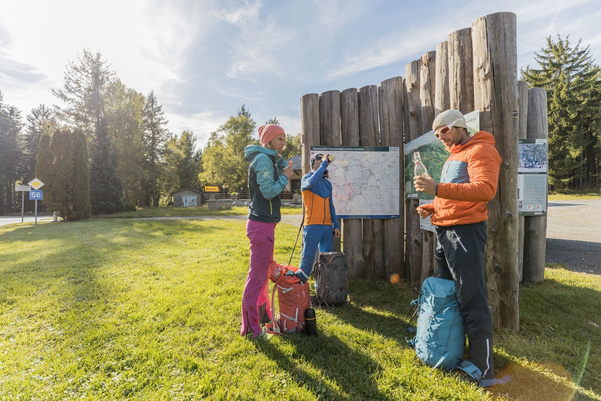
© Wiener Alpen in Niederösterreich - Alpannonia - Wiener Alpen / Martin Fülöp
- Krótki opis
-
Vom Bernsteiner Hügelland zum Zuhause der Köhler
- Trasa
-
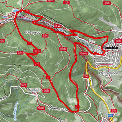
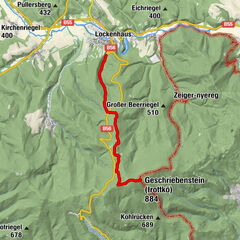
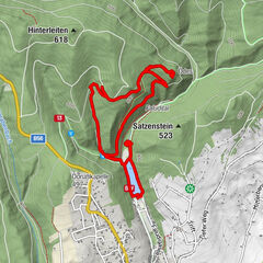
Evang. Pfarrkirche0,1 kmBernstein0,1 kmGasthof Heanzenhof0,2 kmOberhasel4,7 kmGoberling (385 m)8,4 kmReitboden (543 m)10,4 kmUnterkohlstätten14,8 kmGasthof Willi Holzschuster14,8 kmFilialkirche Mariae Heimsuchung14,8 km
- Najlepszy sezon
-
stylutmarkwimajczelipsiewrzpaźlisgru
- Najwyższy punkt
- 615 m
- Miejsce docelowe
-
Zentrum Unterkohlstätten
- Profil wysokości
-

- Autor
-
Wycieczka Alpannonia Genuss-Wanderstrecke Bernstein - Unterkohlstätten jest używany przez outdooractive.com pod warunkiem.
GPS Downloads


Informacje ogólne
Przystanek odświeżania
Kulturalny/Historyczny
Obiecujący
Więcej wycieczek w regionach
-
Wiener Alpen
3048
-
Bucklige Welt - Wiener Alpen
792
-
Bernstein
183