
- Krótki opis
-
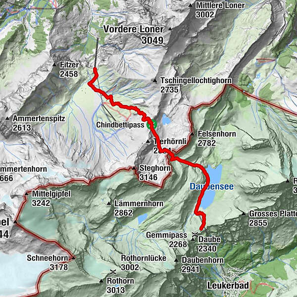
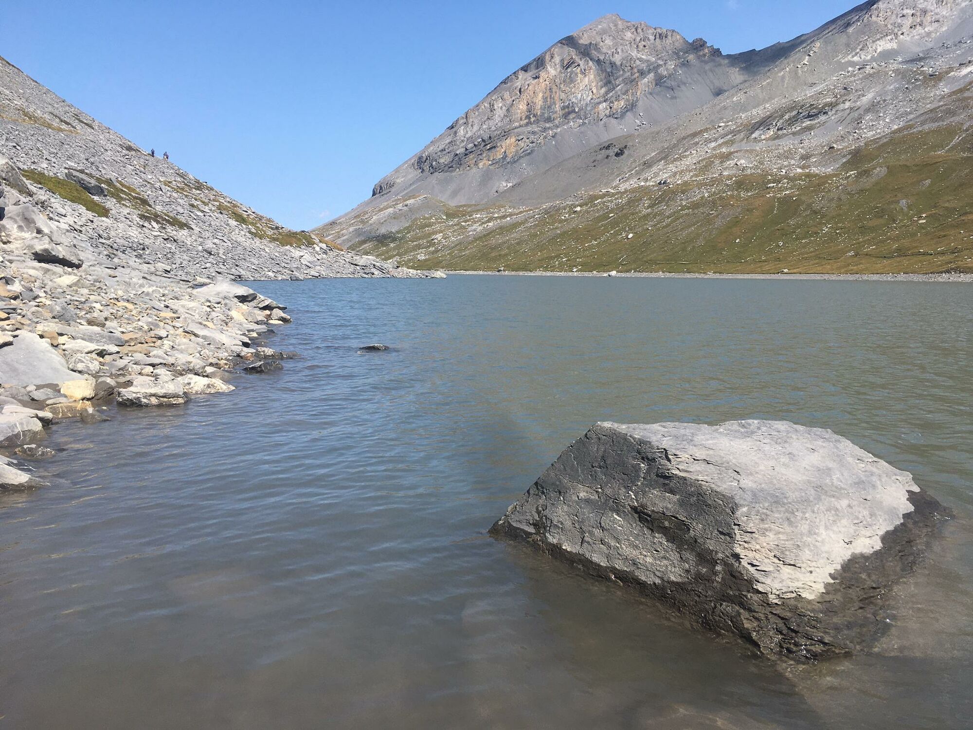
Engstligenalp, Tälligletscher, Daubensee and Gemmi: this four-and-a-half-hour route offers sure-footed hikers the whole range of alpine diversity from lush green high plateaus to mountain passes steeped in history.
- Stopień trudności
-
średni
- Ocena
-
- Trasa
-
Engstligenalp0,3 km
- Najlepszy sezon
-
stylutmarkwimajczelipsiewrzpaźlisgru
- Najwyższy punkt
- 2.615 m
- Miejsce docelowe
-
Gemmipass
- Profil wysokości
-
 © outdooractive.com
-

-
AutorWycieczka Engstligenalp – Chindbettipass – Daubensee – Gemmipass jest używany przez outdooractive.com pod warunkiem.
GPS Downloads


Informacje ogólne
Przystanek odświeżania
Obiecujący
Więcej wycieczek w regionach
-
Oberwallis
1872
-
Leuk/Leukerbad
1028
-
Leukerbad
309