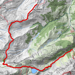
Tiger Trail: Wasserngrat valley station - Wasserngrat mountain station

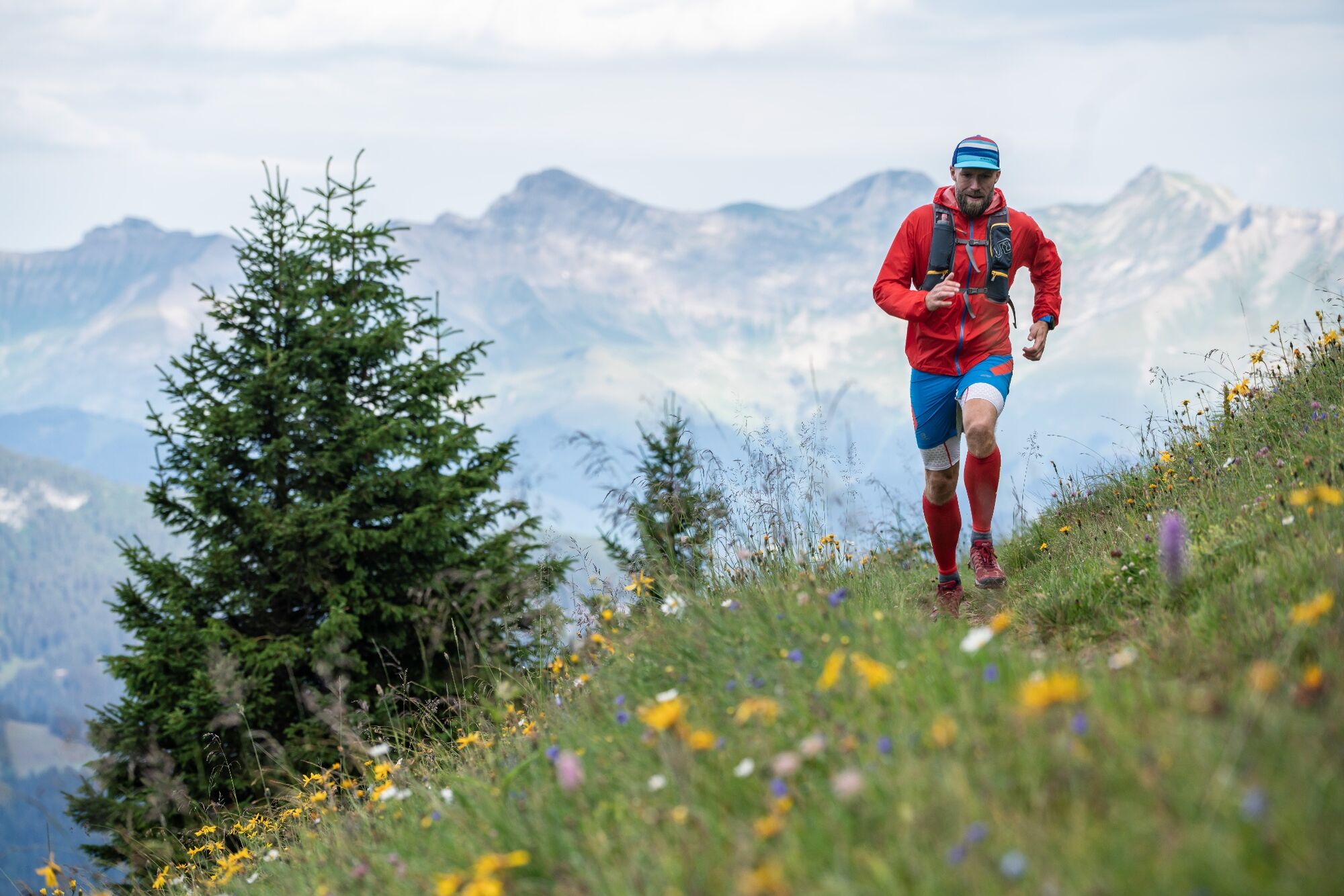
Trailrunning
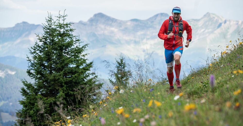
© Destination Gstaad - Destination Gstaad / Tom Malecha

- Krótki opis
-
Short but steep trail running course from the valley station to the top station of the Wasserngrat cable car.
- Stopień trudności
-
łatwe
- Ocena
-
- Trasa
-
Eagles Ski Club3,0 km
- Najlepszy sezon
-
stylutmarkwimajczelipsiewrzpaźlisgru
- Najwyższy punkt
- 1.935 m
- Miejsce docelowe
-
Wasserngrat mountain station
- Profil wysokości
-
 © outdooractive.com
-

-
AutorWycieczka Tiger Trail: Wasserngrat valley station - Wasserngrat mountain station jest używany przez outdooractive.com pod warunkiem.
GPS Downloads


Informacje ogólne
Przystanek odświeżania
Obiecujący
Więcej wycieczek w regionach
-
Thyon les Collons
92
-
Destination Gstaad
45
-
Gstaad
18