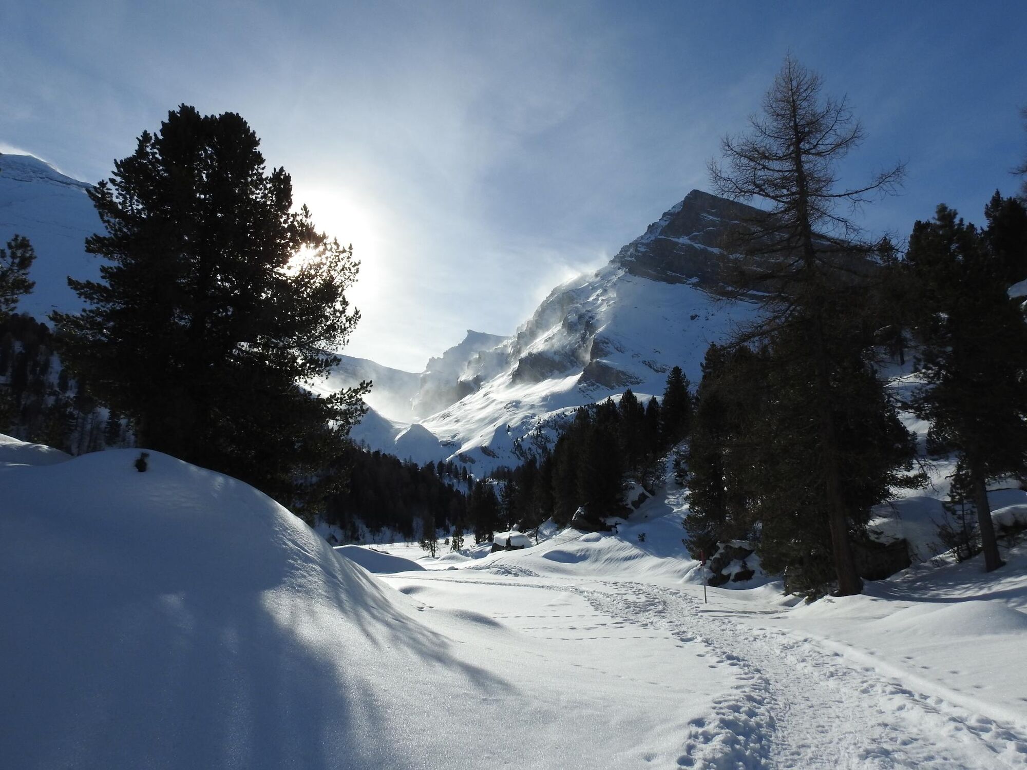
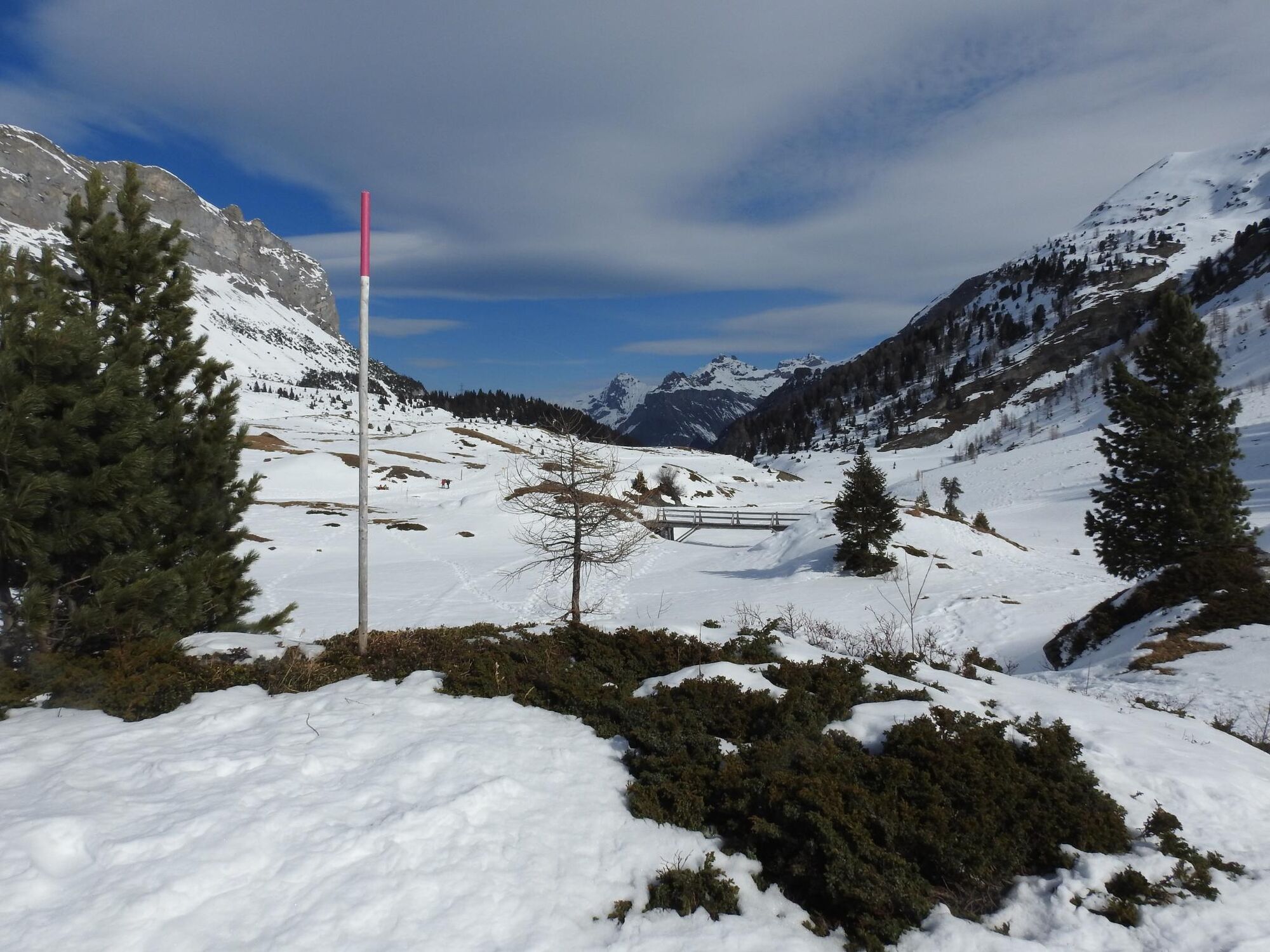
Spittelmatte Trail - Kandersteg (sig.)

Rakieta do chodzenia po śniegu


- Krótki opis
-
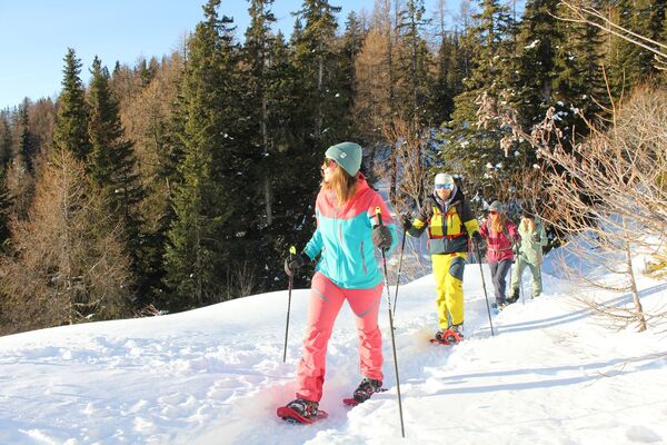
Starting from the Sunnbüel mountain station, the marked trail leads beyond the winter hiking trail to the Spittelmatte (1853 m), past an mountain hut and back to the starting point.
- Stopień trudności
-
średni
- Ocena
-
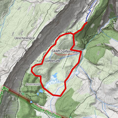
- Trasa
-
SunnbüelAltelshütte0,2 kmAltelshütte4,5 kmSunnbüel4,7 km
- Najlepszy sezon
-
siewrzpaźlisgrustylutmarkwimajczelip
- Najwyższy punkt
- 1.963 m
- Miejsce docelowe
-
Sunnbüel
- Profil wysokości
-
 © outdooractive.com
-

-
AutorWycieczka Spittelmatte Trail - Kandersteg (sig.) jest używany przez outdooractive.com pod warunkiem.
GPS Downloads


Informacje ogólne
Przystanek odświeżania
Więcej wycieczek w regionach