- Krótki opis
-
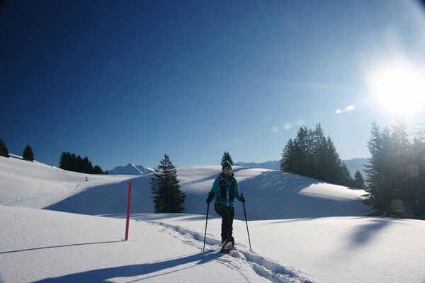
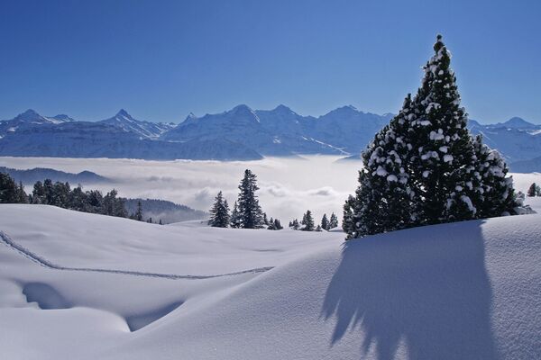
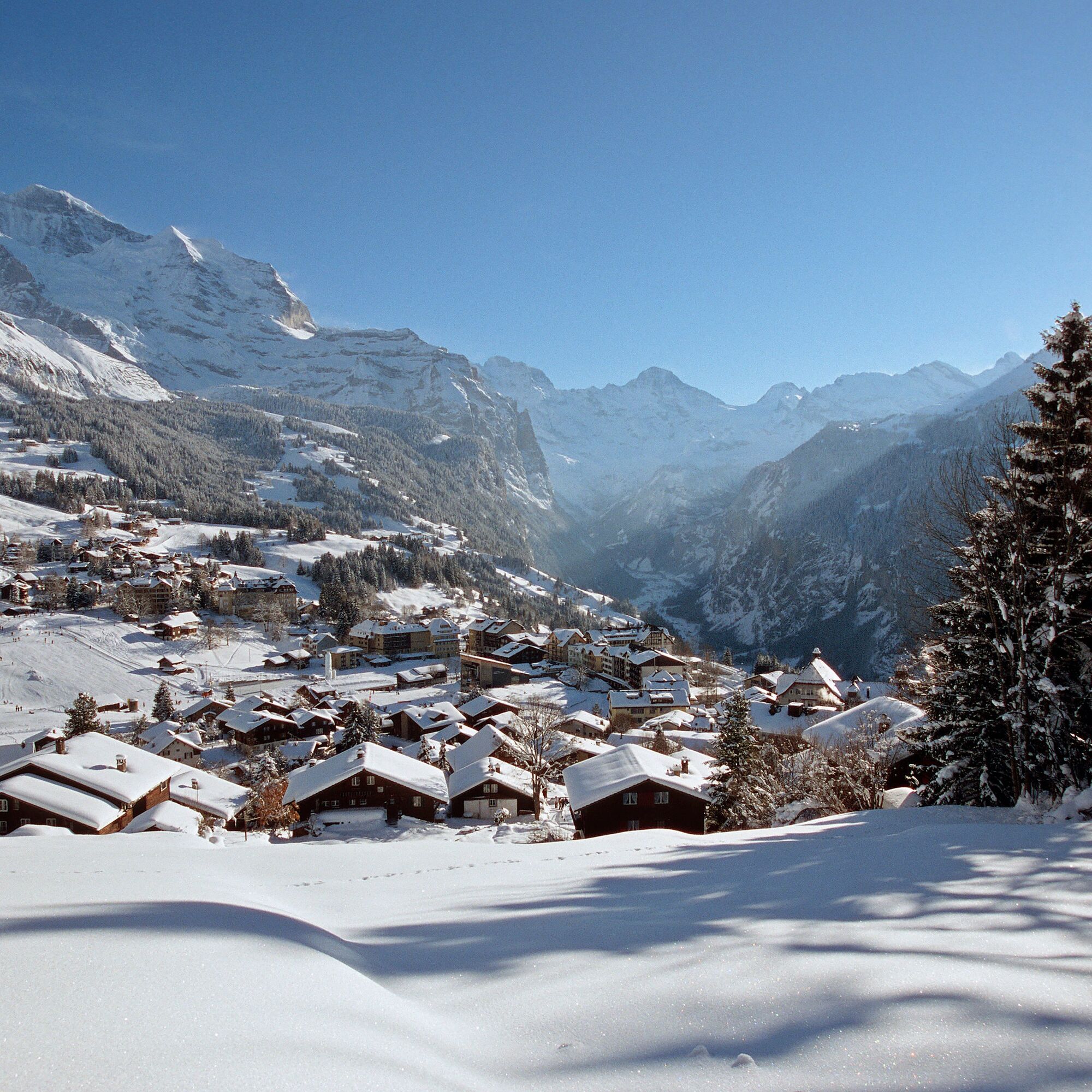
From the Leiterhorn, the Lauterbrunnen Valley presents itself in its entire length. Also magnificent: the view all the way up to the Jungfrau and the striking, pyramid-shaped Silberhorn.
- Stopień trudności
-
łatwe
- Ocena
-
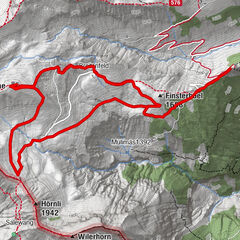
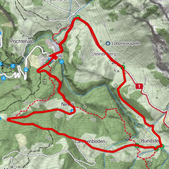
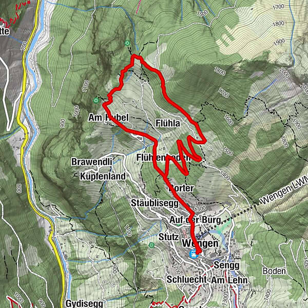
- Trasa
-
WengenGertschlimatteAm AcherGlausfuhrenRestaurant Eiger (1.276 m)0,0 kmGruebi beim Falken0,0 kmSchonegg0,0 kmPasta & More Restaurant0,1 kmSchilt0,2 kmRestaurant 19030,2 kmAuf der Burg0,3 kmAuf dem Bühl0,3 kmBodendiehle0,3 kmSchleif0,4 kmStutzera0,5 kmGruebiweidli0,5 kmGalliweidli0,5 kmStäublisegg0,5 kmBorter0,6 kmBirchen0,9 kmAn der Matte1,0 kmAn der Ledi1,2 kmAm Hubel1,5 kmLeiterhorn (1.515 m)2,4 kmFlühla4,0 kmStutzera4,3 kmFlühlenboden4,6 kmStäublisegg4,8 kmBorter4,9 kmGalliweidli4,9 kmGruebiweidli5,0 kmRestaurant 19035,1 kmSchleif5,1 kmBodendiehle5,1 kmAuf dem Bühl5,2 kmAuf der Burg5,2 kmSchilt5,2 kmPasta & More Restaurant5,4 kmWengen5,4 kmGertschlimatte5,4 kmSchonegg5,5 kmGruebi beim Falken5,5 kmRestaurant Eiger (1.276 m)5,5 kmAm Acher5,5 kmGlausfuhren5,5 km
- Najlepszy sezon
-
siewrzpaźlisgrustylutmarkwimajczelip
- Najwyższy punkt
- 1.521 m
- Miejsce docelowe
-
Wengen
- Profil wysokości
-
 © outdooractive.com
- Autor
-
Wycieczka Leiterhorn Trail jest używany przez outdooractive.com pod warunkiem.
GPS Downloads


Informacje ogólne
Obiecujący
Więcej wycieczek w regionach
-
Aletsch Arena
131
-
Jungfrau Region
73
-
Wengen
26