© Interlaken Tourismus - Melanie Studer
© Christian Ibach - Melanie Studer

© Interlaken Tourismus - Melanie Studer

© Interlaken Tourismus - Melanie Studer

© Interlaken Tourismus - Melanie Studer

- Krótki opis
-
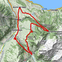
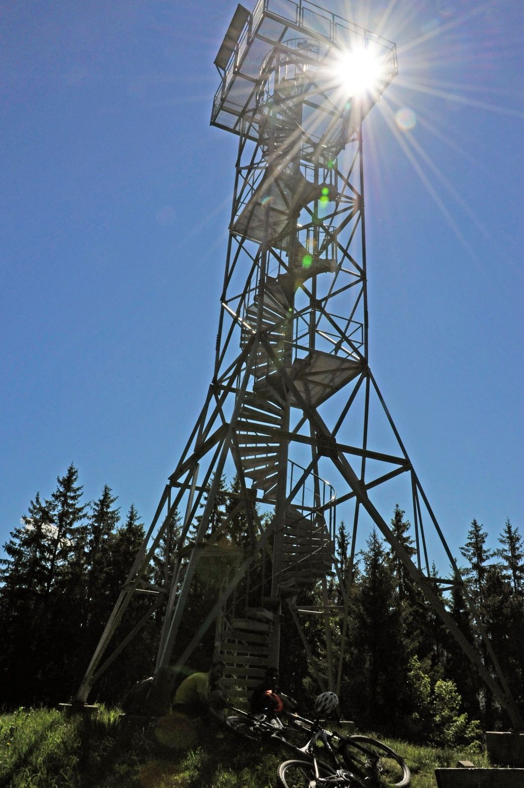
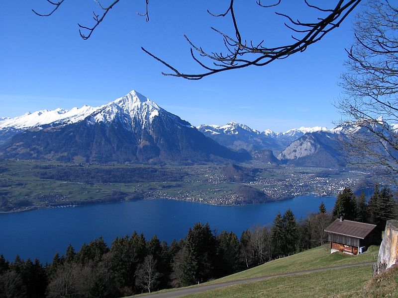
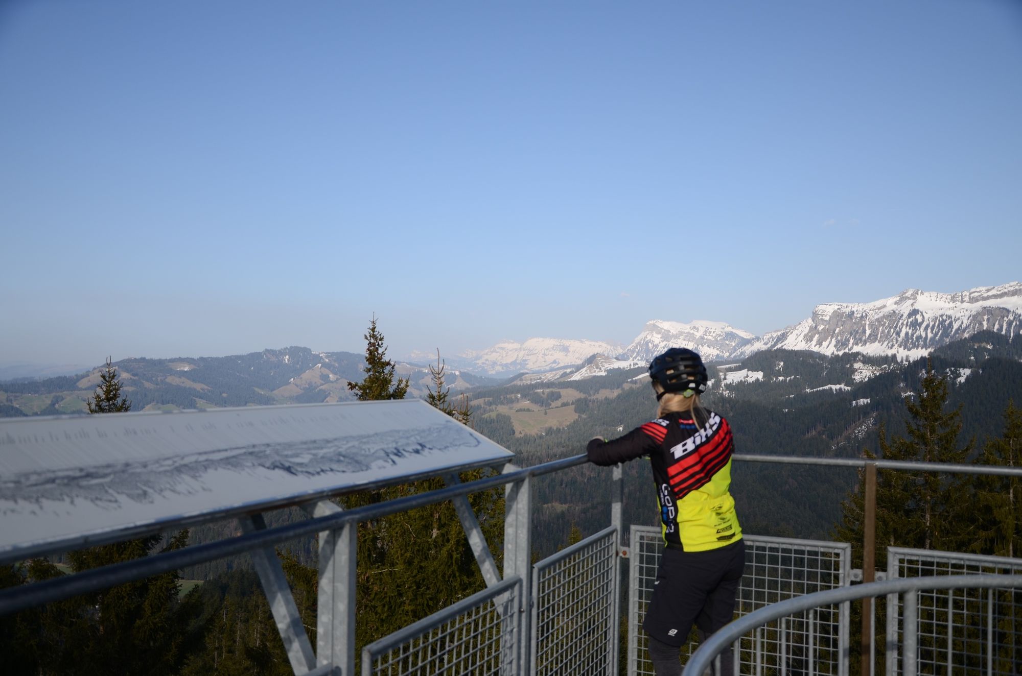
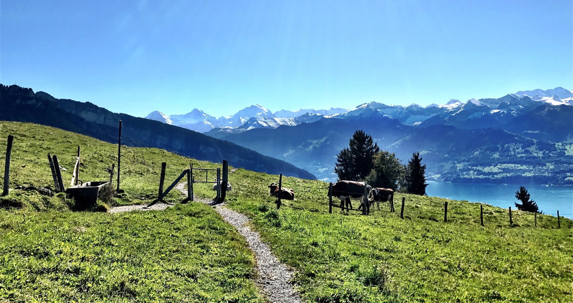
Eine sportlich herausfordernde Tour die Ihnen sowohl harte Oberschenkel als auch eine prachtvolle Aussicht verschafft.
- Stopień trudności
-
średni
- Ocena
-
- Trasa
-
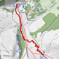
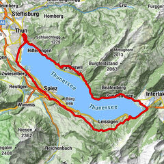
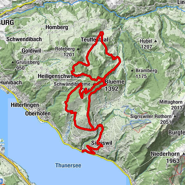
Gunten0,1 kmSigriswil (810 m)2,4 kmSchwändiblueme (1.396 m)12,3 kmBlueme (1.392 m)12,6 kmMeiersmaad14,2 kmHalten17,0 kmTeuffenthal17,8 kmOberdorf18,1 kmBoden18,8 kmWinkelweid19,3 kmSchluechtegg (1.279 m)21,4 kmMargel25,9 km
- Najwyższy punkt
- 1.386 m
- Profil wysokości
-
 © outdooractive.com

- Autor
-
Wycieczka Blueme III jest używany przez outdooractive.com pod warunkiem.
GPS Downloads


Więcej wycieczek w regionach
-
Eriztal
60
-
Sigriswil und Gunten
21