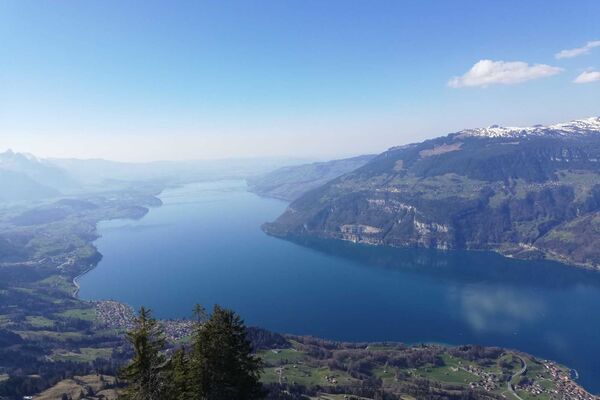
© Interlaken Tourismus - Melanie Studer


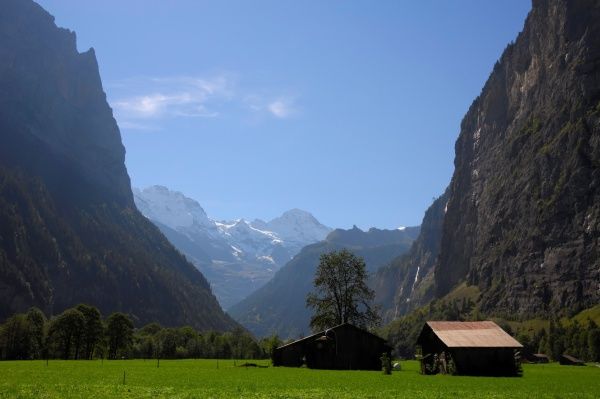
© Unbekannt - Melanie Studer

© Interlaken Tourismus - Melanie Studer

- Krótki opis
-
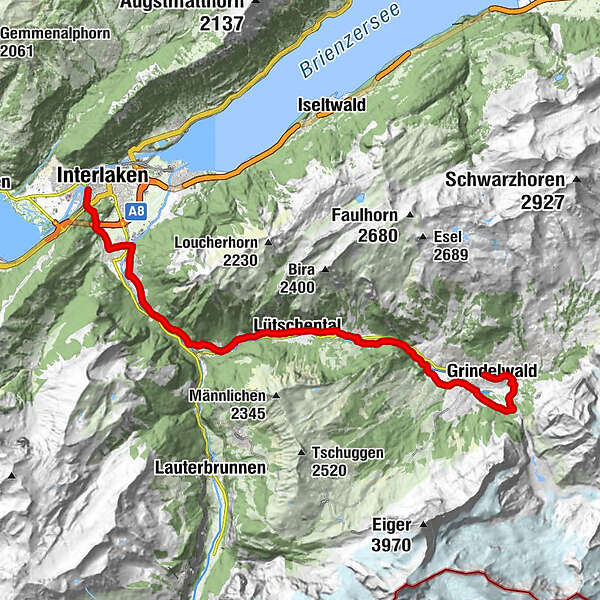
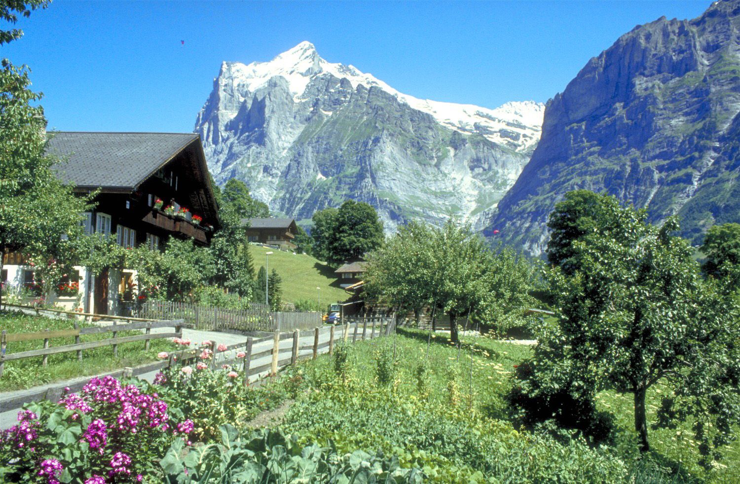
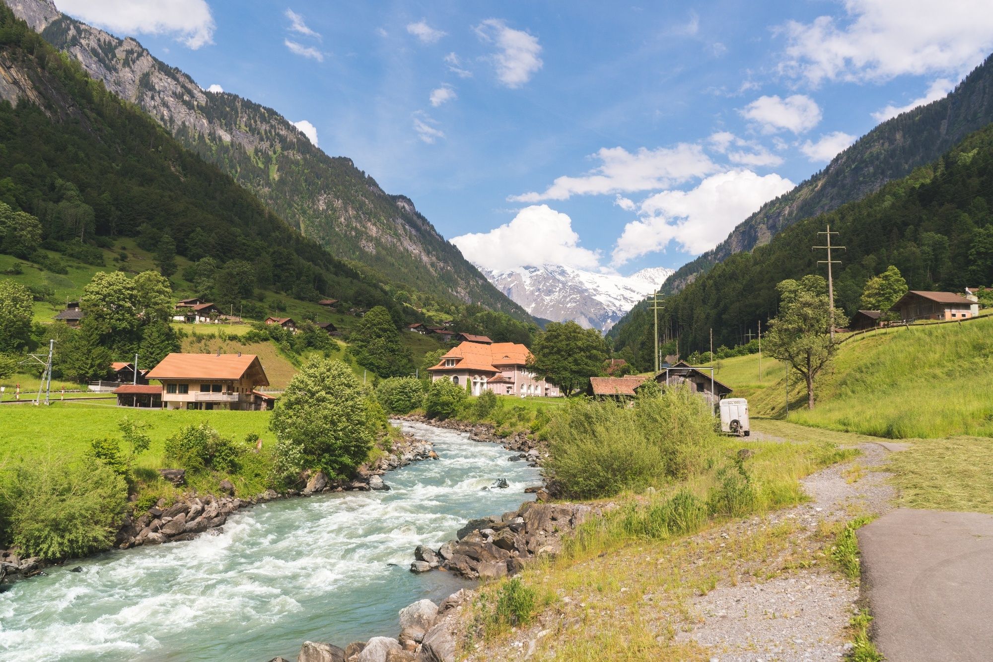
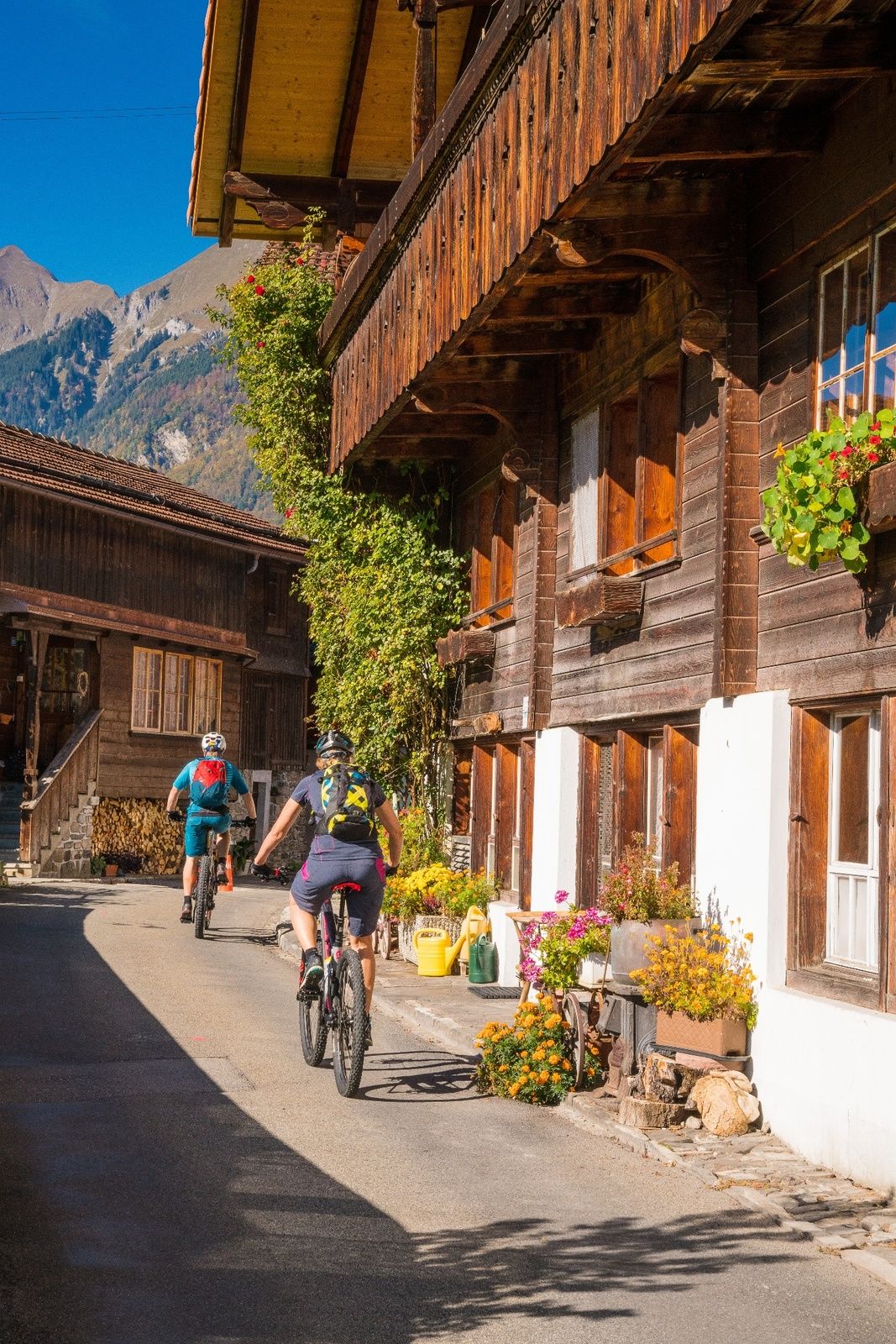
A gentle ascent alongside the River Lütschine to Zweitlütschinen. From here, a somewhat steeper trail leads over meadows and through charming hamlets to Grindelwald.
- Stopień trudności
-
średni
- Ocena
-
- Trasa
-
Unterseen (567 m)Interlaken (568 m)Interlaken West (564 m)Möösli0,2 kmWagneren0,6 kmWagnerschlucht0,7 kmUnspunnen1,2 kmWilderswil2,7 kmWilderswil (584 m)3,1 kmGsteig3,3 kmKirche Gsteig3,4 kmSteakhouse Steinbock3,5 kmGsteigwiler4,9 kmZweilütschinen8,2 kmBlasi8,2 kmMoosmatte8,5 kmIm Zaun8,5 kmGündlischwand8,7 kmLüüwi8,7 kmBletscha8,7 kmBoden8,7 kmBurghalte8,8 kmGässli8,9 kmHübeli8,9 kmDorfstrasse9,1 kmMurerli9,2 kmEyetli9,3 kmRüdli9,5 kmGufrit9,8 kmStaldi9,8 kmAebnit10,0 kmChalchweidli10,4 kmAm Chienbach10,4 kmBaumgarten10,6 kmSteinen11,0 kmLischen11,1 kmLischenstutz11,2 kmWyden11,2 kmLauenen11,6 kmHüslimatte11,7 kmGietli12,1 kmBriggmättli12,2 kmLütschental12,2 kmBodenacher12,3 kmStegmatte12,4 kmUnter dem Rain12,5 kmRain12,5 kmBuchholz12,6 kmGadenstatt12,9 kmSteinenegg13,0 kmStaldenweidli13,2 kmStalden13,5 kmHotel-Restaurant Stalden13,7 kmBurglauenen14,3 kmBurglauenen14,4 kmSchwendi17,0 kmRestaurant Grund19,2 kmGrindelwald23,6 kmSwiss Alp Resort23,9 km
- Najlepszy sezon
-
stylutmarkwimajczelipsiewrzpaźlisgru
- Najwyższy punkt
- 1.045 m
- Miejsce docelowe
-
Grindelwald, Bahnhof
- Profil wysokości
-
 © outdooractive.com
- Autor
-
Wycieczka Tour to Grindelwald, the Glacier Village jest używany przez outdooractive.com pod warunkiem.
GPS Downloads


Więcej wycieczek w regionach
-
Aletsch Arena
126
-
Jungfrau Region
63
-
Wengen
25