- Krótki opis
-
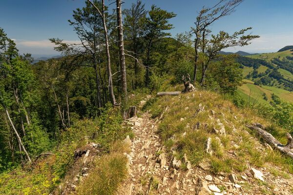
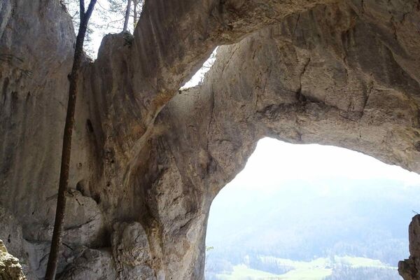
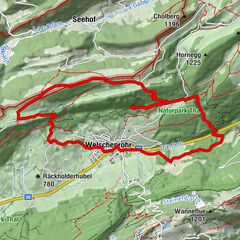
Zwischen einen steilen Aufstieg und einen ebenfalls steilen Abstieg fügt sich eine Höhenwanderung über den Mont Raimeux in seiner ganzen Ost-West-Ausdehnung. Auf dem höchsten Punkt thront ein Aussichtsturm. Wenig Abschnitte auf Hartbelag.
- Stopień trudności
-
średni
- Ocena
-
- Trasa
-
Corcelles (655 m)0,4 kmMont Raimeux (1.302 m)9,0 kmRaimeux de Grandval9,7 kmRestaurant Le Signal9,8 kmPrés Fleurets10,9 kmRaimeux de Belprahon11,9 kmGressins dessus12,0 kmGressins dessous12,4 kmPlateforme13,9 kmMünster (535 m)16,4 kmMoutier (529 m)16,5 km
- Najlepszy sezon
-
stylutmarkwimajczelipsiewrzpaźlisgru
- Najwyższy punkt
- 1.299 m
- Miejsce docelowe
-
Moutier
- Profil wysokości
-
 © outdooractive.com

-

-
AutorWycieczka Mont Raimeux - Die einsame Jurahöhe jest używany przez outdooractive.com pod warunkiem.
GPS Downloads

Informacje ogólne
Przystanek odświeżania
Więcej wycieczek w regionach
-
Kanton Jura
1150
-
Bucheggberg
525
-
Val Terbi
147