© Martin Wymann / Naturpark Diemtigtal

© Martin Wymann / Naturpark Diemtigtal

© Martin Wymann / Naturpark Diemtigtal

© Martin Wymann / Naturpark Diemtigtal

- Krótki opis
-
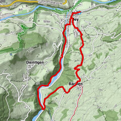
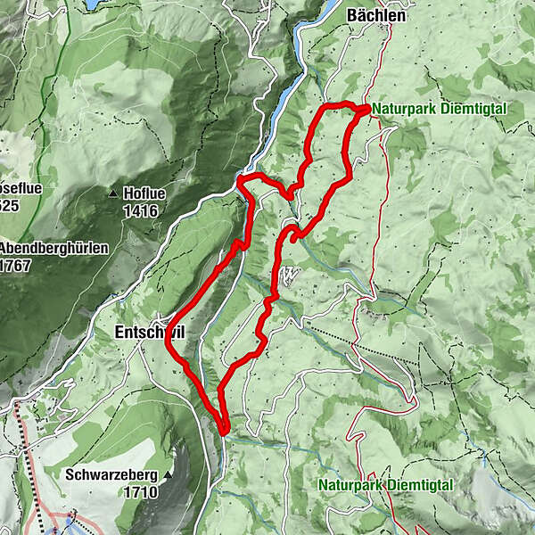
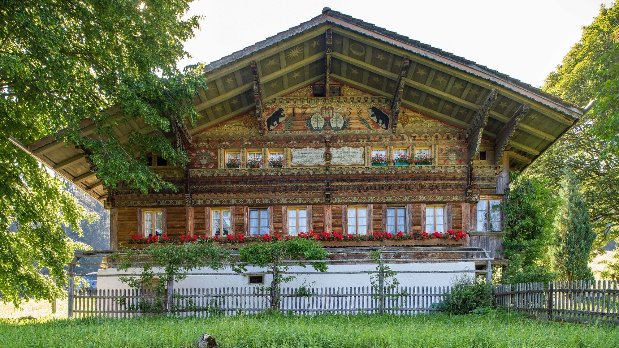
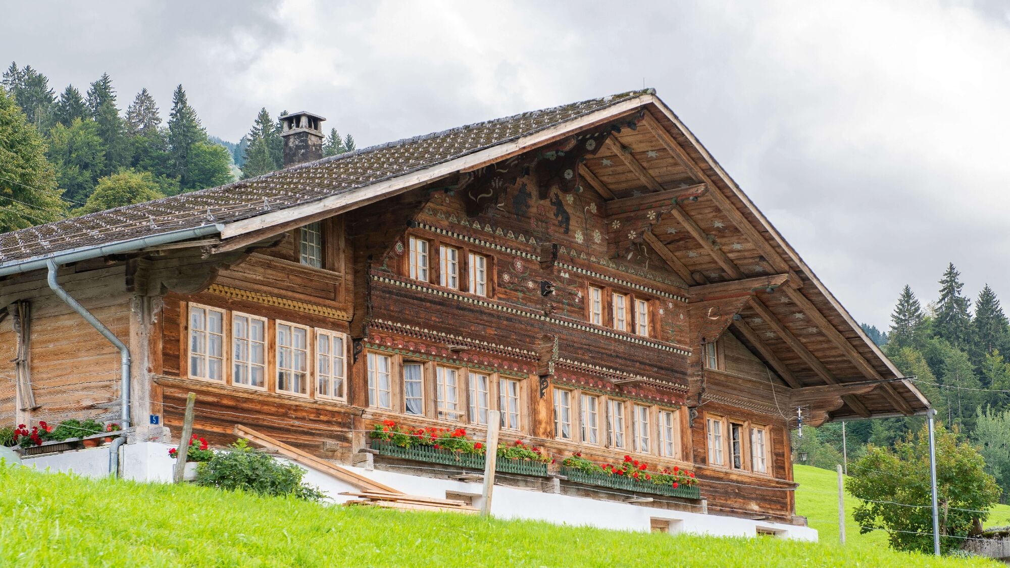
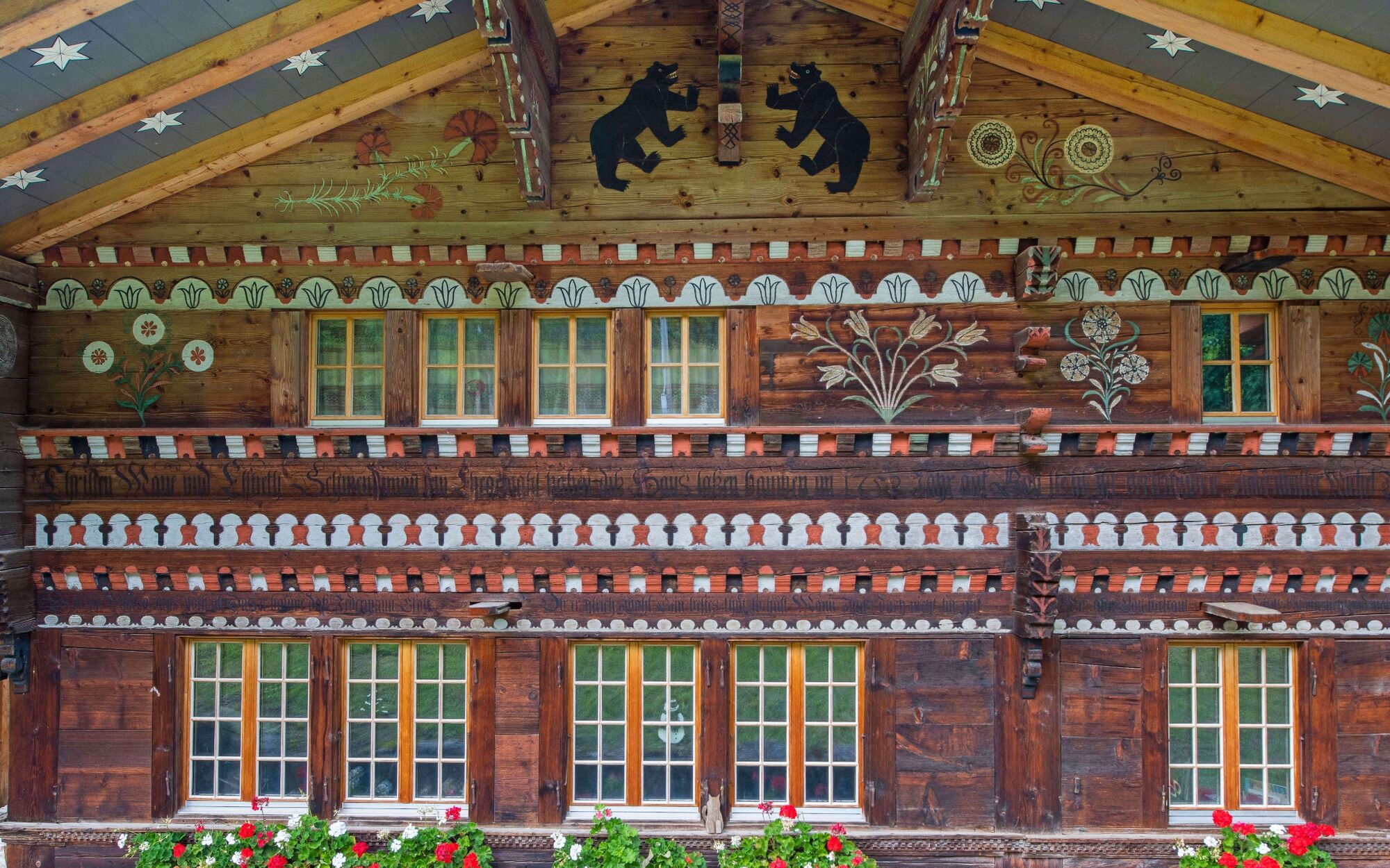
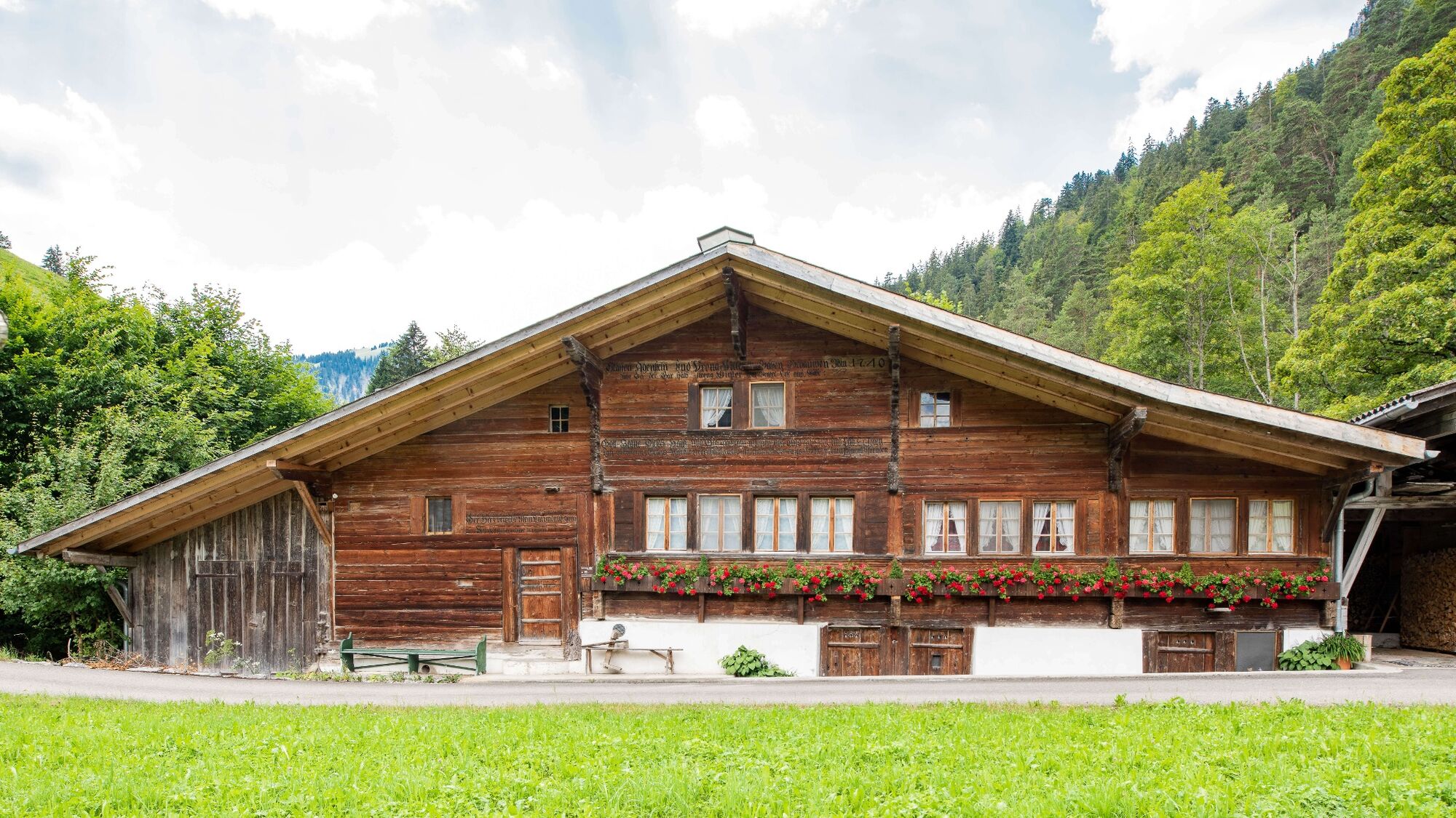
Thanks to far-sighted local planning, the municipality of Diemtigen has successfully preserved the character of the valley's settlements. «The Middle of the valley» house trail takes you to the most magnificent witnesses in the centre of the valley.
- Stopień trudności
-
łatwe
- Ocena
-
- Trasa
-
Entschwil2,0 kmRothbad5,3 km
- Najlepszy sezon
-
stylutmarkwimajczelipsiewrzpaźlisgru
- Najwyższy punkt
- 1.125 m
- Miejsce docelowe
-
PostBus stop «Horboden, Chirel»
- Profil wysokości
-
 © outdooractive.com
- Autor
-
Wycieczka Diemtigtal House Trail «Middle of the valley» jest używany przez outdooractive.com pod warunkiem.
GPS Downloads


Informacje ogólne
Przystanek odświeżania
Kulturalny/Historyczny
Wskazówka dla osób mających dostęp do poufnych informacji
Obiecujący
Więcej wycieczek w regionach
-
Oberwallis
1877
-
Naturpark Diemtigtal
937
-
Erlenbach / Simmental
228