© Interlaken Tourismus - Melanie Studer

© Interlaken Tourismus - Melanie Studer

© Interlaken Tourismus - Melanie Studer

- Krótki opis
-
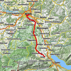
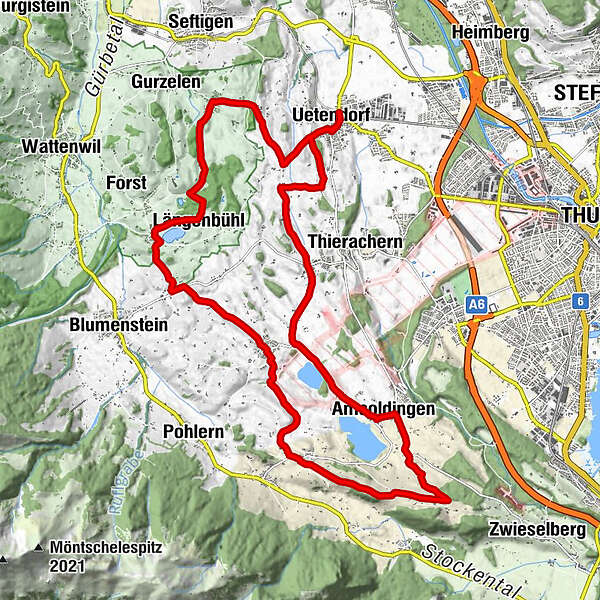
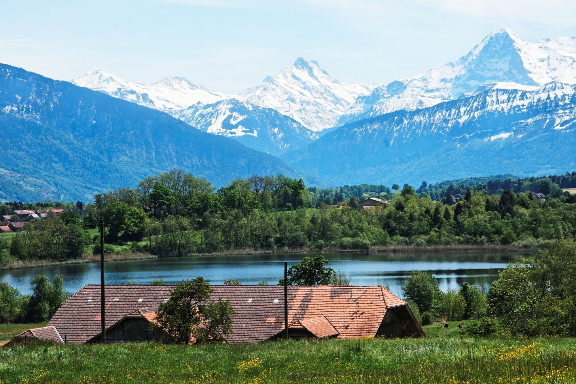
One of the most beautiful cycling routes to the west of Thun, leading through a primeval landscape and past four tiny moraine lakes.
- Stopień trudności
-
łatwe
- Ocena
-
- Trasa
-
Uetendorf (554 m)0,2 kmBim Wald5,8 kmLängenbühl (654 m)5,9 kmUebeschi (685 m)9,9 kmHöfen (705 m)12,8 kmDürrenacker16,2 kmBühl16,2 kmAmsoldingen (637 m)17,7 kmUebeschi (685 m)20,0 kmGibliz23,6 kmWildenrütti23,8 kmUetendorf (554 m)25,1 km
- Najlepszy sezon
-
stylutmarkwimajczelipsiewrzpaźlisgru
- Najwyższy punkt
- 747 m
- Miejsce docelowe
-
Uetendorf
- Profil wysokości
-
 © outdooractive.com


- Autor
-
Wycieczka Moraine Lakes Route jest używany przez outdooractive.com pod warunkiem.
GPS Downloads


Informacje ogólne
Kulturalny/Historyczny
Więcej wycieczek w regionach