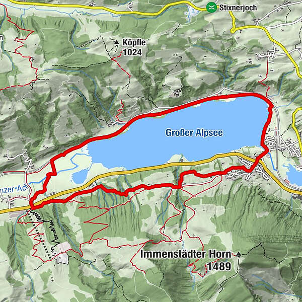
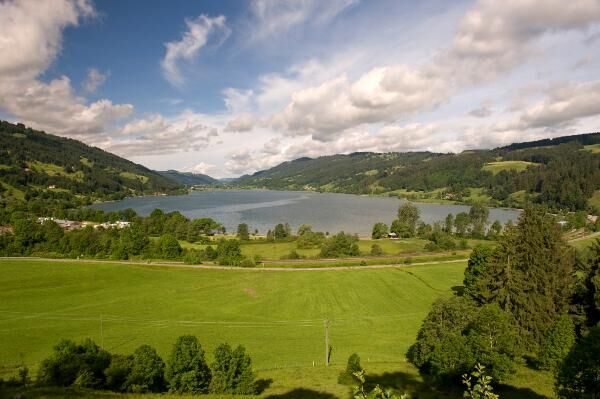
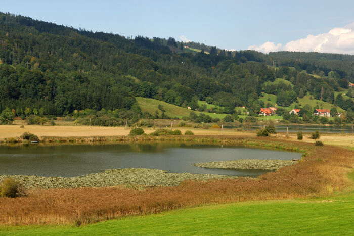
Alpseerunde – Wanderung um den größten Natursee des Allgäus

Wędrówka

© Naturpark Nagelfluhkette e.V. - Naturpark Nagelfluhkette

© Naturpark Nagelfluhkette e.V. - Naturpark Nagelfluhkette


© Naturpark Nagelfluhkette e.V. - Naturpark Nagelfluhkette

- Krótki opis
-
Dein Freiraum - Mein Lebensraum. Verantwortungsvoll in der Natur unterwegs. Empfohlene Tour!
- Stopień trudności
-
średni
- Ocena
-
- Trasa
-
Bühl a.AlpseeGasthaus zum Alpsee0,1 kmHintersee7,3 kmSt. Cyprian8,7 kmGschwend9,0 kmChristushaus Allgäu10,8 kmBühl a.Alpsee10,8 kmSt. Stephan11,0 kmLoretokapelle11,0 km
- Najlepszy sezon
-
stylutmarkwimajczelipsiewrzpaźlisgru
- Najwyższy punkt
- 854 m
- Miejsce docelowe
-
Naturparkzentrum Nagelfluhkette - Bühl
- Profil wysokości
-
 © outdooractive.com

- Autor
-
Wycieczka Alpseerunde – Wanderung um den größten Natursee des Allgäus jest używany przez outdooractive.com pod warunkiem.
GPS Downloads


Informacje ogólne
Przystanek odświeżania
Kulturalny/Historyczny
Flora
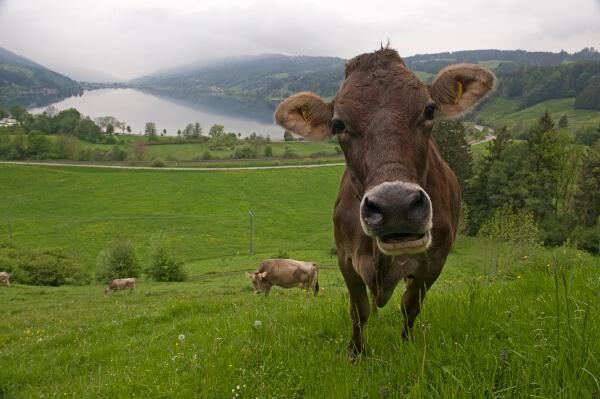
Fauna
Obiecujący
Więcej wycieczek w regionach
-
Allgäu
2357
-
Oberallgäu
1584
-
Alpsee Bergwelt
601