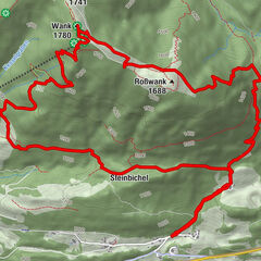
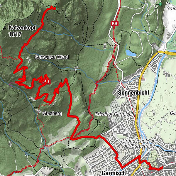
Via St. Martin at Mount Grasberg to the “Königsstand” (Mount Kramer)

Wędrówka

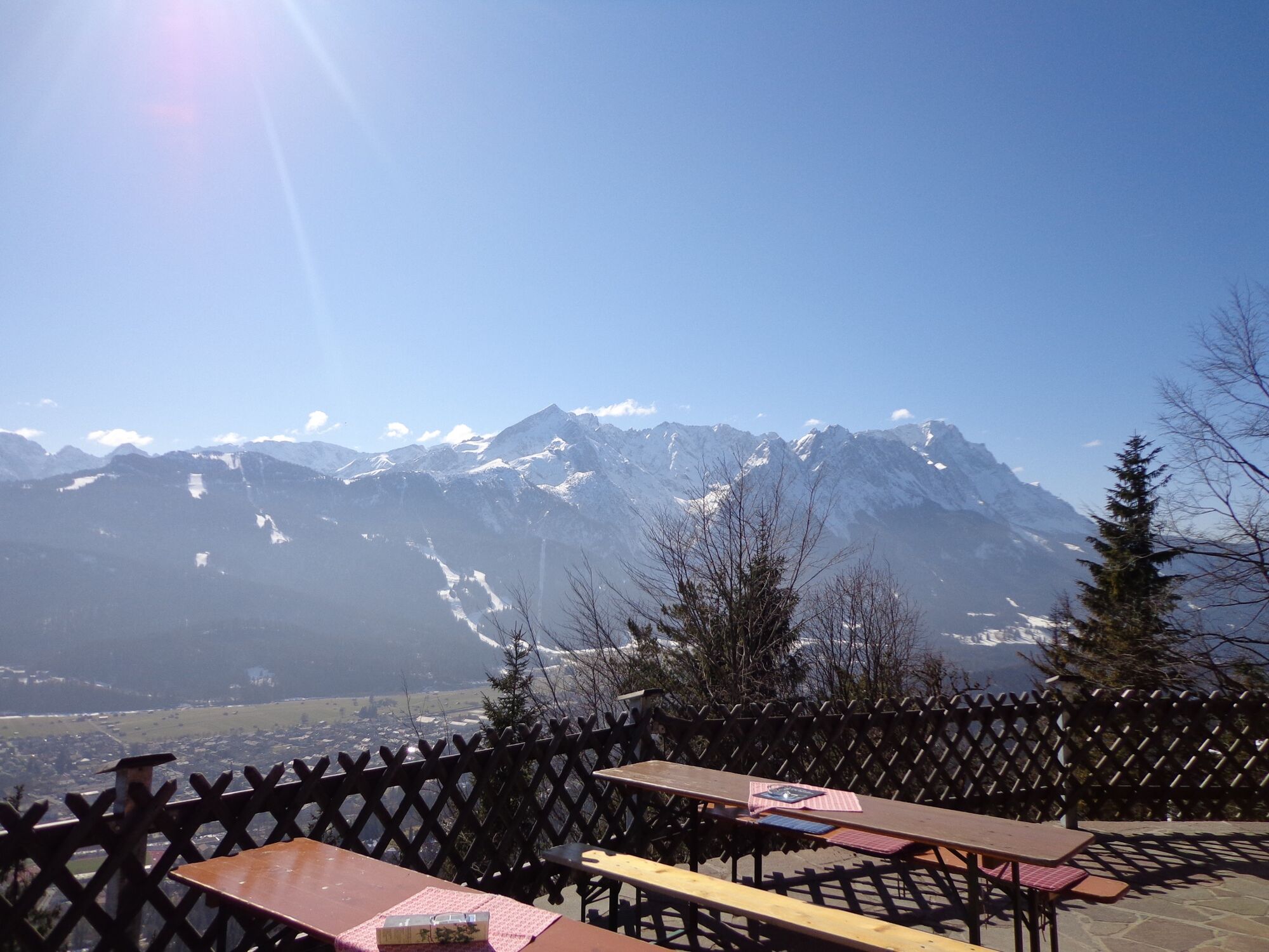
© GaPa Tourismus GmbH - Kathrin Richter

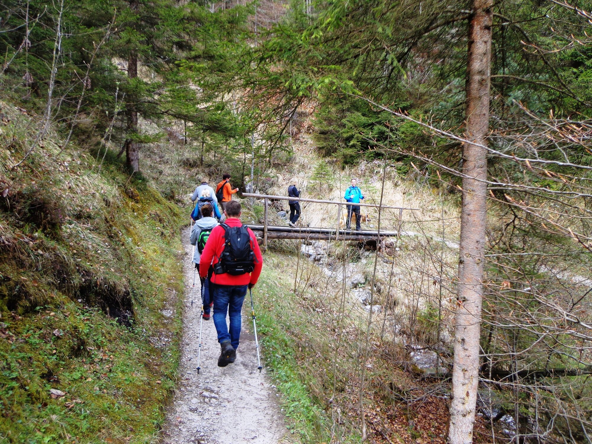
© GaPa Tourismus GmbH - Kathrin Richter


- Krótki opis
-
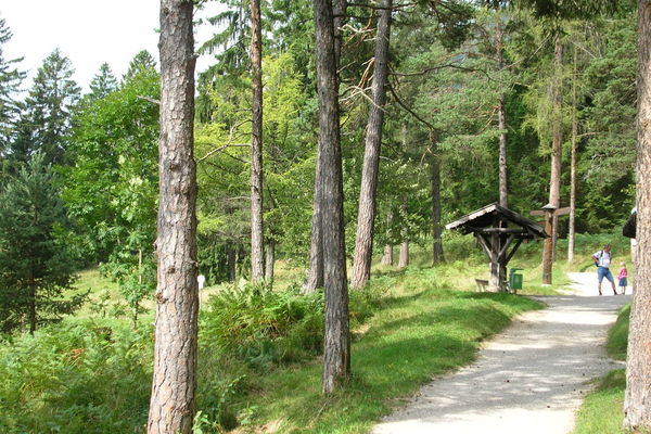
This trail is exactly right for you if you would like to turn a walk on the Kramer plateau into more of a sportive hiking tour. The mountain hut St.-Martin-Hütte offers one of the most beautiful views in Garmisch-Partenkirchen.
- Stopień trudności
-
średni
- Ocena
-
- Trasa
-
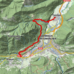
Garmisch-Partenkirchen (708 m)Garmisch0,9 kmSt. Martin am Grasberg3,7 kmFelsen-Kanzel5,1 km
- Najlepszy sezon
-
stylutmarkwimajczelipsiewrzpaźlisgru
- Najwyższy punkt
- 1.466 m
- Miejsce docelowe
-
Tourist Information Garmisch-Partenkirchen
- Profil wysokości
-
 © outdooractive.com


- Autor
-
Wycieczka Via St. Martin at Mount Grasberg to the “Königsstand” (Mount Kramer) jest używany przez outdooractive.com pod warunkiem.
GPS Downloads


Informacje ogólne
Przystanek odświeżania
Uzdrawiający klimat
Kulturalny/Historyczny
Obiecujący
Więcej wycieczek w regionach
-
ZugspitzLand
1623
-
Garmisch-Partenkirchen
555