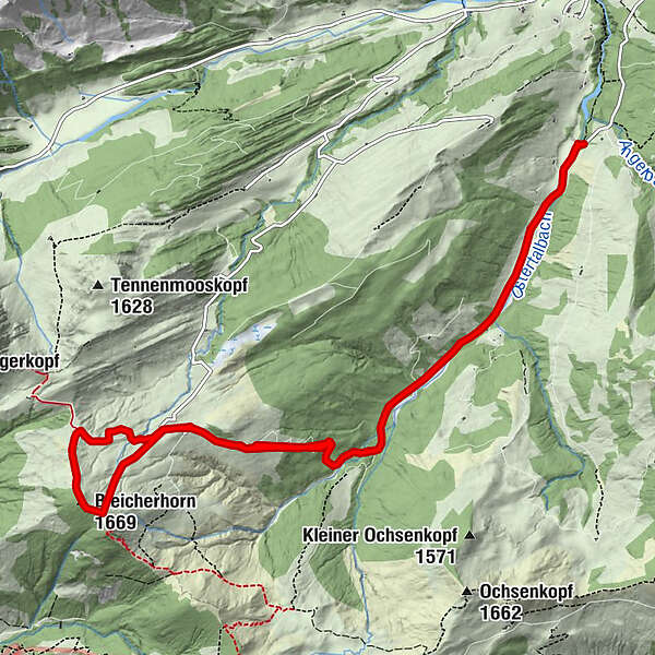
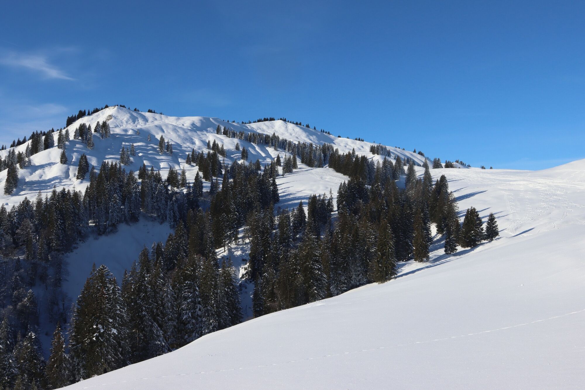
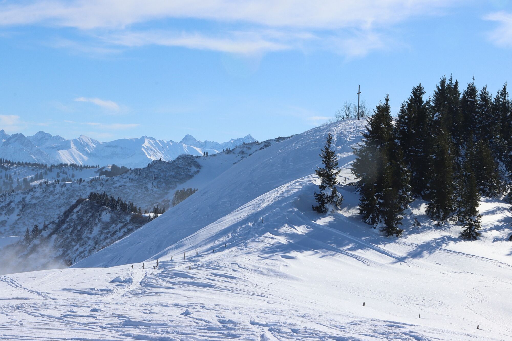
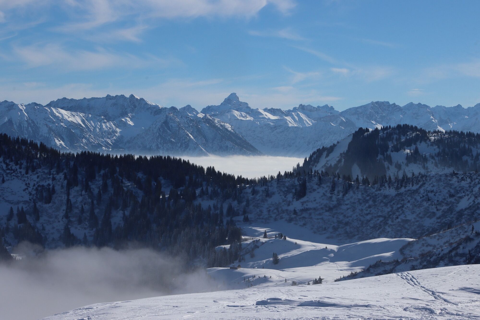
Von Gunzesried auf's Bleicherhorn (1.669m)

Rakieta do chodzenia po śniegu

© Naturpark Nagelfluhkette e.V. - Naturpark Nagelfluhkette

© Naturpark Nagelfluhkette e.V. - Naturpark Nagelfluhkette

© Naturpark Nagelfluhkette e.V. - Naturpark Nagelfluhkette

© Naturpark Nagelfluhkette e.V. - Naturpark Nagelfluhkette

- Krótki opis
-
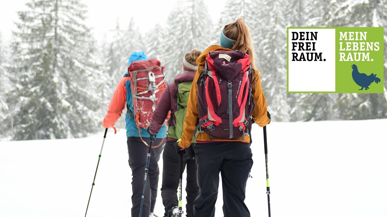
Dein Freiraum - Mein Lebensraum. Verantwortungsvoll in der Natur unterwegs. Empfohlene Tour!
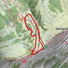
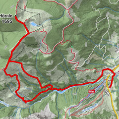
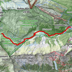
Die Tour führt an den Wald-Wild-Schongebieten des Ostertals und am Bleicherhorn entlang. Sie sind wichtige Lebensräume für Birk- und teilweise Auerhühner sowie für Gams und Rothirsch. Diese Bereiche bitte nicht betreten! Danke!
- Stopień trudności
-
średni
- Ocena
-
- Trasa
-
Bleicherhorn (1.669 m)6,5 km
- Najlepszy sezon
-
siewrzpaźlisgrustylutmarkwimajczelip
- Najwyższy punkt
- 1.656 m
- Profil wysokości
-
 © outdooractive.com
- Autor
-
Wycieczka Von Gunzesried auf's Bleicherhorn (1.669m) jest używany przez outdooractive.com pod warunkiem.
GPS Downloads


Informacje ogólne
Obiecujący
Więcej wycieczek w regionach