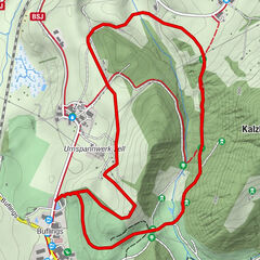
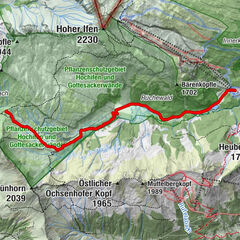
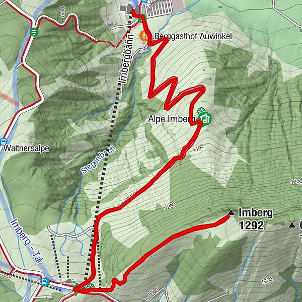
Von Steibis auf den Imberg (1.290m)

Rakieta do chodzenia po śniegu

© Naturpark Nagelfluhkette e.V. - Naturpark Nagelfluhkette

- Krótki opis
-
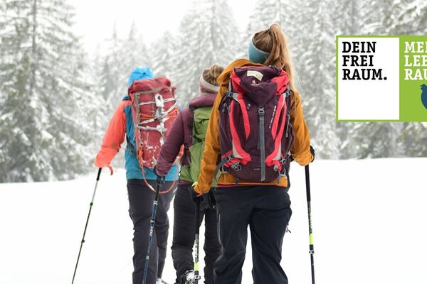
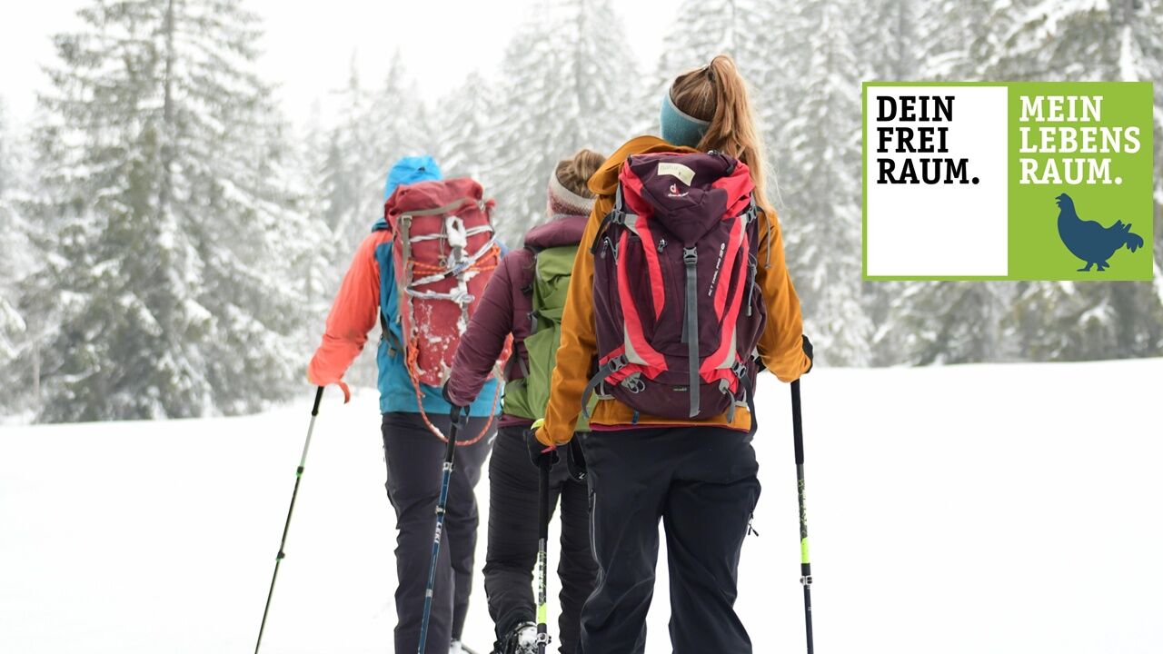
Dein Freiraum - Mein Lebensraum. Verantwortungsvoll in der Natur unterwegs. Empfohlene Tour!
Die Tour führt ab der Talstation der Imbergbahn abseits der Pisten auf den Imberg. Die Tour befindet sich ausschließlich auf naturverträglichen Pfanden.
- Stopień trudności
-
łatwe
- Ocena
-
- Trasa
-
Berggasthof Auwinkel0,1 kmAlpe Imberg1,2 kmImberghaus (1.213 m)2,2 kmImbergbahn (1.217 m)2,2 kmImberg (1.292 m)2,9 km
- Najlepszy sezon
-
siewrzpaźlisgrustylutmarkwimajczelip
- Najwyższy punkt
- 1.285 m
- Miejsce docelowe
-
Parkplatz Imbergbahn
- Profil wysokości
-
 © outdooractive.com
- Autor
-
Wycieczka Von Steibis auf den Imberg (1.290m) jest używany przez outdooractive.com pod warunkiem.
GPS Downloads


Informacje ogólne
Przystanek odświeżania
Obiecujący
Więcej wycieczek w regionach
-
Allgäu
67
-
Bregenzerwald
56
-
Steibis
38