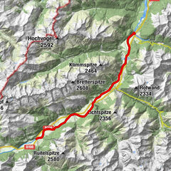
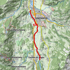
Dane wycieczki
5,9km
762
- 811m
57hm
98hm
02:00h
- Krótki opis
-
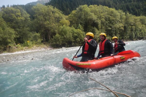
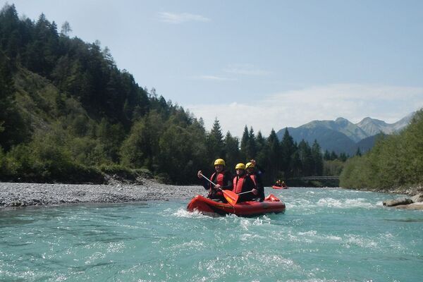
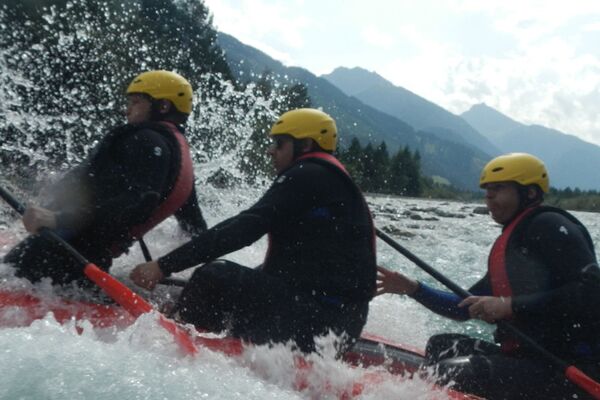
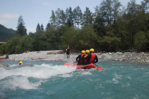
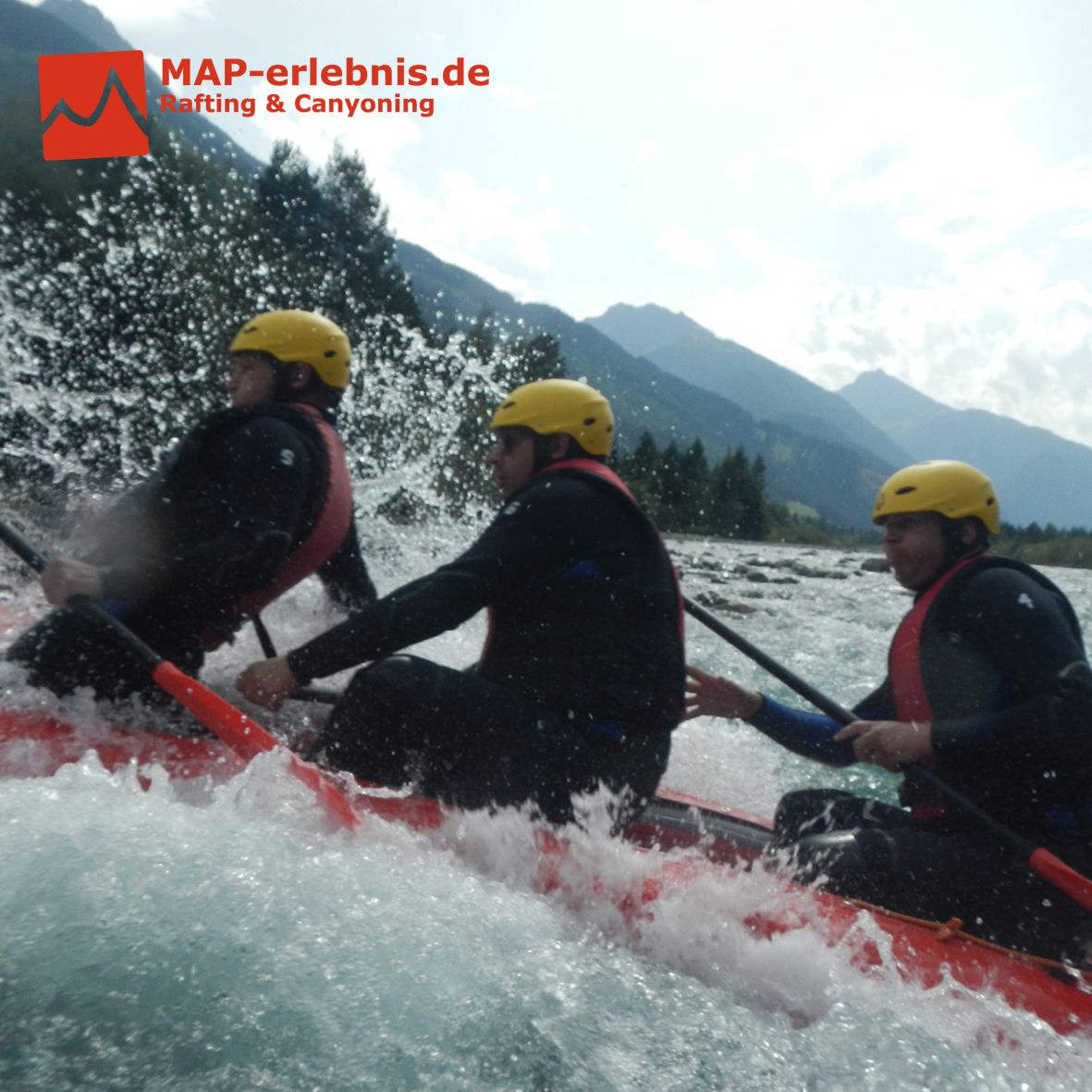
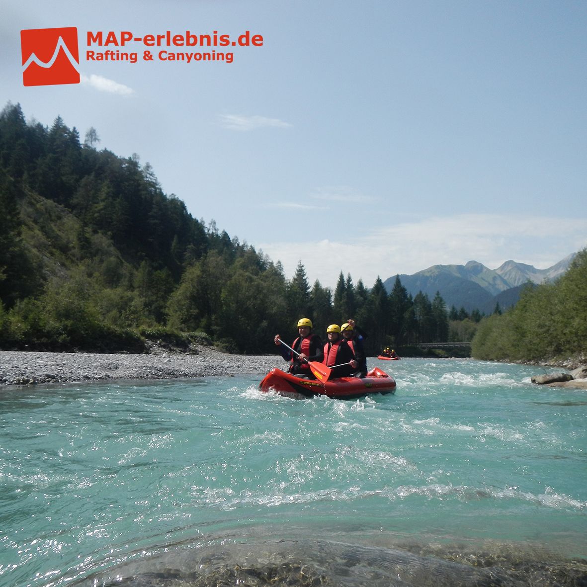
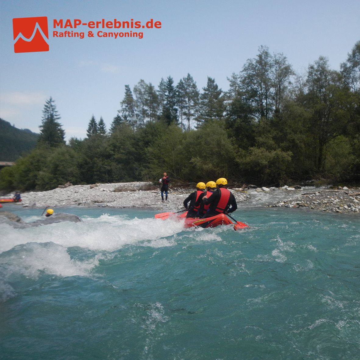
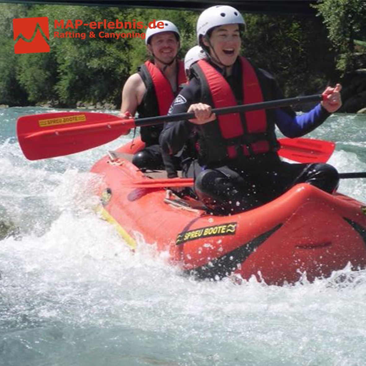
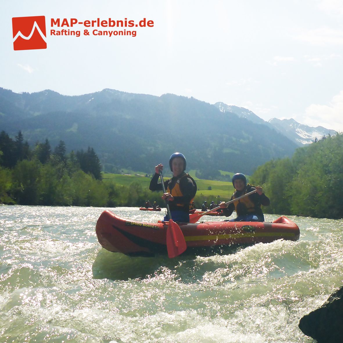
Untere Breitach mit Illerursprung
Rafting der Extraklasse im Allgäu auf der unteren Breitach und der Iller
Hast du Lust bekommen? Dann buche am Besten noch heute dein Rafting Erlebnis mit MAP-Erlebnis auf www.map-erlebnis.de
- Stopień trudności
-
średni
- Ocena
-
- Punkt wyjścia
-
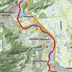
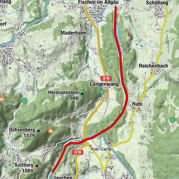
Ausgangspunkt die die MAP-Erlebnis Outdoor Station in Bihlerdorf. Einstieg zur Rafting Tour ist am Parkplatz der Breitachklamm in Tiefenbach
- Najlepszy sezon
-
stylutmarkwimajczelipsiewrzpaźlisgru
- Najwyższy punkt
- 811 m
- Miejsce docelowe
-
Zielpunkt ist der Wanderparkplatz in Fischen (kostenpflichtig mit 1€ für 3 Stunden)
- Odpoczynek/Odosobnienie
-
Restaurant "Zum Schiff" an der Outdoor Station von MAP-Erlebnis in Bihlerdorf
- Literatura
- Mapy

- Telefon informacyjny
-
0049 176 700 77777
- Link
- http://www.map-erlebnis.de/rafting-allgaeu/cana...
- Źródło
- Sebastian Drexler
GPS Downloads


Więcej wycieczek w regionach