© GaPa Tourismus - Bettina Plank

© GaPa Tourismus GmbH

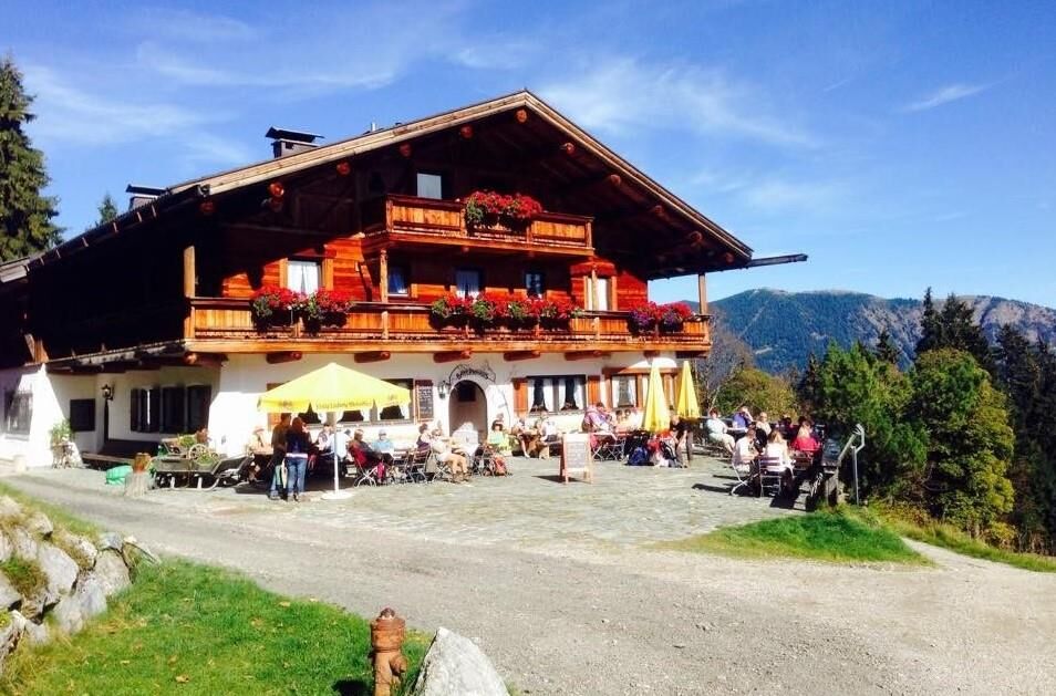
© Bayernhaus


- Krótki opis
-
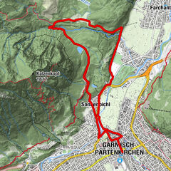
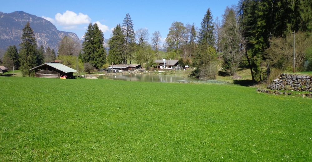
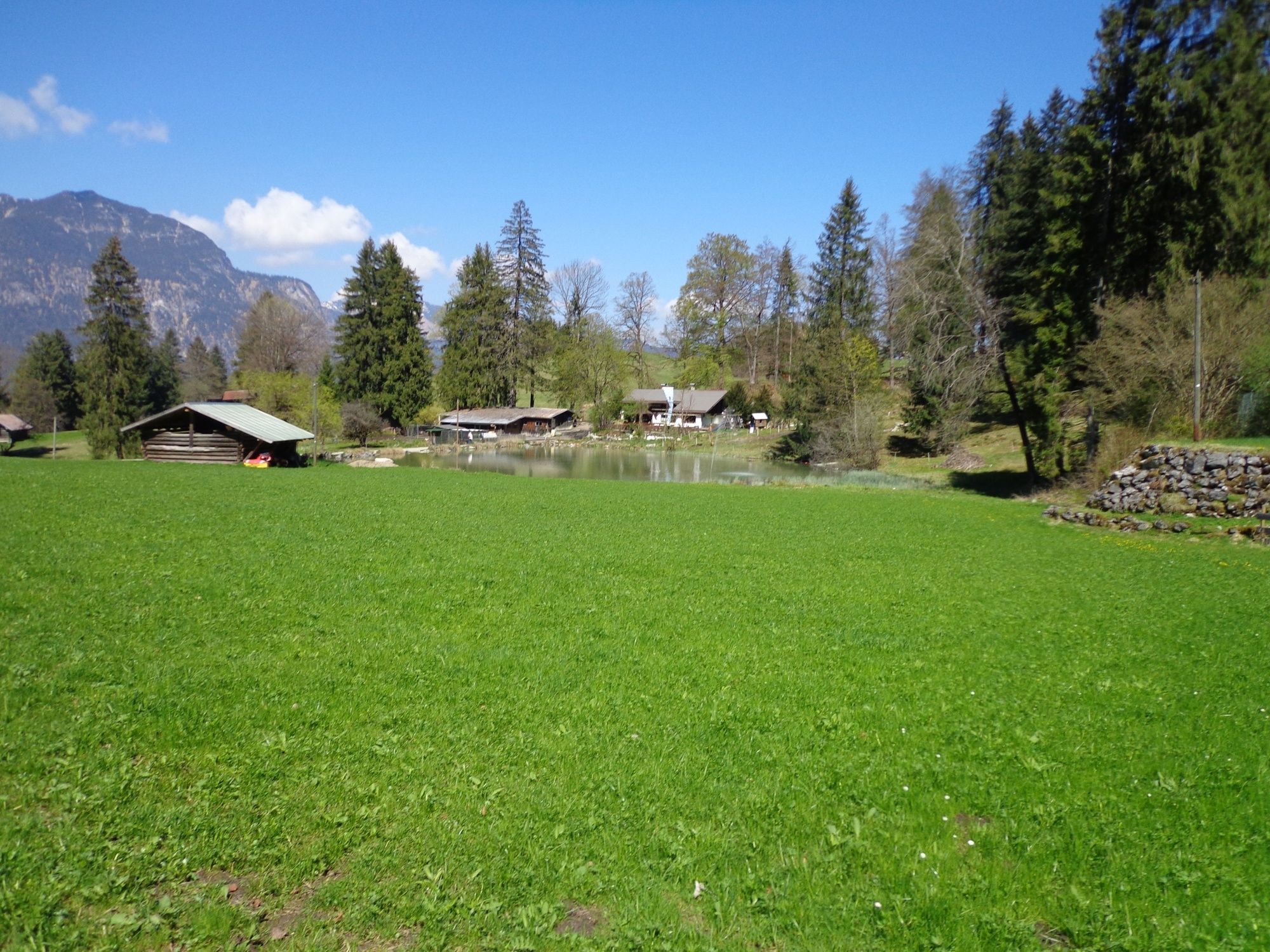
On a broad forest track, cycle up to Hausberg Mountain. This is an easy tour, but with some steep climbs. The way downhill also demands all your attention with a rapid, extremely steep and gravelly downhill track.
- Stopień trudności
-
średni
- Ocena
-
- Trasa
-
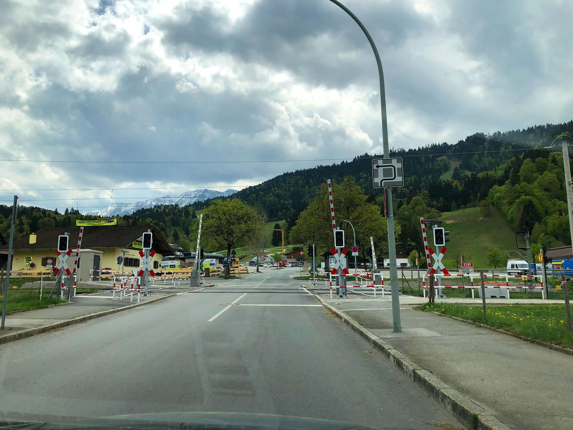
Garmisch-Partenkirchen (708 m)0,0 kmAule-Alm3,4 kmBoblift4,0 kmRießerkopf Haus (Toni Hütte)6,7 kmDrehmöser 912,8 kmKreuzwankl' Ski Express12,8 kmAGV Drehmöser Hutte13,4 kmBayernhaus13,6 kmHotel Restaurant Café Hausberg17,0 kmGarmisch-Partenkirchen (708 m)17,4 km
- Najlepszy sezon
-
stylutmarkwimajczelipsiewrzpaźlisgru
- Najwyższy punkt
- 1.356 m
- Miejsce docelowe
-
Parkplatz Hausbergbahn
- Profil wysokości
-
 © outdooractive.com
- Autor
-
Wycieczka To Garmisch Hausberg Mountain jest używany przez outdooractive.com pod warunkiem.
GPS Downloads


Informacje ogólne
Przystanek odświeżania
Obiecujący
Więcej wycieczek w regionach