Dane wycieczki
43,76km
782
- 1.429m
1.170hm
1.164hm
05:00h
- Krótki opis
-
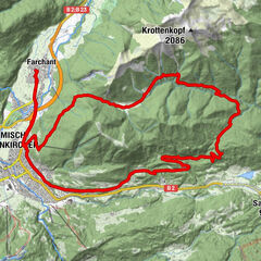
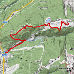
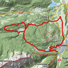
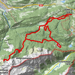
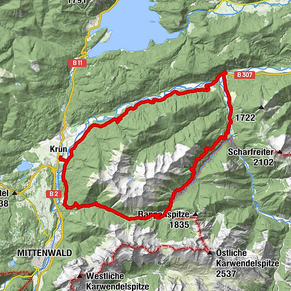
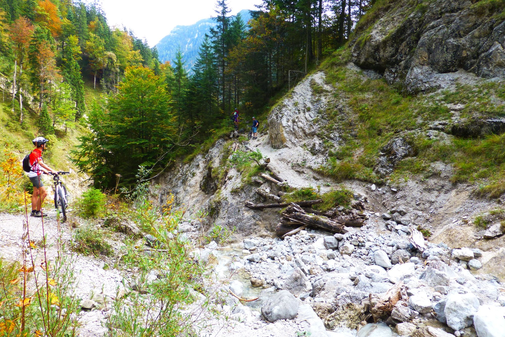
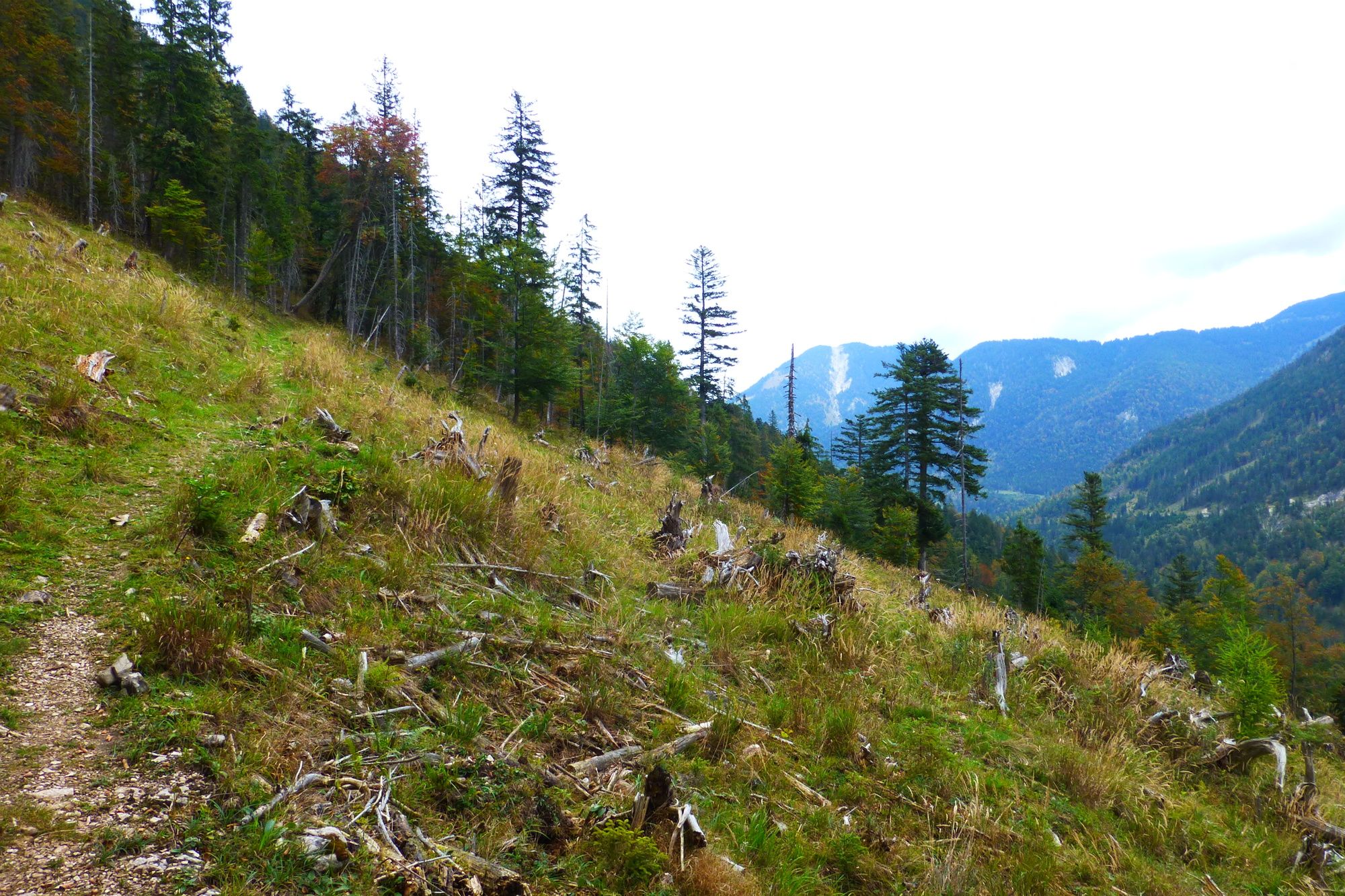
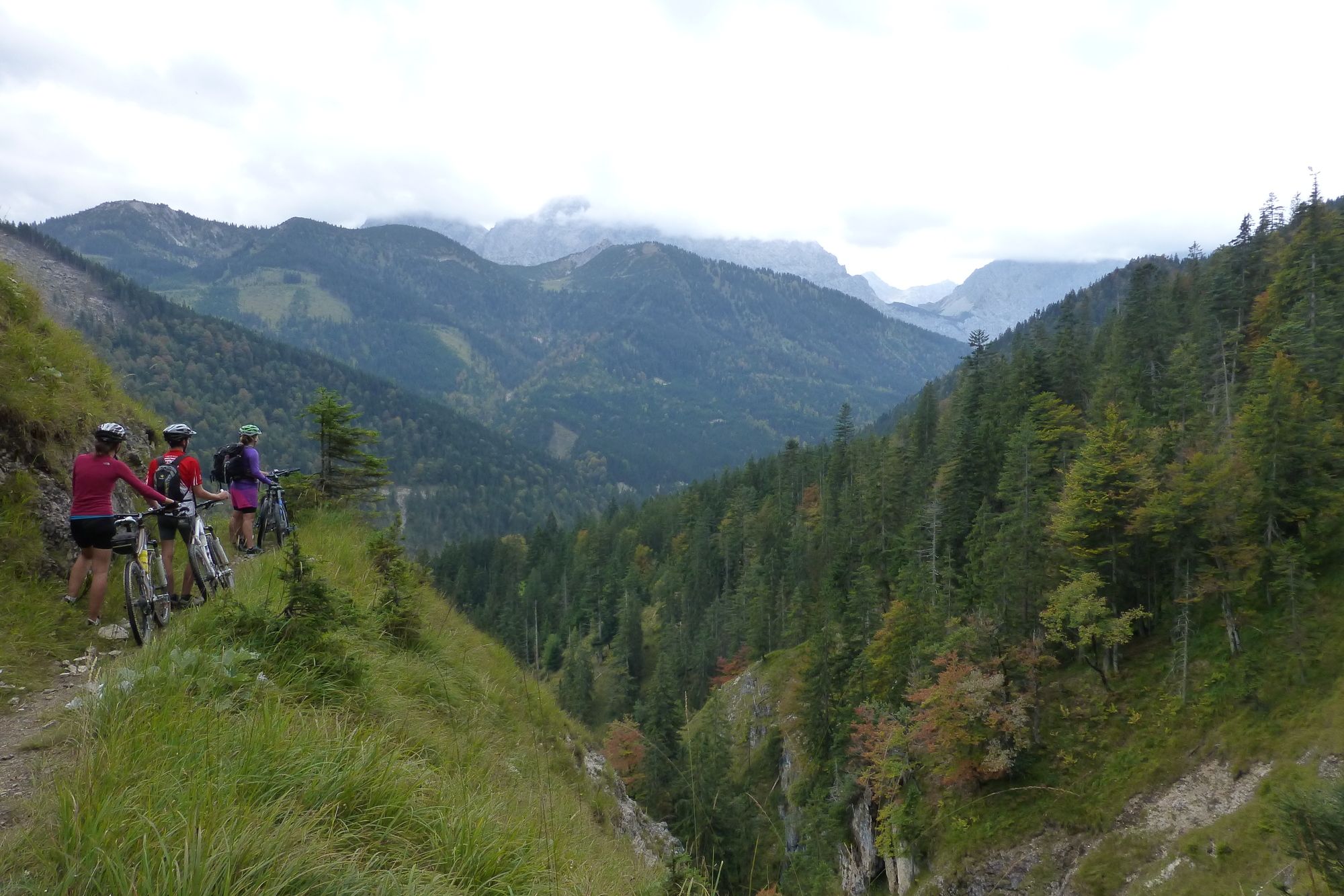
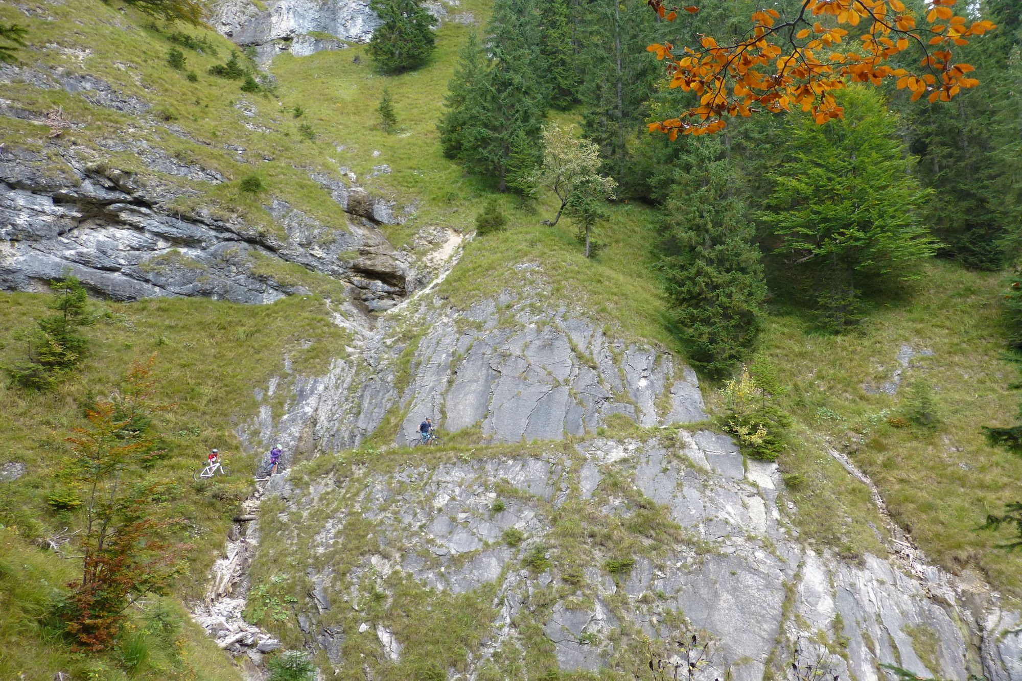
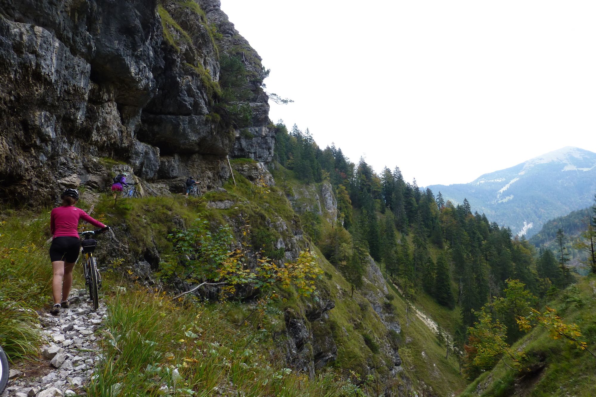
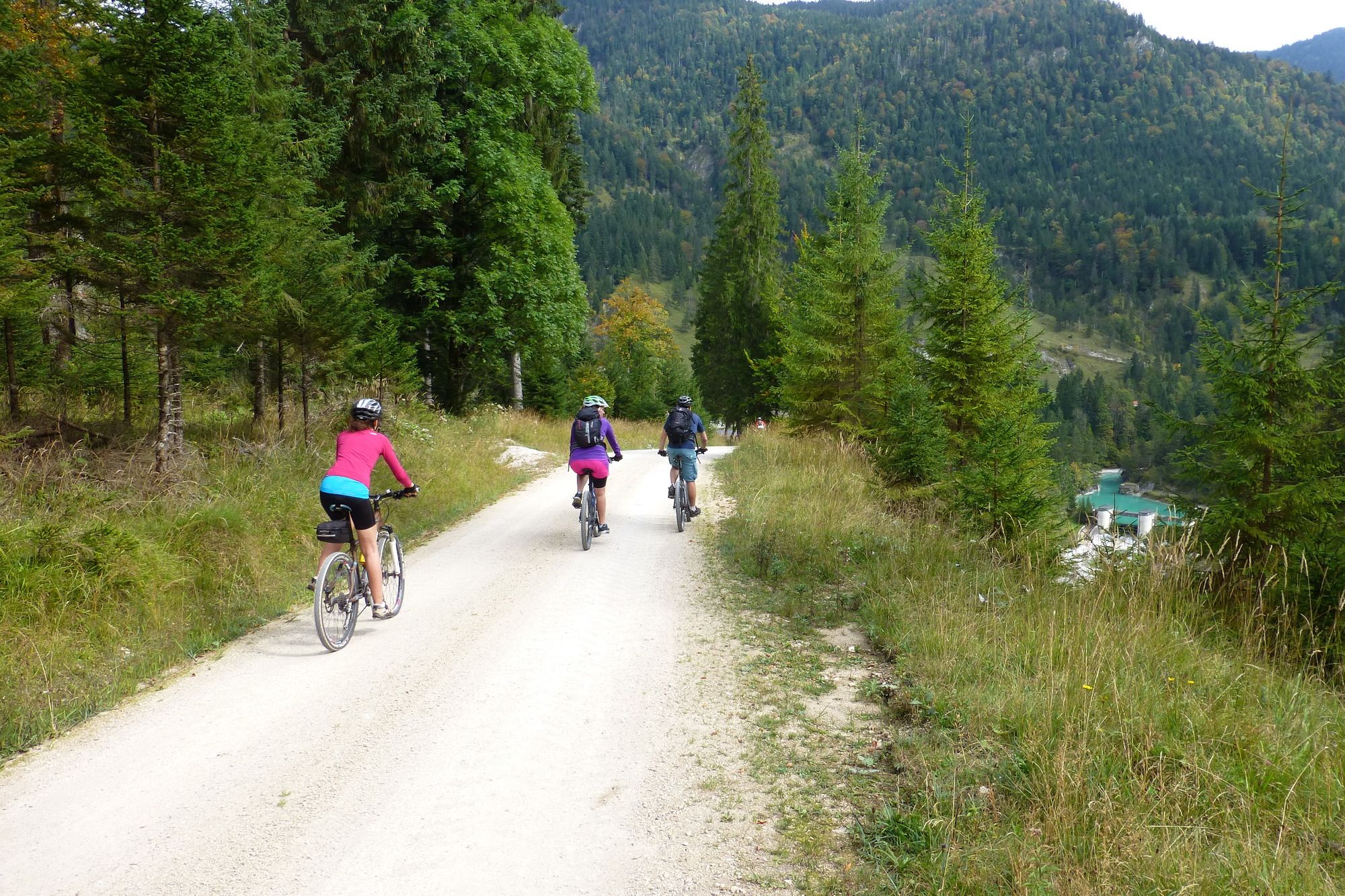
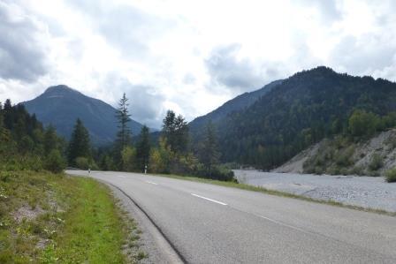
Rundtour um das Soierngebirge von Krün aus über die Vereiner- Brandel- und Paindl-Alm nach Vorderriß und wieder zurück
- Stopień trudności
-
ciężkie
- Ocena
-
- Punkt wyjścia
-
Hotel Alpenhof**** in Krün
- Trasa
-
KrünBrandelalm14,1 kmVorderriß26,9 kmGasthaus Post Vorderriß27,1 kmKrün43,5 km
- Najlepszy sezon
-
stylutmarkwimajczelipsiewrzpaźlisgru
- Najwyższy punkt
- 1.429 m
- Miejsce docelowe
-
Hotel Alpenhof**** in Krün
- Odpoczynek/Odosobnienie
-
Vereiner Alm (Ende Juni - Anfang Sept.); Gasthof Post, Vorderriß; Auhütte bei Wallgau (Öffnungszeiten beachten)
- Mapy
-
Topographische Karte 1:25000 Blatt 8434 Vorderriß


GPS Downloads


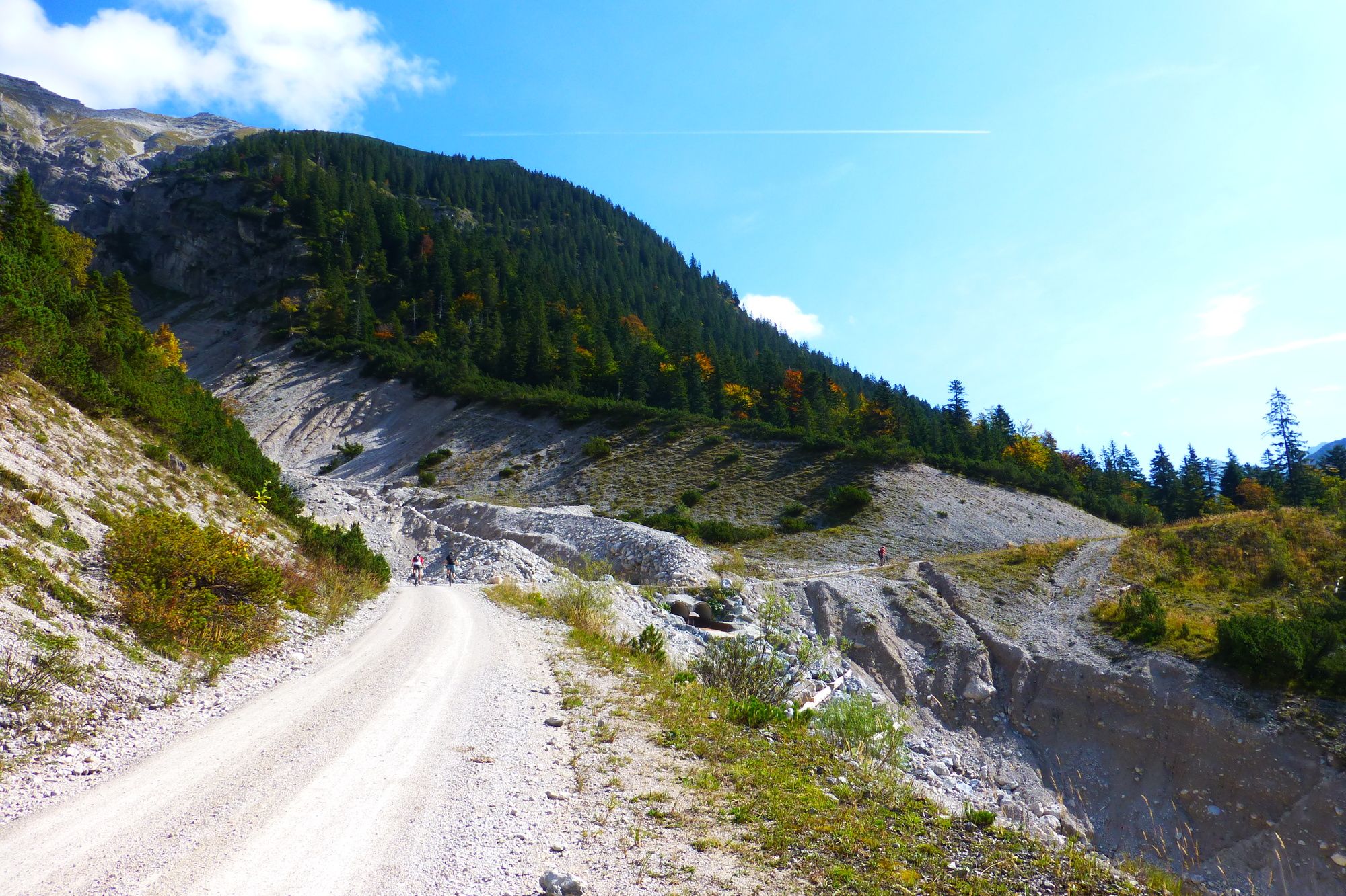
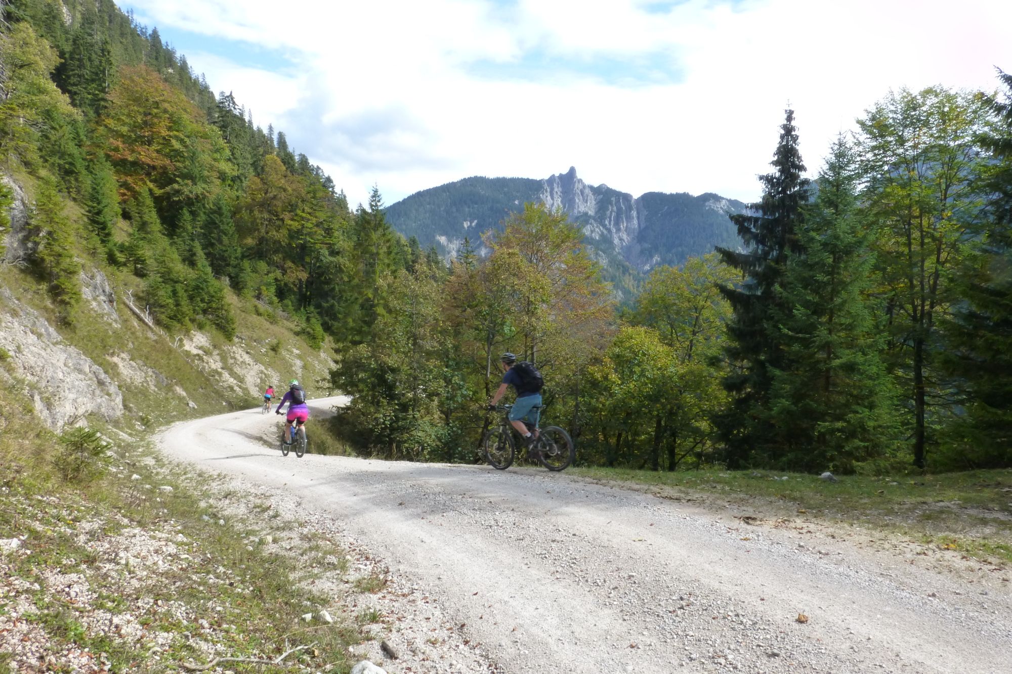
Pasy ruchu
Asfalt
Żwir
(41km)
Las
Szlaki górskie
(3km)
Wyprawy singletrails
Trial
Komunikacja
Więcej wycieczek w regionach
-
Alpenwelt Karwendel
303
-
Wallgau
43