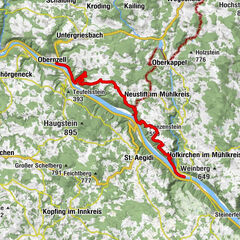
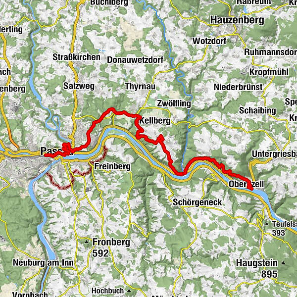
Donausteig Stage 1_N01 Passau - Obernzell „Through the Bavarian valley into the Danube Valley"


© WGD Donau Oberösterreich Tourismus GmbH/Weissenbrunner
© WGD Donau Oberösterreich Tourismus GmbH/Kranzmayr - Andreas Kranzmayr

© WGD Donau Oberösterreich Tourismus GmbH/Weissenbrunner

© WGD Donau Oberösterreich Tourismus GmbH/Andreas Kranzmayr - Andreas Kranzmayr

© Donauregion

© Donauregion

- Krótki opis
-
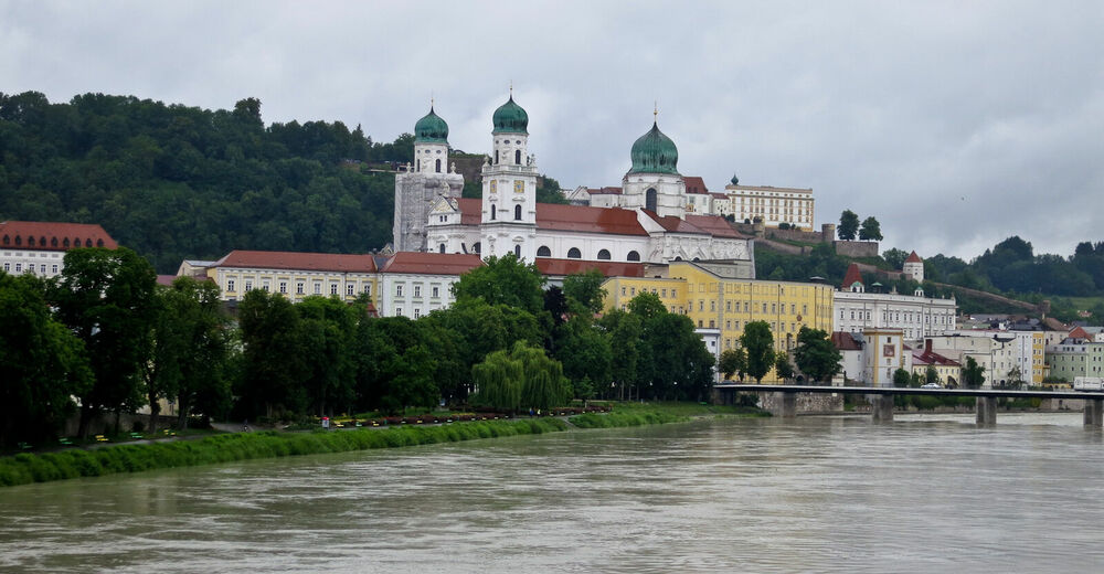
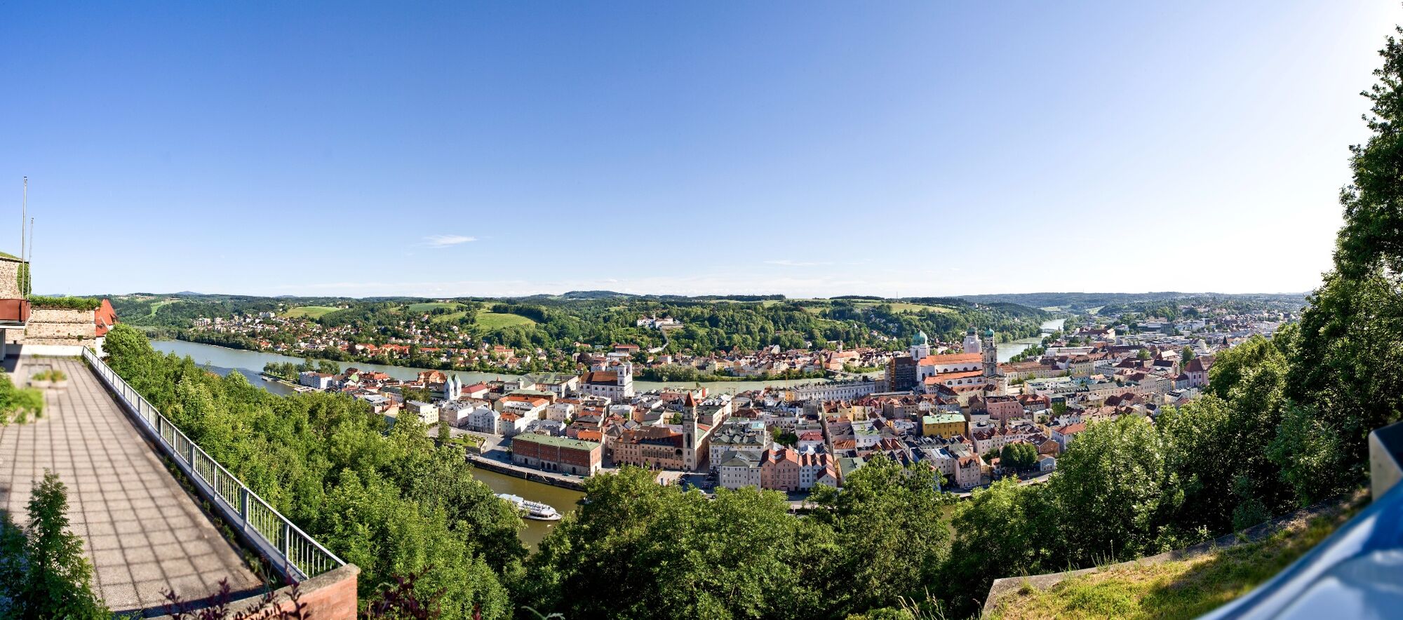
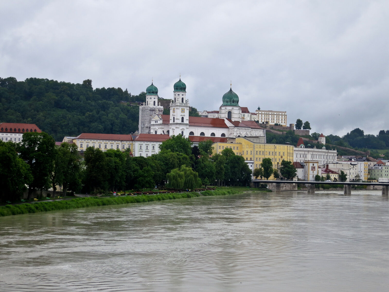
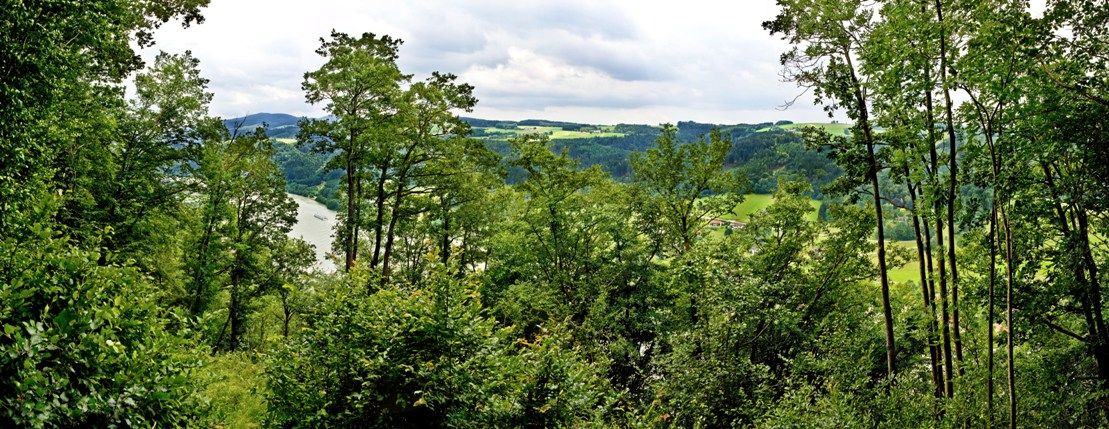
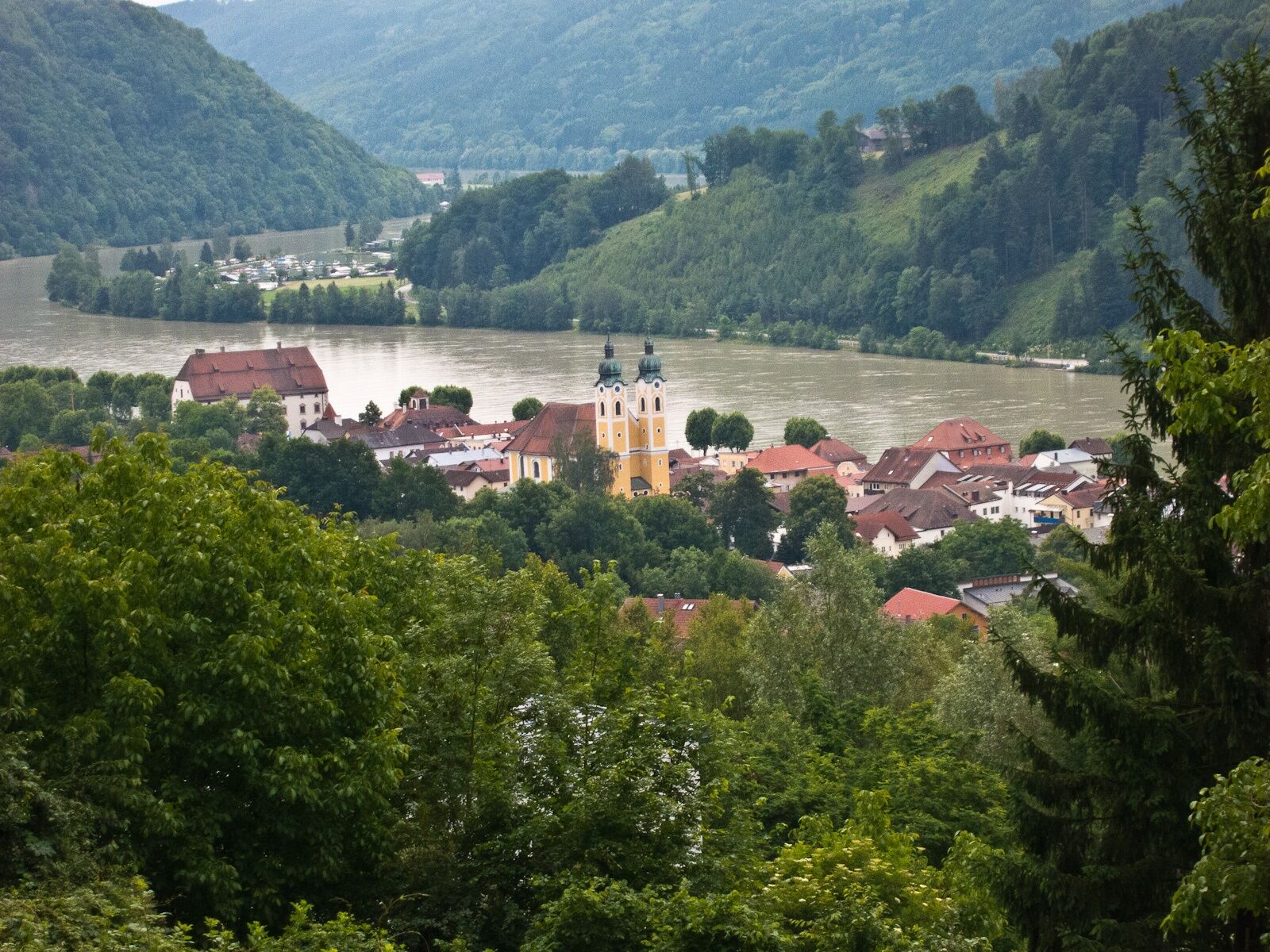
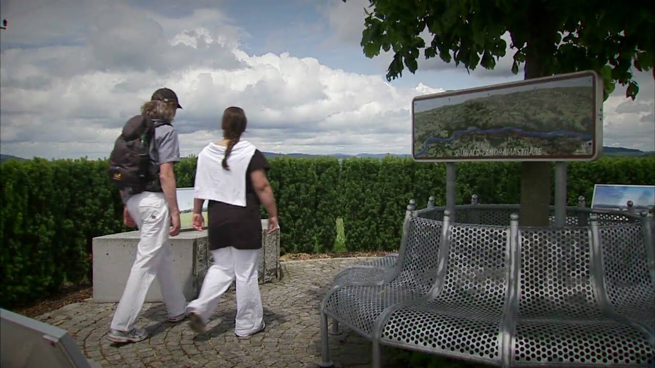
Donausteig-simply fabulous! This stage leads us from the tri-river city of Passau first across the high plateau of the Bavarian Forest, then through the original forest flank of the Donauleiten to Obernzell on the Danube. We discover Passau the Bavarian Venice, the mother church of the Eastern-danube, the Golden (salt) climb, the beauty of Bavaria, the natural jewel of the Donauleiten, the danube jewel Obernzell...
- Stopień trudności
-
ciężkie
- Ocena
-
- Trasa
-
Votivkirche0,6 kmPassau (312 m)0,8 kmSpitalkirche "St. Johann"0,9 kmPfarrkirche Sankt Paul0,9 kmAltstadt1,2 kmWetterpilz2,4 kmIlzstadt4,0 kmJägerhof4,5 kmZieglreuth8,2 kmWitzmannsberg8,4 kmZwecking10,3 kmObersatzbach10,4 kmGrafmühle11,0 kmBuchsee12,3 kmDonaublick13,3 kmHochstein, Donaublick13,3 kmWingersdorf15,3 kmGaststätte zur König-Max-Höhe15,4 kmMaxhöhe15,5 kmLeithen16,6 kmSchörgendorf17,1 kmEdlhof18,7 kmErlau19,8 kmHaar21,7 kmMaria Himmelfahrt26,6 kmObernzell26,6 km
- Najlepszy sezon
-
stylutmarkwimajczelipsiewrzpaźlisgru
- Najwyższy punkt
- 518 m
- Miejsce docelowe
-
Obernzell - the Donausteig "Obernzell" is located on the promenade at the same height of Castle Obernzell.
- Profil wysokości
-
 © outdooractive.com
- Autor
-
Wycieczka Donausteig Stage 1_N01 Passau - Obernzell „Through the Bavarian valley into the Danube Valley" jest używany przez outdooractive.com pod warunkiem.
GPS Downloads


Informacje ogólne
Przystanek odświeżania
Kulturalny/Historyczny
Obiecujący
Więcej wycieczek w regionach
-
Passauer Land
160
-
Freinberg
50