


- Krótki opis
-
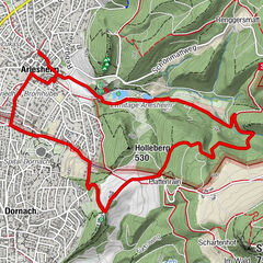
Die Wanderung führt vom Liestaler Altmarkt über den Galms und die Landschachen ins Gebiet der Huppergruben.
- Trasa
-
Liestal (327 m)Lausen6,5 km
- Najwyższy punkt
- 546 m
- Miejsce docelowe
-
Lausen Bahnhof
- Profil wysokości
-
 © outdooractive.com

- Autor
-
Wycieczka BLKB-Wanderung Galms- Huppergruben jest używany przez outdooractive.com pod warunkiem.
GPS Downloads


Więcej wycieczek w regionach
-
Solothurn und Region
1453
-
Fünflibertal
935
-
Lausen BL
346