© Community - Dorle
© Traumwanderungen.de - Wolfgang Brendel
© Community - Dorle
© Community - Dorle
© Community - Dorle
© Community - Dorle
© Community - Dorle
© Community - Paul Lederstiefel
© Community - Nina Neumann
© Community - Nina Neumann

- Krótki opis
-
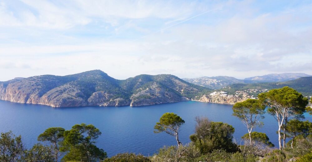
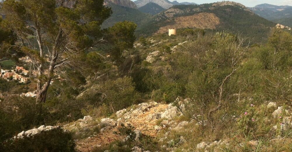
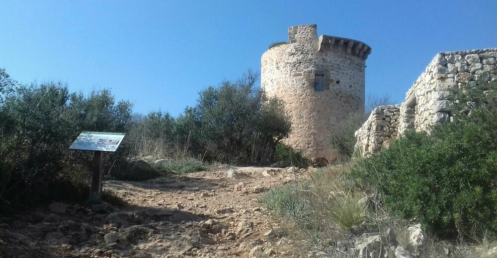
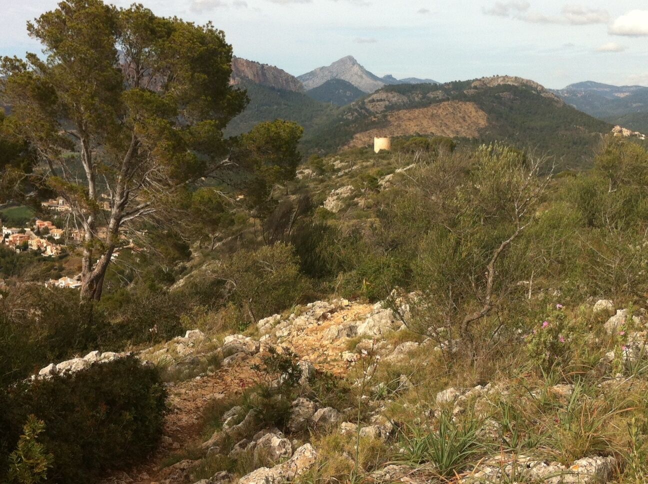
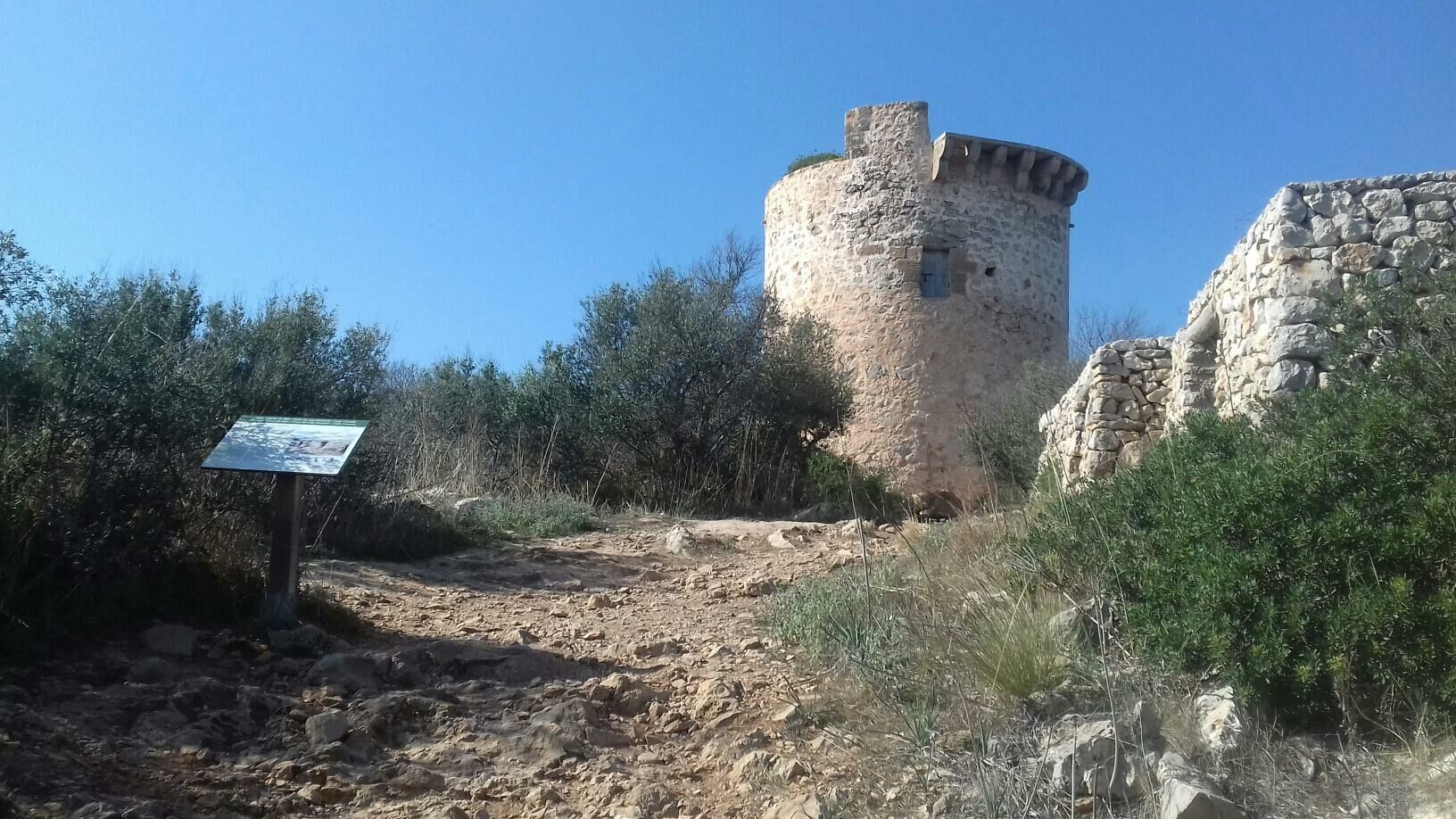
Vorbei an einem alten Kalkbrennofen, schlängelt sich unser Weg bergauf, um an einem Zaun scharf nach links zum Torre abzubiegen. Die wichtigste Funktion des Turms war der Ausguck nach Piraten und das Weitergeben von Feuersignalen an andere Türme.
- Stopień trudności
-
łatwe
- Ocena
-
- Trasa
-
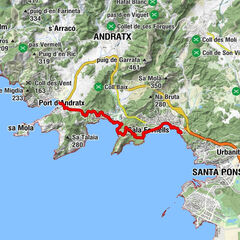
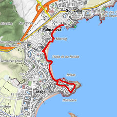
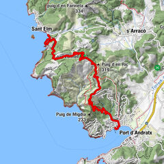
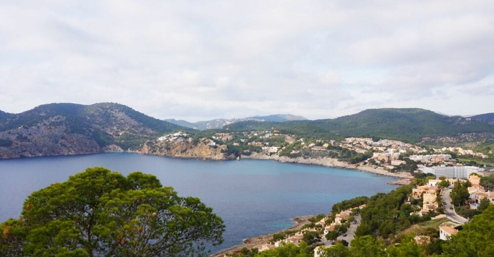
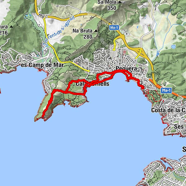
Peguera (11 m)0,9 kmCala Fornells2,3 kmCap Andritxol4,8 kmCala Fornells7,4 kmPeguera (11 m)8,7 km
- Najlepszy sezon
-
stylutmarkwimajczelipsiewrzpaźlisgru
- Najwyższy punkt
- 161 m
- Miejsce docelowe
-
Torre Cap Andritxol
- Profil wysokości
-
 © outdooractive.com


-

-
AutorWycieczka Torre auf Cap Andritxol jest używany przez outdooractive.com pod warunkiem.
GPS Downloads


Informacje ogólne
Obiecujący