© Westlicher Bodensee - Albrecht Loeble

© Westlicher Bodensee - Albrecht Loeble

© Westlicher Bodensee - Albrecht Loeble

© Westlicher Bodensee - Albrecht Loeble

© Westlicher Bodensee - Albrecht Loeble

© Westlicher Bodensee - Albrecht Loeble

© Westlicher Bodensee - Albrecht Loeble

© Westlicher Bodensee - Albrecht Loeble

© Westlicher Bodensee - Albrecht Loeble
- Krótki opis
-
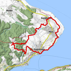
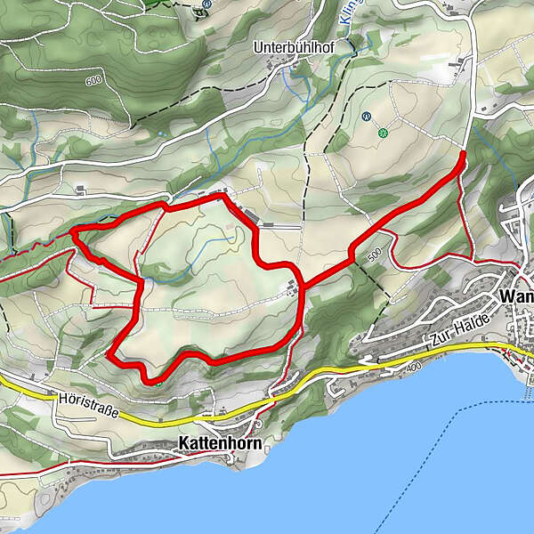
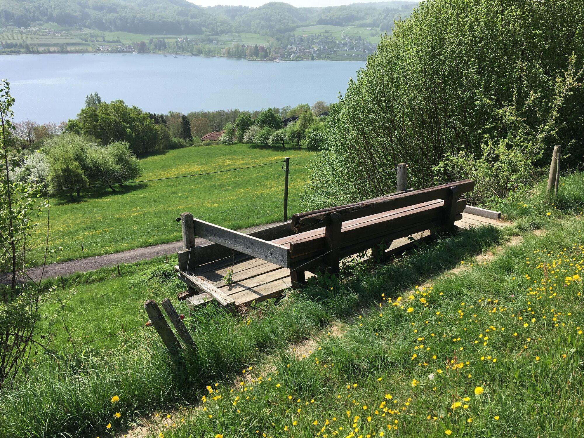
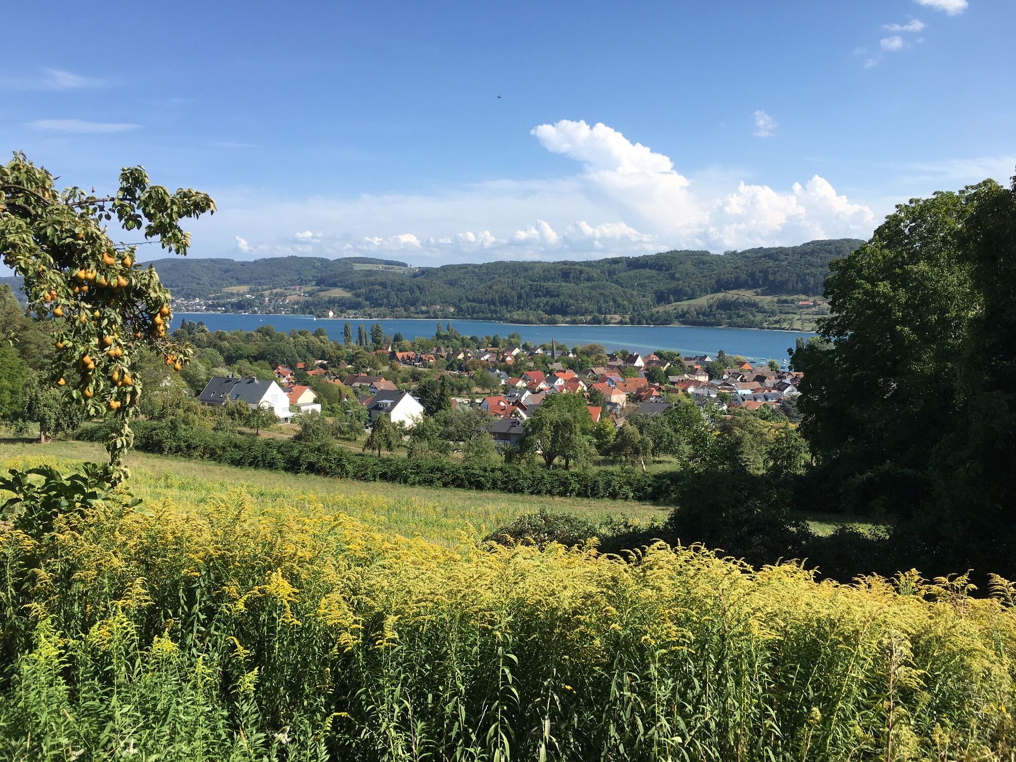
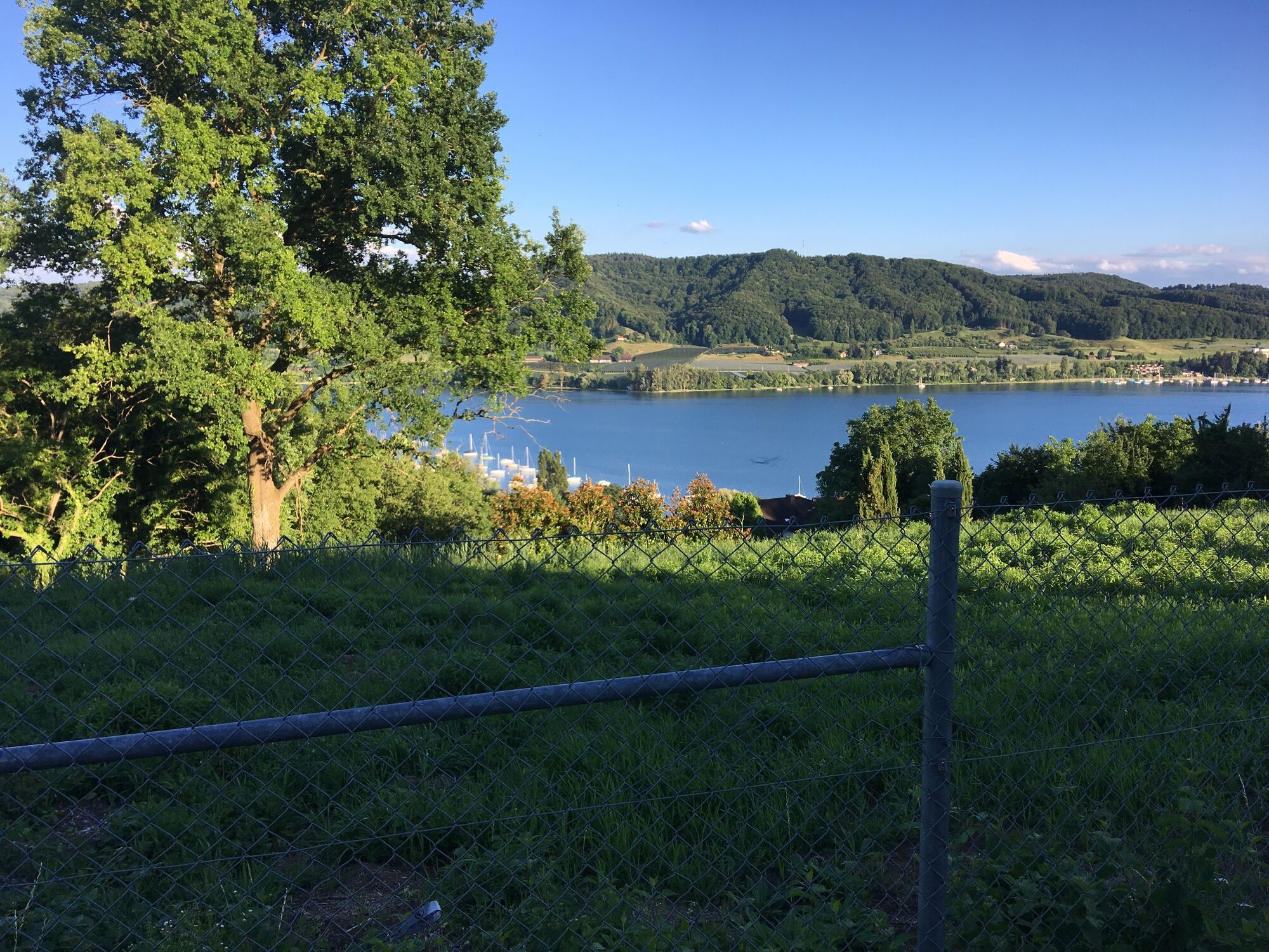
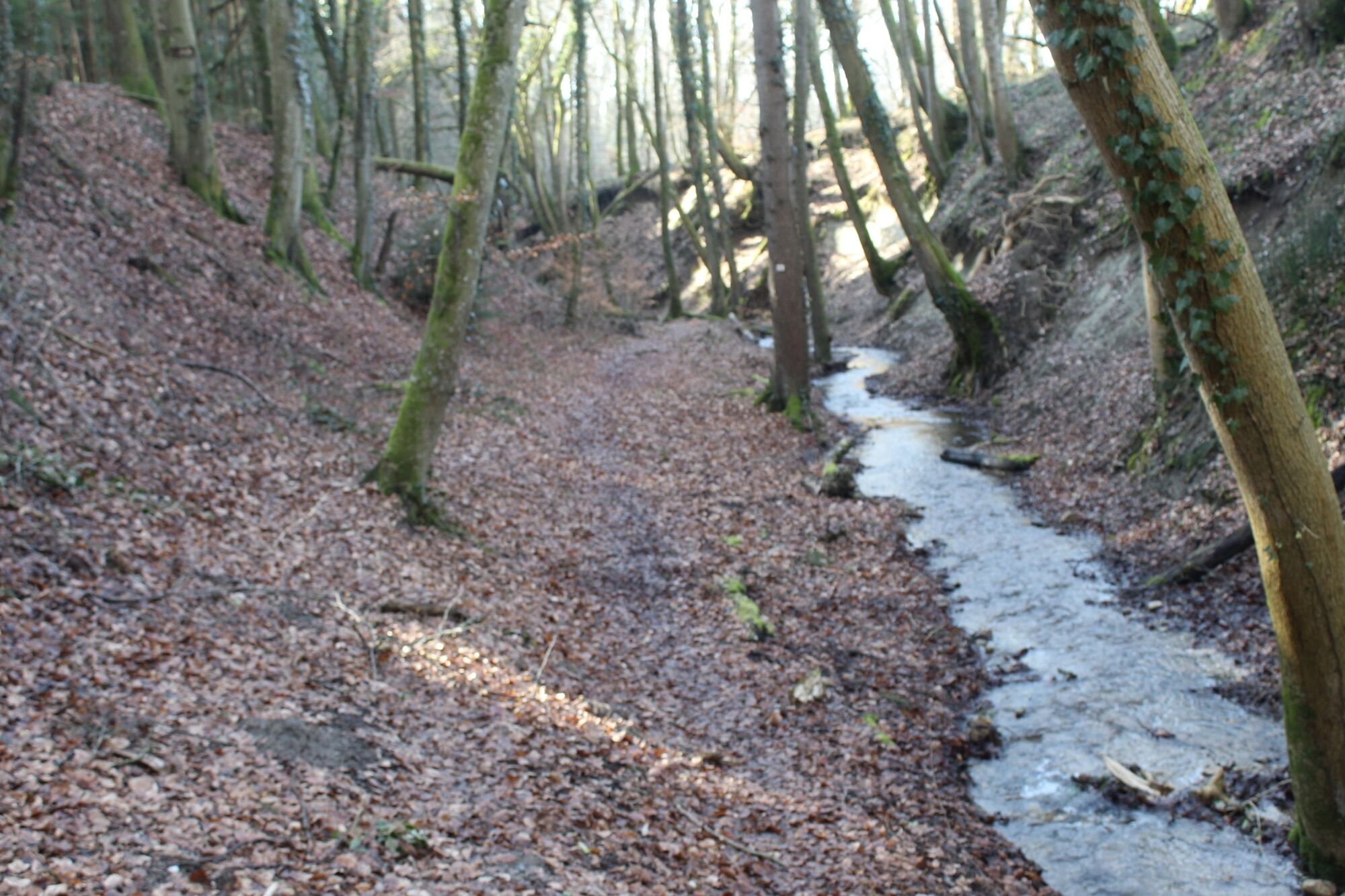
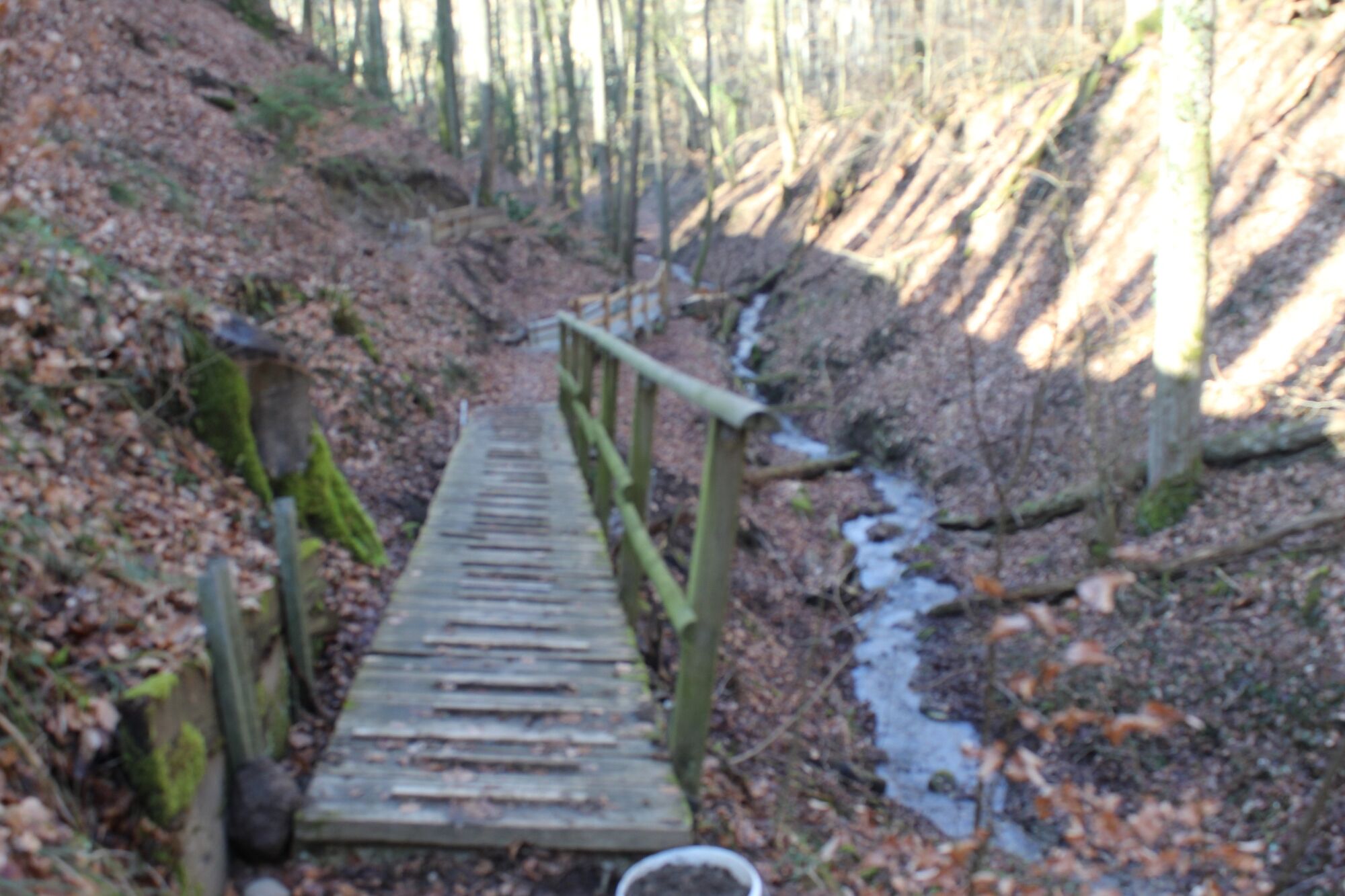
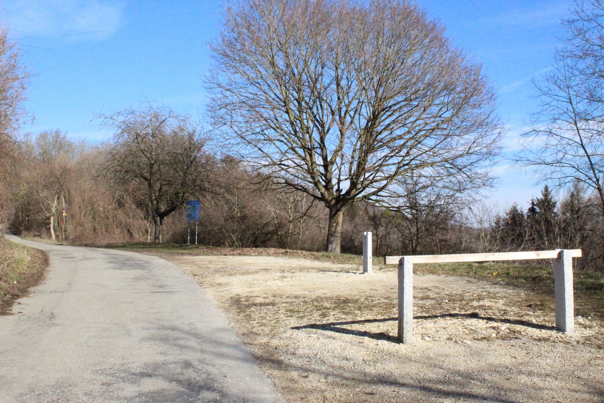
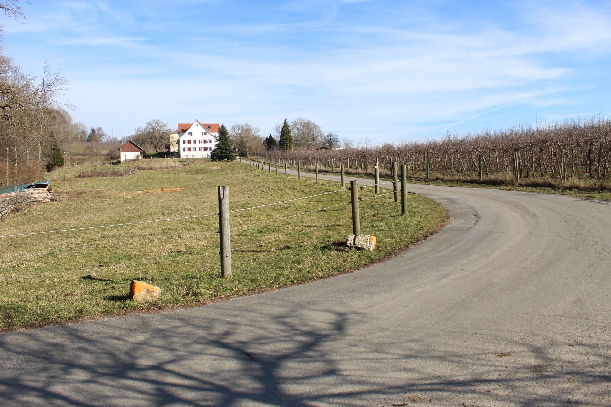
Wanderung über den Kattenhorner Bühl mit Aussichten auf den Untersee und druch die Klingenbachschlucht.
- Stopień trudności
-
łatwe
- Ocena
-
- Trasa
-
Kattenhorn1,6 km
- Najlepszy sezon
-
stylutmarkwimajczelipsiewrzpaźlisgru
- Najwyższy punkt
- 528 m
- Miejsce docelowe
-
Öhningen Parkplatz Zielhag
- Profil wysokości
-
 © outdooractive.com


- Autor
-
Wycieczka Kattenhornerbühl, Klingenbachschlucht jest używany przez outdooractive.com pod warunkiem.
GPS Downloads


Więcej wycieczek w regionach
-
SchaffhauserLand
1027
-
Stein am Rhein
521
-
Öhningen
156