


Beuron Jakobusweg - Stage 1 - from Hechingen to Balingen
Hechingen:
former Hohenzollern residence townCollegiate Church St. Jakob: statue and mural of St. Jakobus (stamp point)Hohenzollern State Museum in the “Old Castle”former synagogueVilla Eugeniaformer Franciscan...Hechingen:
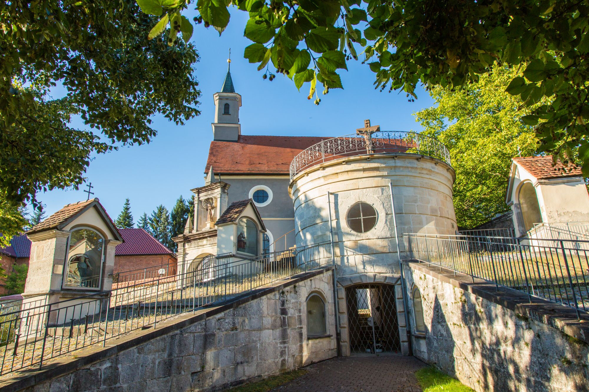
former Hohenzollern residence townCollegiate Church St. Jakob: statue and mural of St. Jakobus (stamp point)Hohenzollern State Museum in the “Old Castle”former synagogueVilla Eugeniaformer Franciscan Monastery St. Luzen: Renaissance monastery church with Stations of the Cross and Calvary (stamp point)pilgrimage siteaccommodation availableBisingen:
Hohenzollern Castle: ancestral seat of the Hohenzollernconcentration camp memorial cemeteryMemorial trail and museum of the campaign “Wüste”Balingen:
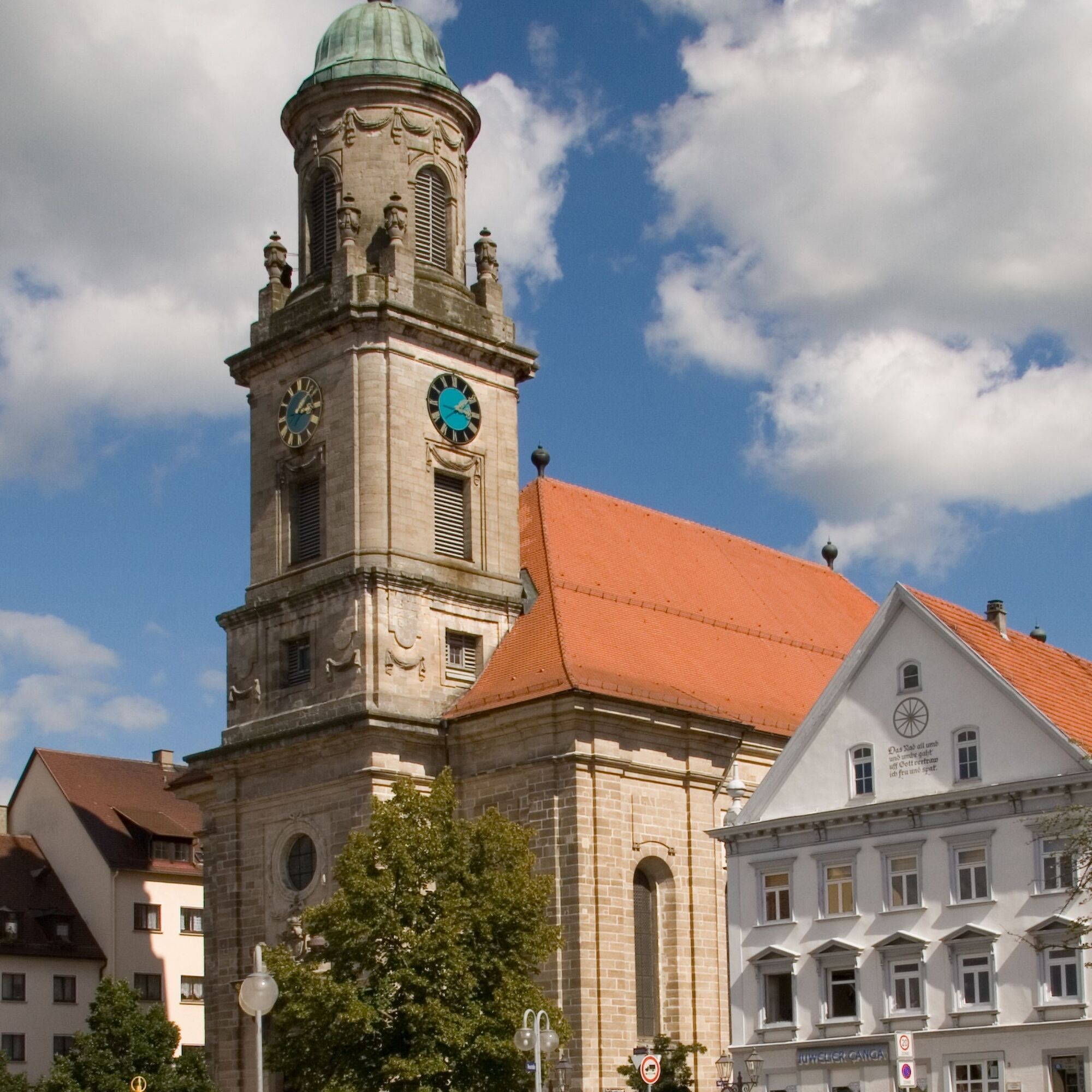
Protestant city church: Jakobus sculpture on the gallery (around 1516) (stamp point)Protestant cemetery churchZollern castle with scale and weight museumlocal history museum Zehntscheuer
Stage Hechingen – Balingen (17 kilometers):
From Hechingen, start at the Collegiate Church St. Jakob heading south towards Obertorplatz, then at the end slightly right into Zollerstraße and turn right at the Johanneskirche into Fürstengarten. In a left curve, pass by Villa Eugenia, then leave the park through a beautiful lime tree avenue. The path now leads along the gardens of a residential area, continuing straight on paved lanes, then left along railway tracks. You cross Bisinger Straße and change the track side after 100 meters. Pass by Zollern station, built in 1874 in neo-Gothic style. Follow Tübinger Straße, go under B 27 and shortly after under the railway line.
You walk along Dorfstraße through Bisingen-Wessingen, at the end of the village slightly left uphill into Taläcker street. The macadam lane leads over an open plateau with splendid views of the Alb edge and Hohenzollern Castle to Bisingen.
In a left bend, go gently downhill into a small forest. After a few meters, you reach the site of the former oil shale mining; the mining edge is visible in the bushes on the left.
Follow the historical trail “Mining Edge” and then keep right at the sports fields. The historical trail continues left after a few meters. The Jakobusweg leads uphill to Bisingen, turning left into Reutestraße at the first houses, continuing through Reutestraße, Irisweg and Altenweg, crossing the tracks at the station’s level and following Bahnhofstraße to the right.
Follow the footpath parallel to the railway bridge. Turn left at the school center, right after the cemetery, straight at the crossroad.
You are back in open countryside and can enjoy the fantastic view. At a crossroads, turn left towards the Seerosengarten and follow the macadam path to the forest edge, at the fork turn right towards Engstlatt, passing the Alpine and Water Lily Gardens. Continue through Grafental and before the first houses of Balingen-Engstlatt turn sharply left. After 200 meters, a Kneipp facility offers refreshment for tired feet. The path leads past the facility to the right and immediately left through the woods. Then right uphill on the meadow slope, on a macadam path to a small forest. Along a gravel path along the forest edge, then in the forest the macadam path goes left downhill.
At the roundabout, keep left and follow the bike path to Balingen, first going under the country road to the right, then under B 27, turn left after 100 meters, passing the sports ground.
At the Austuben guesthouse, turn right into Wöhrtstraße and go straight along the cemetery. At the level of the cemetery church, take the footpath half-right along the Eyach, which flows into Eyachstraße. Follow this to the right, then left over a bridge into Färberstraße and through the pedestrian zone up to the St. Nikolaus City Church.
Stamp points: St. Nikolaus City Church, Tourist Information Office Town Hall, Caritas Jakobushaus (Alte Balingerstraße 41) (Balingen)
Tak
Good footwear is recommended.
Sturdy footwear is recommended.
By car via B27 or A81 to Hechingen. The Collegiate and Parish Church St. Jakobus is located in the center of Hechingen’s upper town, about 150 m from the town hall and the newly designed Obertorplatz.
By train from Stuttgart/Tübingen and Sigmaringen to Hechingen
Stamp points for the pilgrim passport are located in Hechingen (former Franciscan Monastery St. Luzen, Collegiate Church St. Jakobus, Monastery Church St. Johannes der Täufer (Hechingen-Stetten)) and Balingen (St. Nikolaus City Church, Tourist Information Office Town Hall, Caritas Jakobushaus (Alte Balingerstraße 41)).
Popularne wycieczki w okolicy
-
4,8
Onstmettingen - Heiligenkopf - Zeller Horn - Raichberg
średniWędrówka 15,7 km -
5,0
Rund um Hohenzollern
światłoWędrówka 12,9 km -
5,0
Mildersbach-Rundweg in Balingen-Ostdorf
średniWędrówka 9,85 km -
5,0
Heideweg route in Hechingen
światłoWędrówka 5,57 km -
4,5
Raichberg route in Hechingen
ciężkiWędrówka 11,2 km -
5,0
Dreifürstenstein-Hirschkopf-Runde in Burladingen
światłoWędrówka 10,1 km -
4,0
HochAlbPfad Tieringer Hörnle in Meßstetten
średniWędrówka 10,6 km -
5,0
Plettenberg Trailrun Halbmarathon
ciężkiWędrówka 20,8 km -
5,0
Plettenbergsteig in Dotternhausen
średniWędrówka 9,68 km -
4,0
Kirchenköpfle route in Hechingen
średniWędrówka 9,78 km
Wędrówki i tropienie


Nie przegap ofert i inspiracji na następne wakacje
Twój adres e-mail została dodana do listy mailingowej.