© Oberschwaben Tourismus GmbH - Frank Müller

© Oberschwaben Tourismus GmbH - Florian Trykowski

© Oberschwaben Tourismus GmbH - Frank Müller

© Oberschwaben Tourismus GmbH - Florian Trykowski

- Krótki opis
-
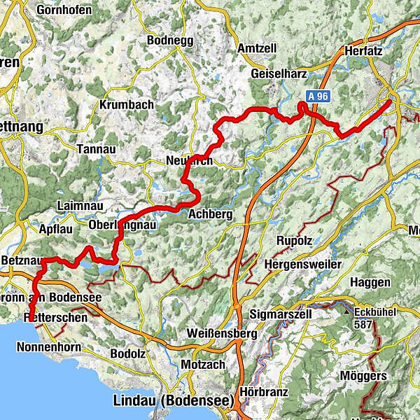
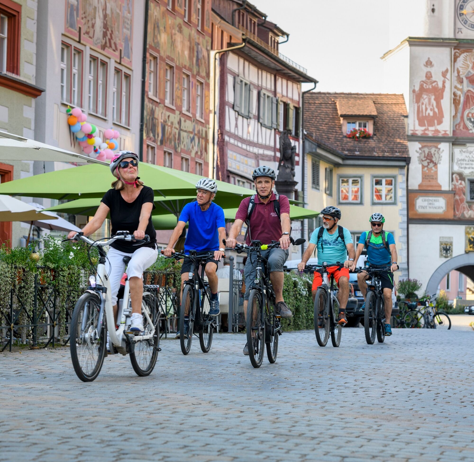
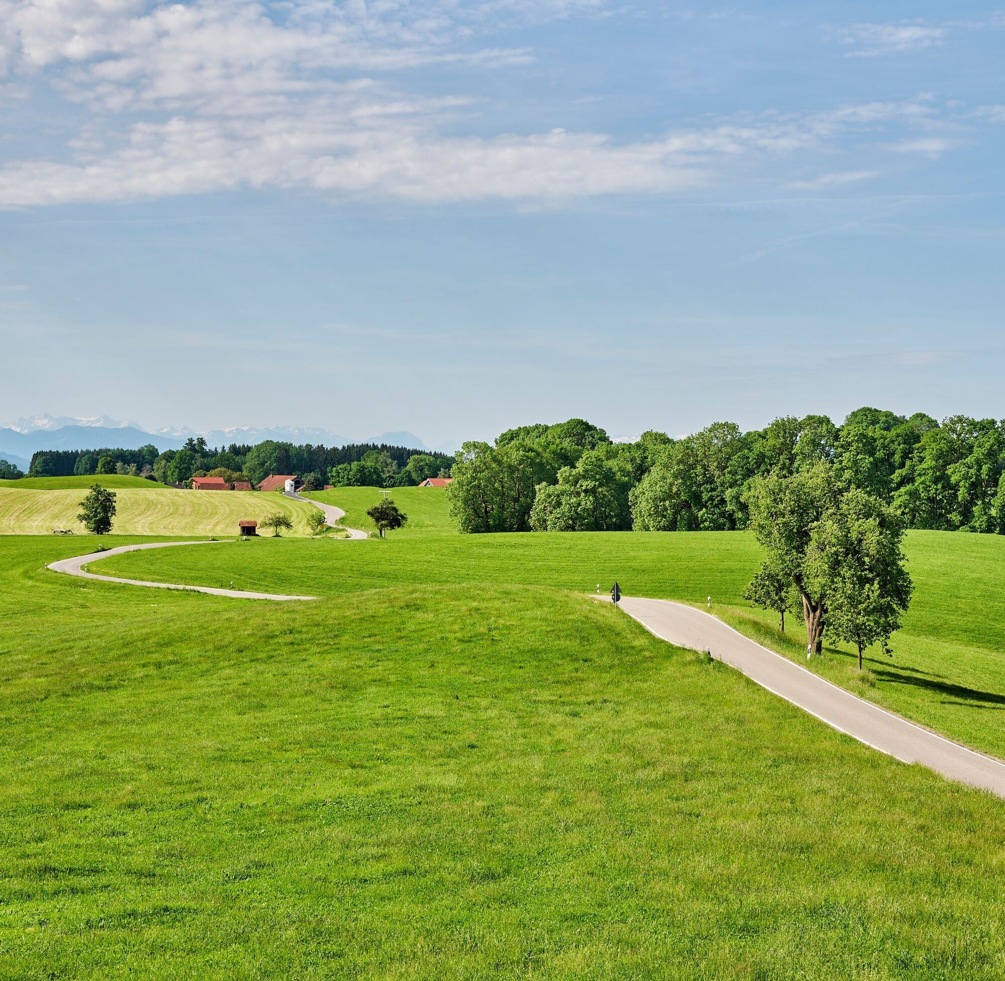
Exhilarating descent to Lake Constance.
The final stage of the trip is dominated by the magnificent Alpine panorama. There are several more hills to climb before we can finally savour the last downhill run to Lake Constance.
- Trasa
-
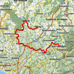
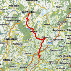
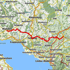
AltstadtWangen im Allgäu (556 m)Auwiesen0,7 kmLottenmühle2,2 kmNiederwangen3,4 kmPfarrkirche St. Andreas3,5 kmKnobel4,0 kmEttensweiler6,1 kmHochbühl7,1 kmKernaten8,0 kmSchomburg8,6 kmRuhe-Christi-Kapelle8,9 kmHaslach10,5 kmPfarrkirche Sankt Stephanus Haslach10,5 kmKleber10,5 kmHaslachmühle11,1 kmLitzelmannshof11,3 kmGunzenweiler12,8 kmMehetsweiler13,9 kmSt. Maria15,2 kmNeukirch15,4 kmOberlangensee17,2 kmSummerau18,8 kmSteinenbach20,4 kmOberlangnau21,9 kmPfarrkirche St. Dionysius22,7 kmHiltensweiler22,8 kmOberwolfertsweiler23,4 kmDegersee24,1 kmDegerseestube24,2 kmBusenhaus24,9 kmWielandsweiler25,9 kmGasthaus Traube26,0 kmSchleinsee26,8 kmGasthaus Seerose27,2 kmNitzenweiler27,4 kmBerg29,7 kmKressbronn am Bodensee31,5 kmKressbronn31,6 km
- Najlepszy sezon
-
stylutmarkwimajczelipsiewrzpaźlisgru
- Najwyższy punkt
- 578 m
- Miejsce docelowe
-
Kressbronn
- Profil wysokości
-
 © outdooractive.com

- Autor
-
Wycieczka Danube-Lake Constance Route - 4th leg jest używany przez outdooractive.com pod warunkiem.
GPS Downloads


Informacje ogólne
Przystanek odświeżania
Kulturalny/Historyczny
Obiecujący
Więcej wycieczek w regionach