

© N.Quesney_HautBugeyTourisme

© Claude Perrier

© Claude Perrier

- Krótki opis
-
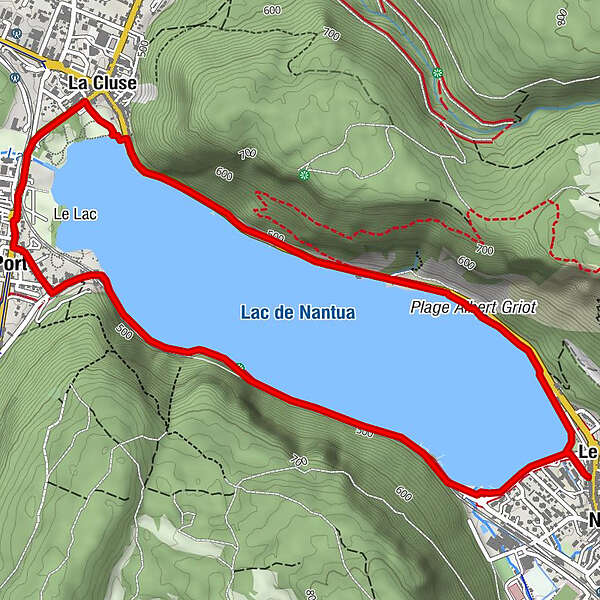
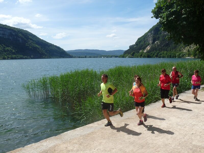
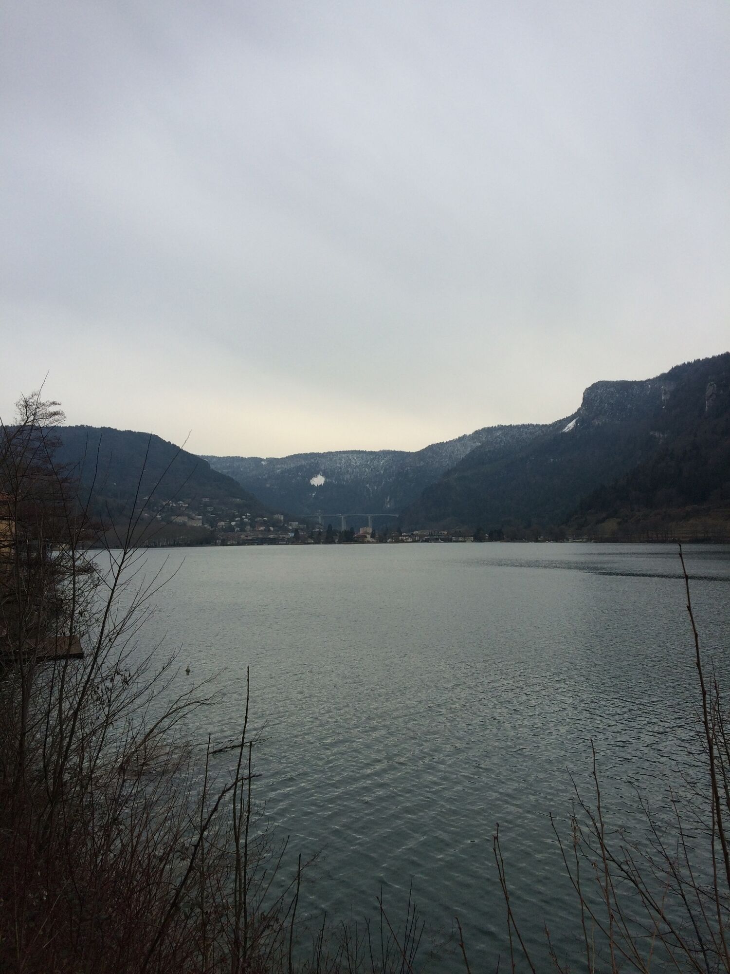
Profitez du magnifique cadre de Nantua ; entre lac et montagne. Un parcours plat idéal en récup’ ou pour les adaptes de courses sur route.
- Stopień trudności
-
łatwe
- Ocena
-
- Trasa
-
Le ChateauNantuaÉglise Sainte-Madeleine2,8 kmPort2,9 kmLa Cluse3,8 kmBelle Rive5,2 kmLe Chateau6,9 kmNantua6,9 km
- Najlepszy sezon
-
stylutmarkwimajczelipsiewrzpaźlisgru
- Najwyższy punkt
- 488 m
- Miejsce docelowe
-
Office de tourisme, Nantua
- Profil wysokości
-
 © outdooractive.com

-

-
AutorWycieczka Le tour du lac de Nantua - Parcours de trail n°1 jest używany przez outdooractive.com pod warunkiem.
GPS Downloads


Informacje ogólne
Przystanek odświeżania
Obiecujący
Więcej wycieczek w regionach
-
Ain
33
-
Haut Bugey
25