© gert gasperin
© gert gasperin
© gert gasperin

© gert gasperin
© gert gasperin
© gert gasperin
© gert gasperin

© gert gasperin
© gert gasperin
© ute k.
Dane wycieczki
5,71km
1.313
- 2.130m
819hm
819hm
06:30h
- Krótki opis
-
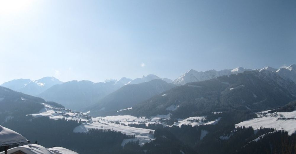
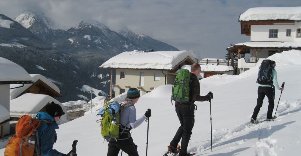
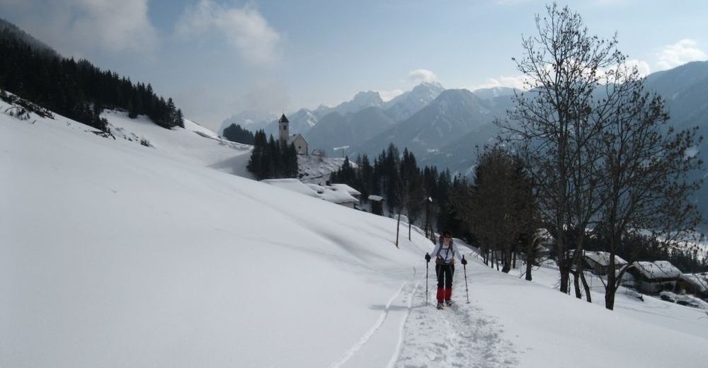
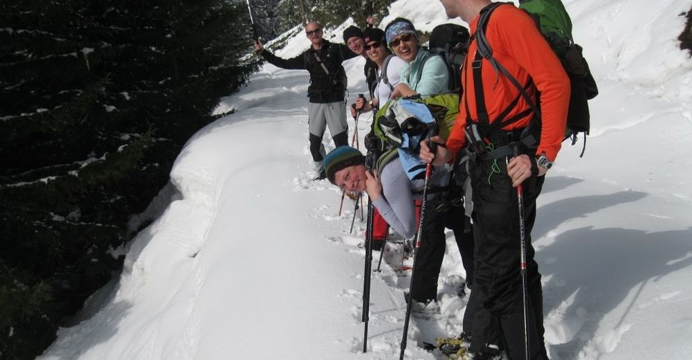
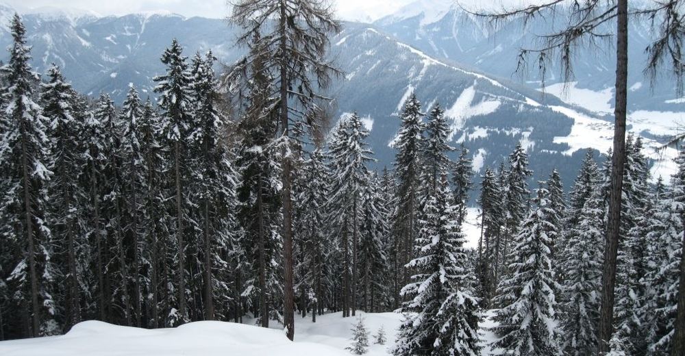
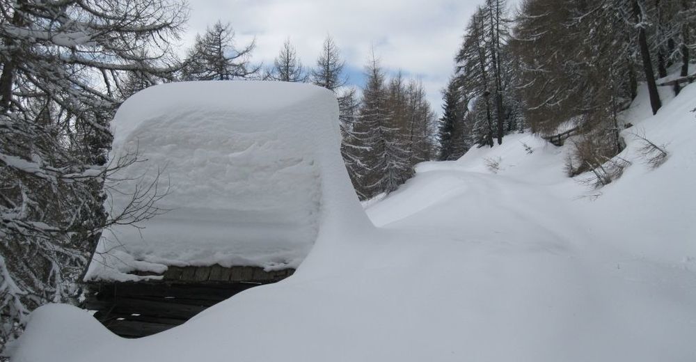
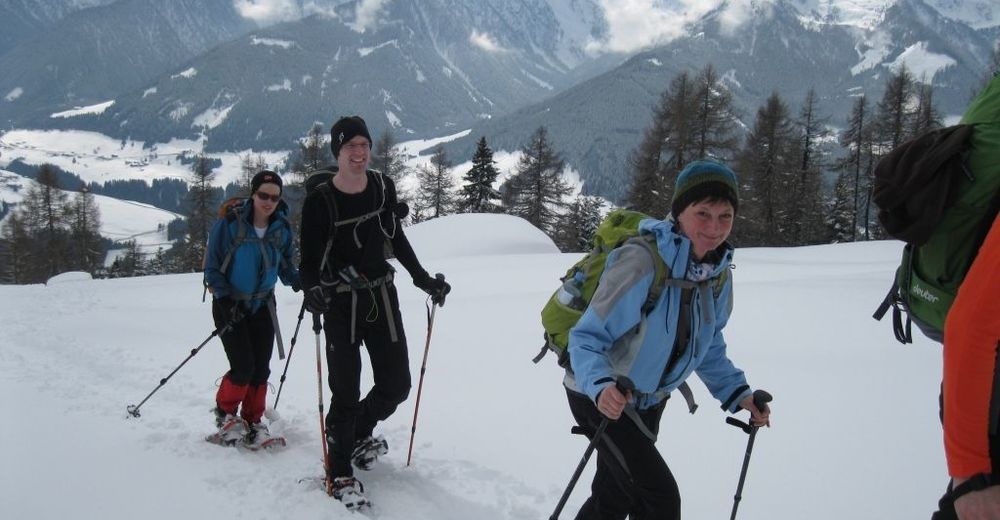
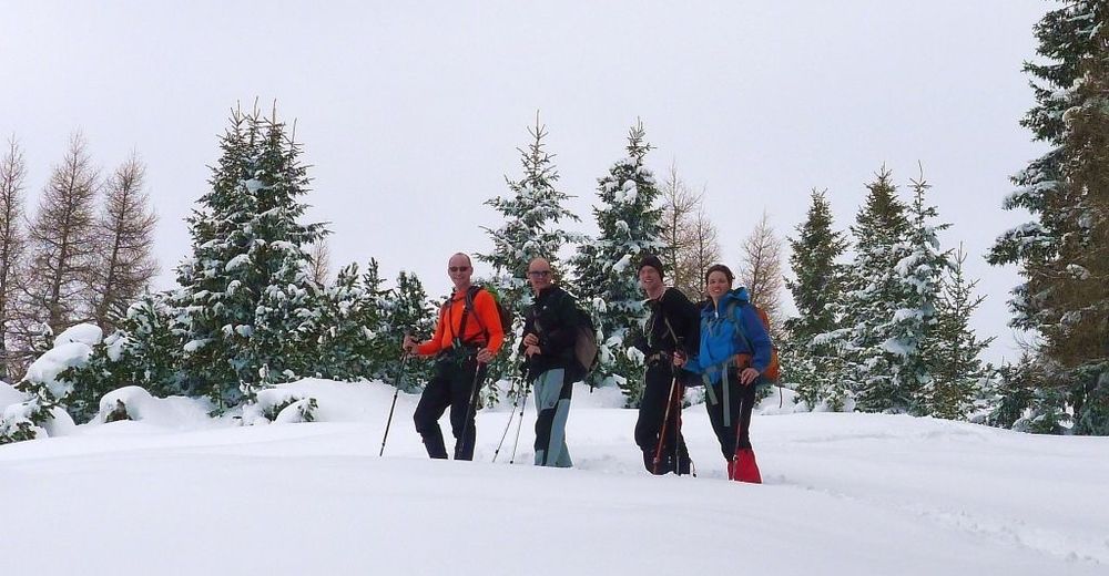
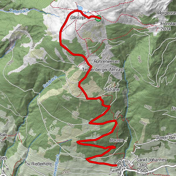
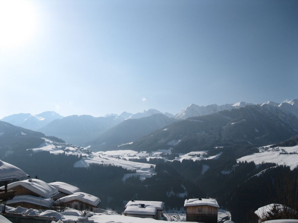
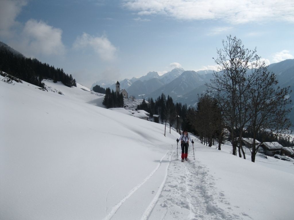
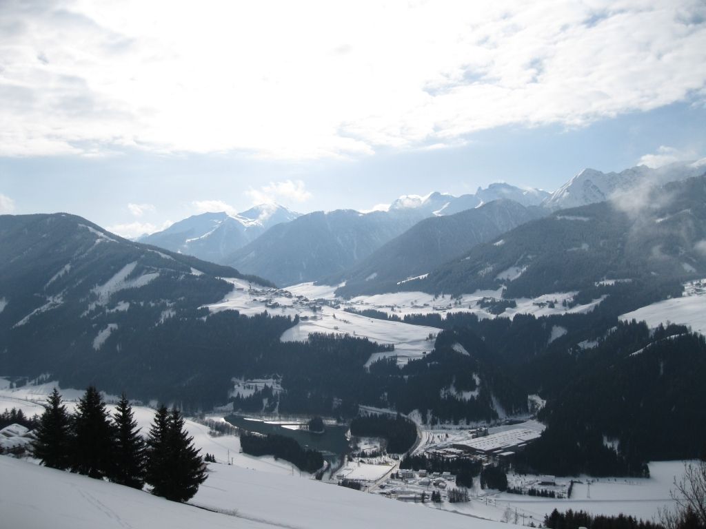
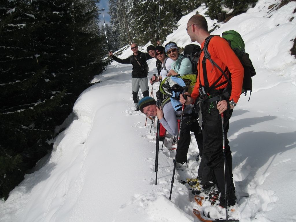
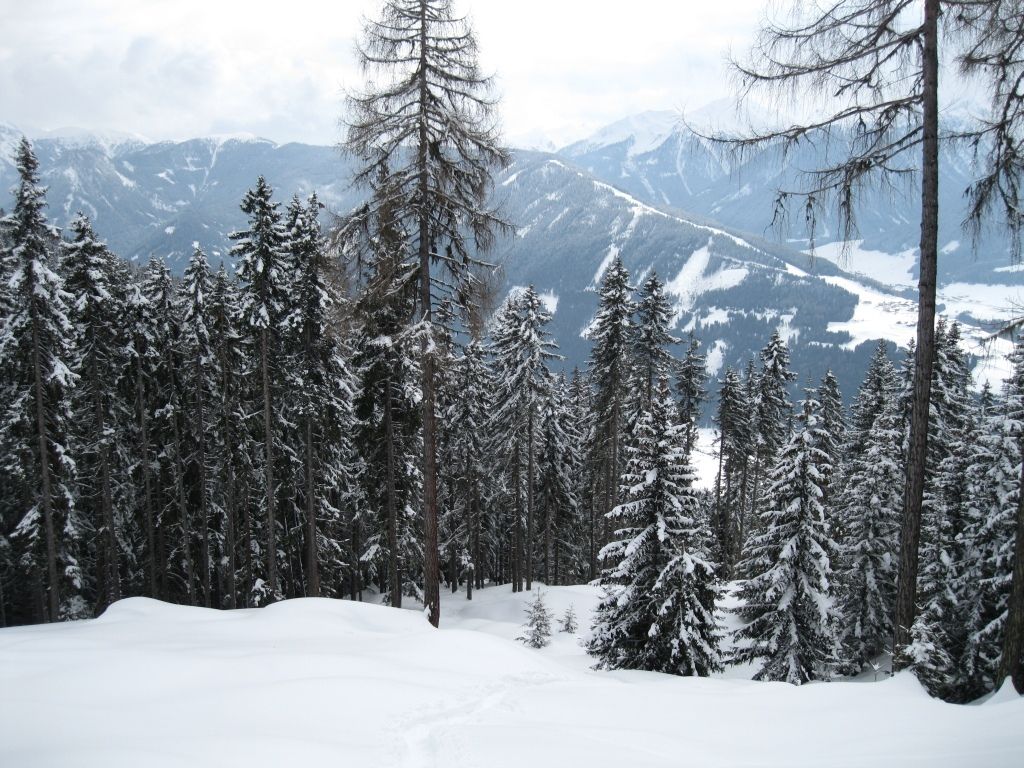
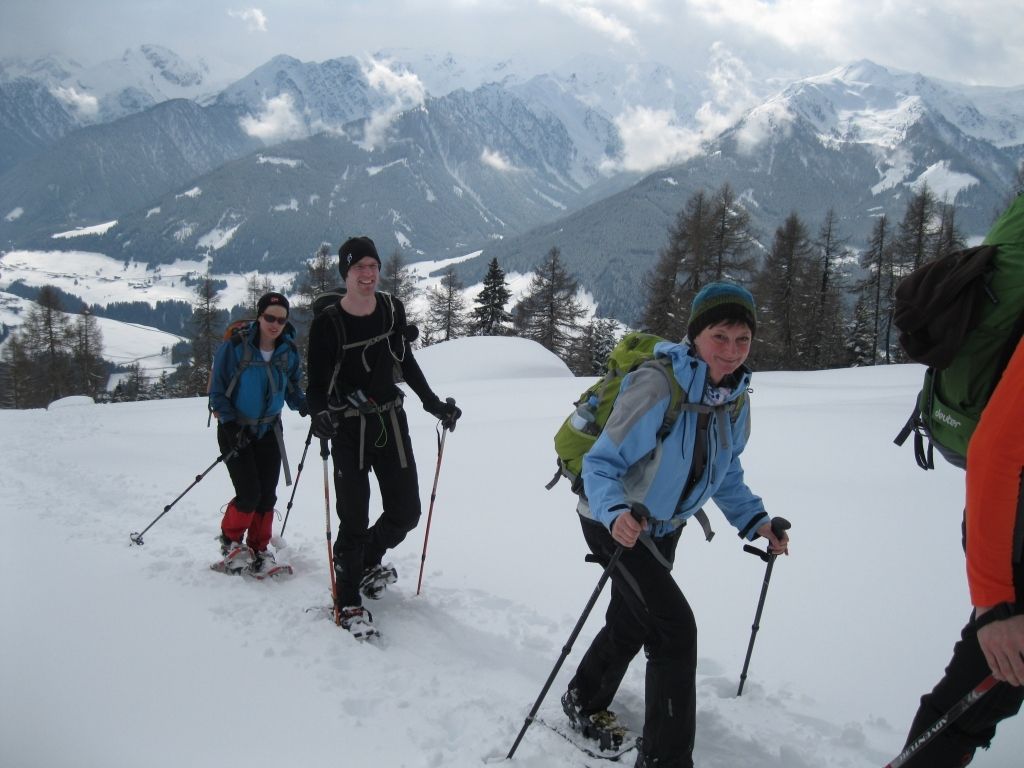
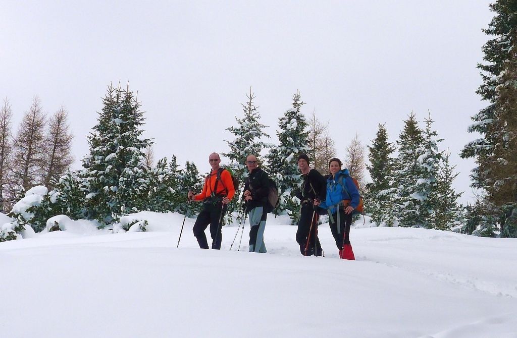
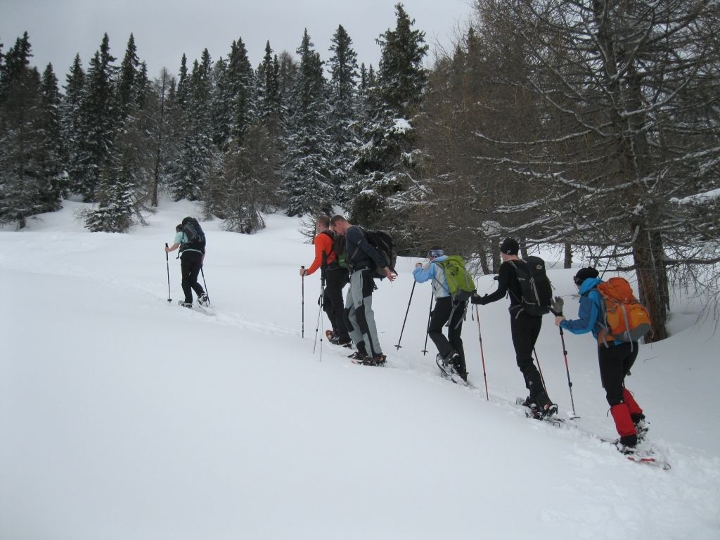
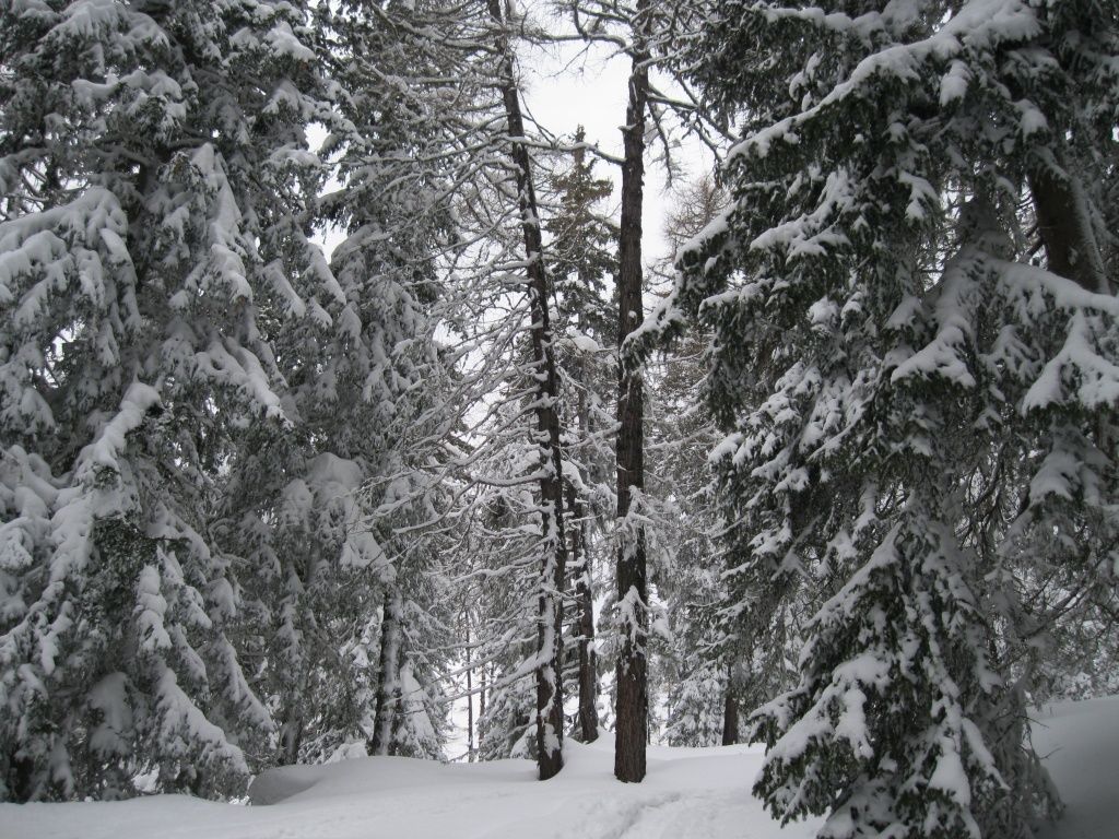
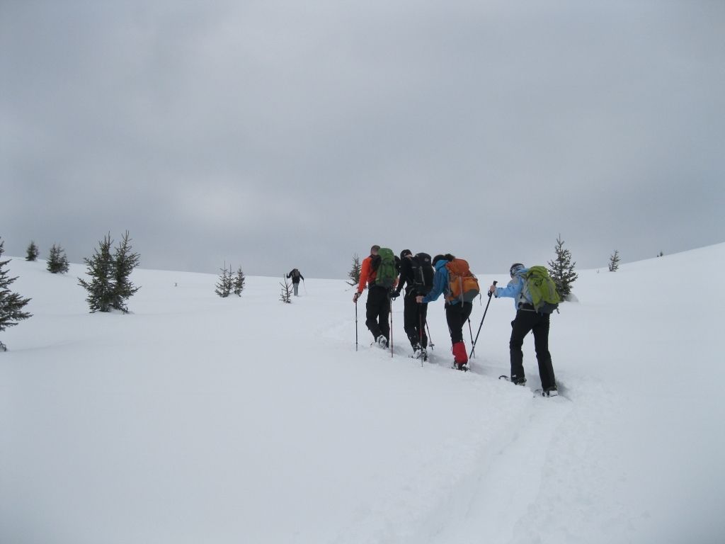
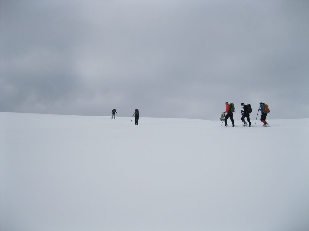
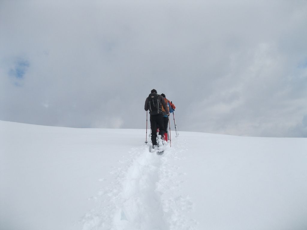
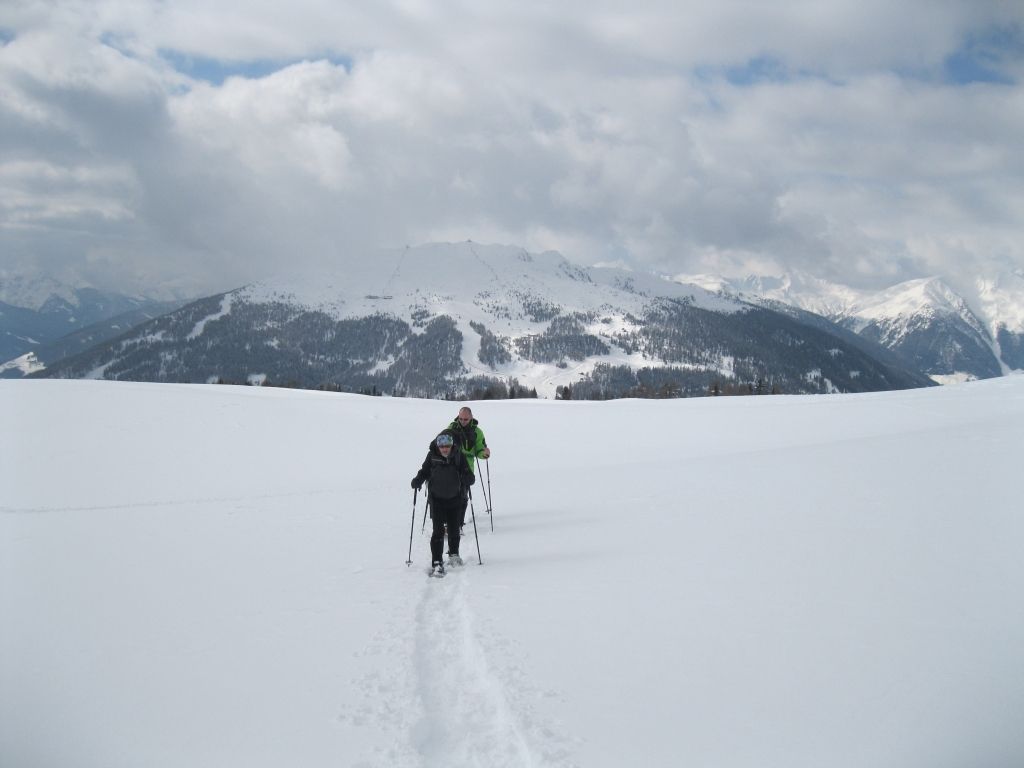
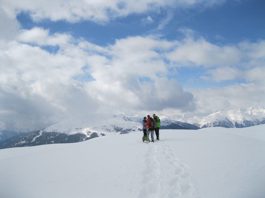
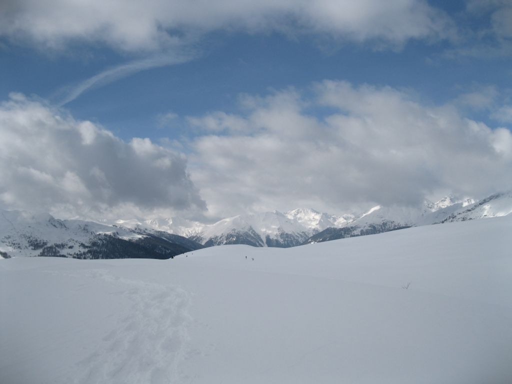
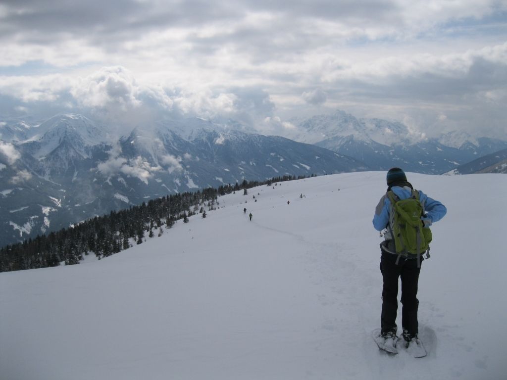
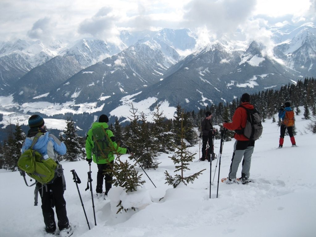
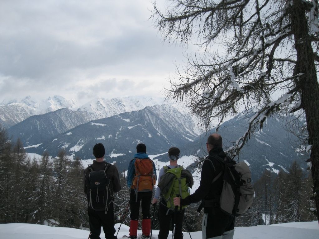
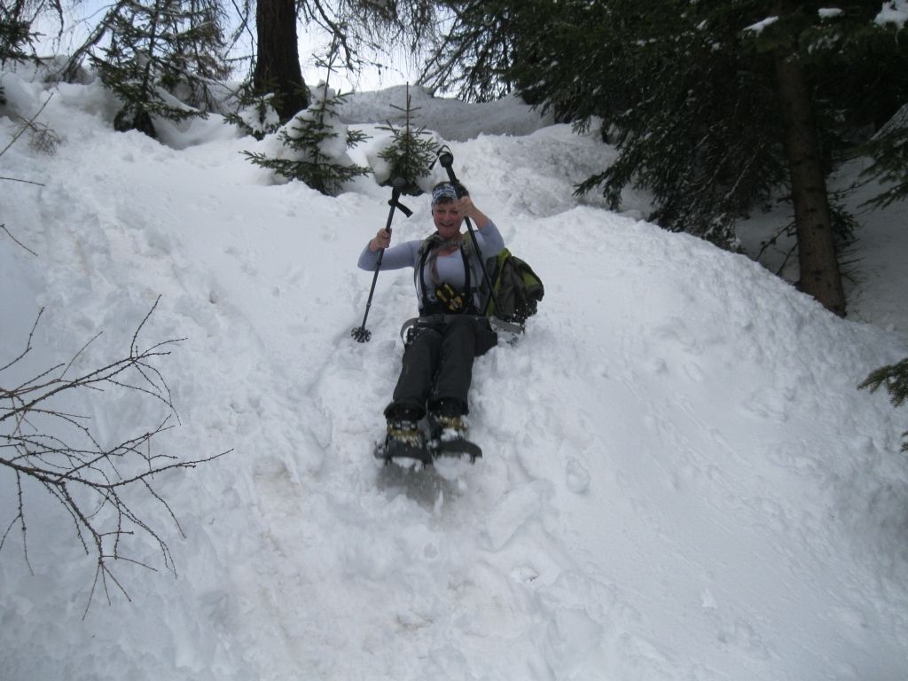
Tessenberg, am Fuße des Glinzzipfs, ist unser Ausgangsort. Über 800 Höhenmeter sind heute teils über steile Waldwege zu bewältigen und ich muss zugeben, dass meine Kondition noch verbesserungswürdig ist.
- Stopień trudności
-
średni
- Ocena
-
- Punkt wyjścia
-
Tessenberg
- Trasa
-
TessenbergBorzen2,4 kmAstrane3,4 kmGlinzzipf (2.126 m)5,4 km
- Najlepszy sezon
-
siewrzpaźlisgrustylutmarkwimajczelip
- Najwyższy punkt
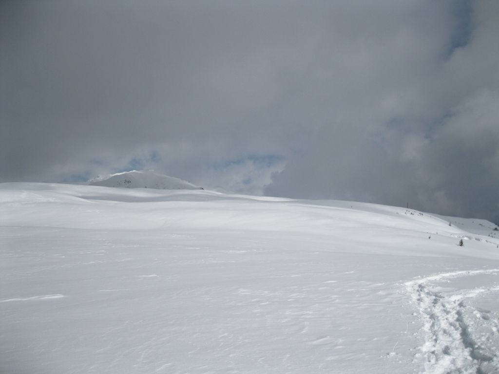
- 2.130 m
- Miejsce docelowe
-
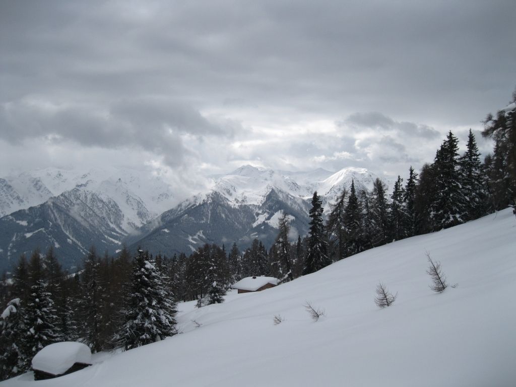
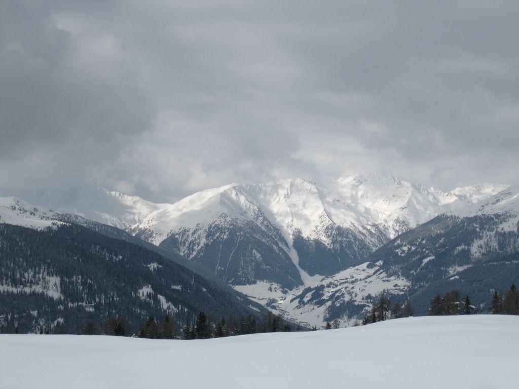
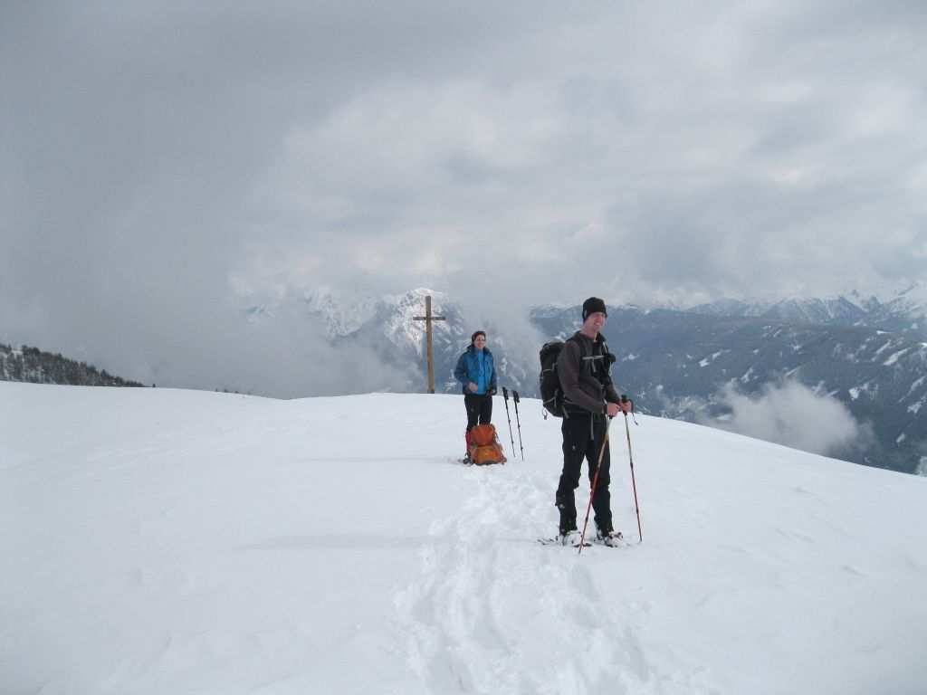
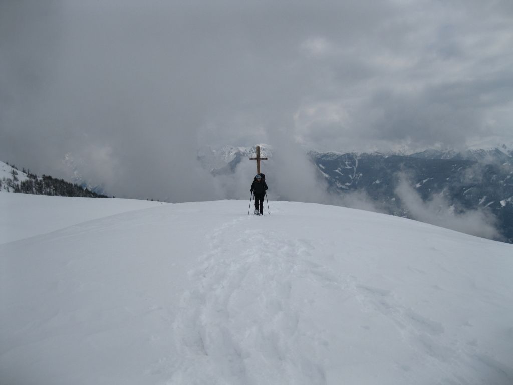
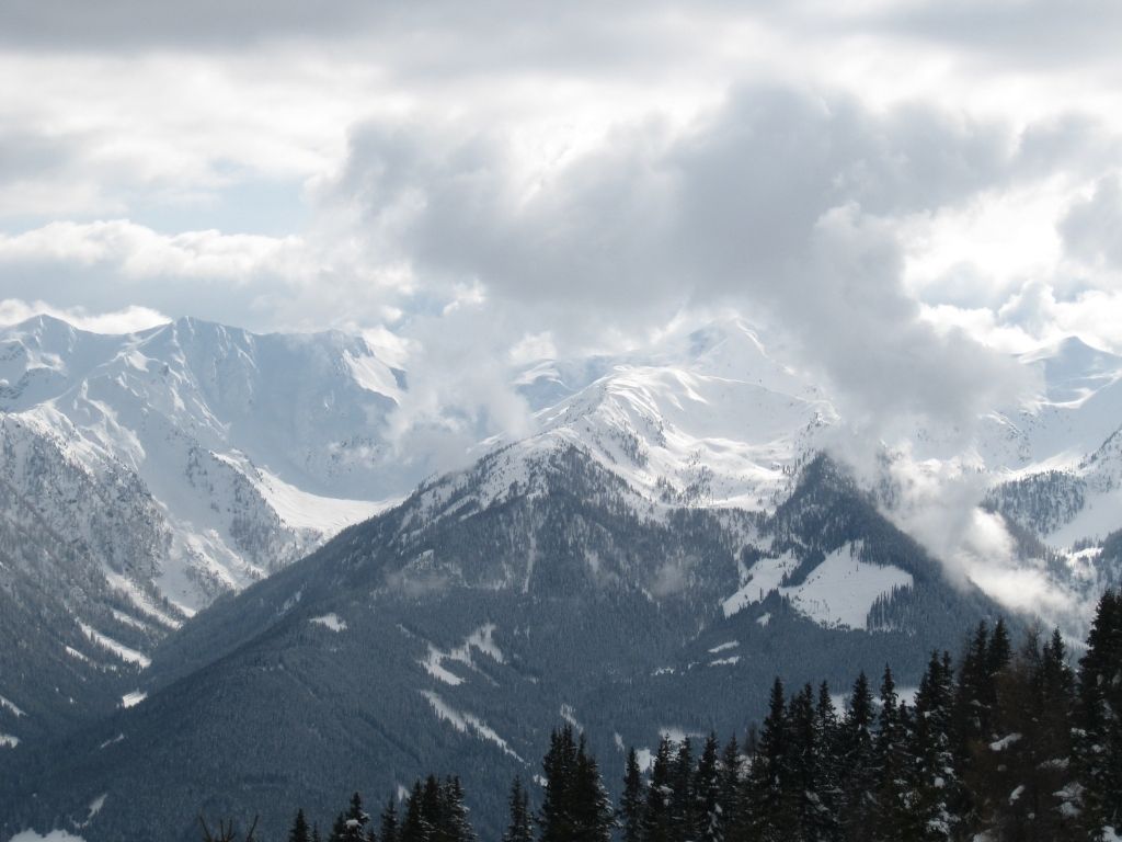
Glinzzipf, 2126 m, Deferegger Gebirge, Untergruppe der Villgratner Berge
- Mapy
-
BEV


GPS Downloads


Więcej wycieczek w regionach