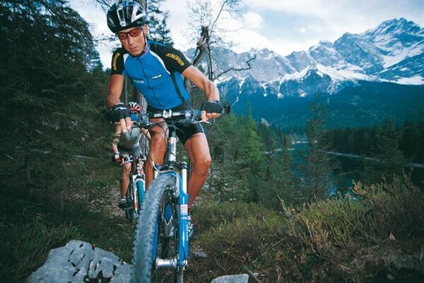
© Jörg
© Jörg
© Jörg
© Jörg
© Jörg
© Jörg

© Jörg
© Jörg
© Jörg
© Jörg
Dane wycieczki
8,73km
1.122
- 1.750m
614hm
614hm
01:30h

- Krótki opis
-
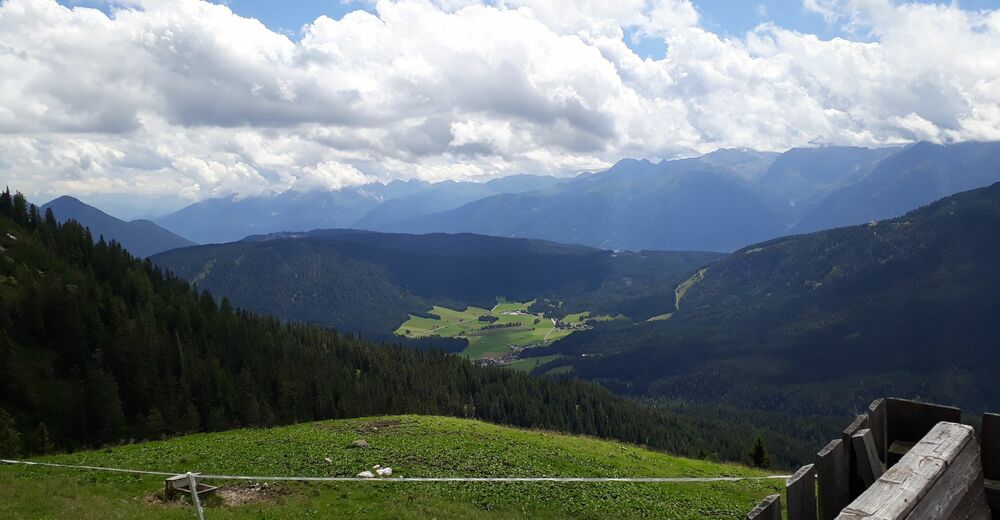
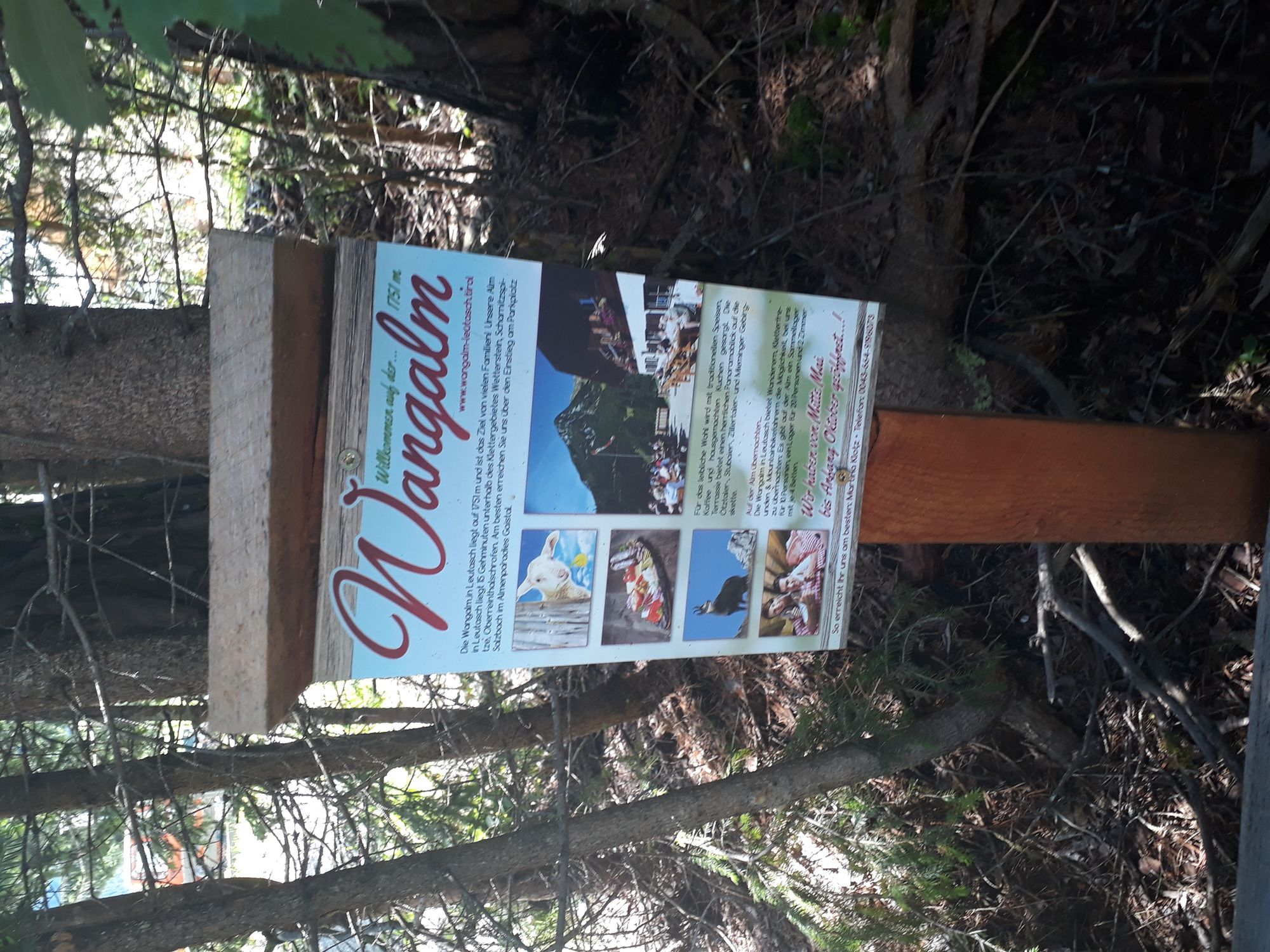
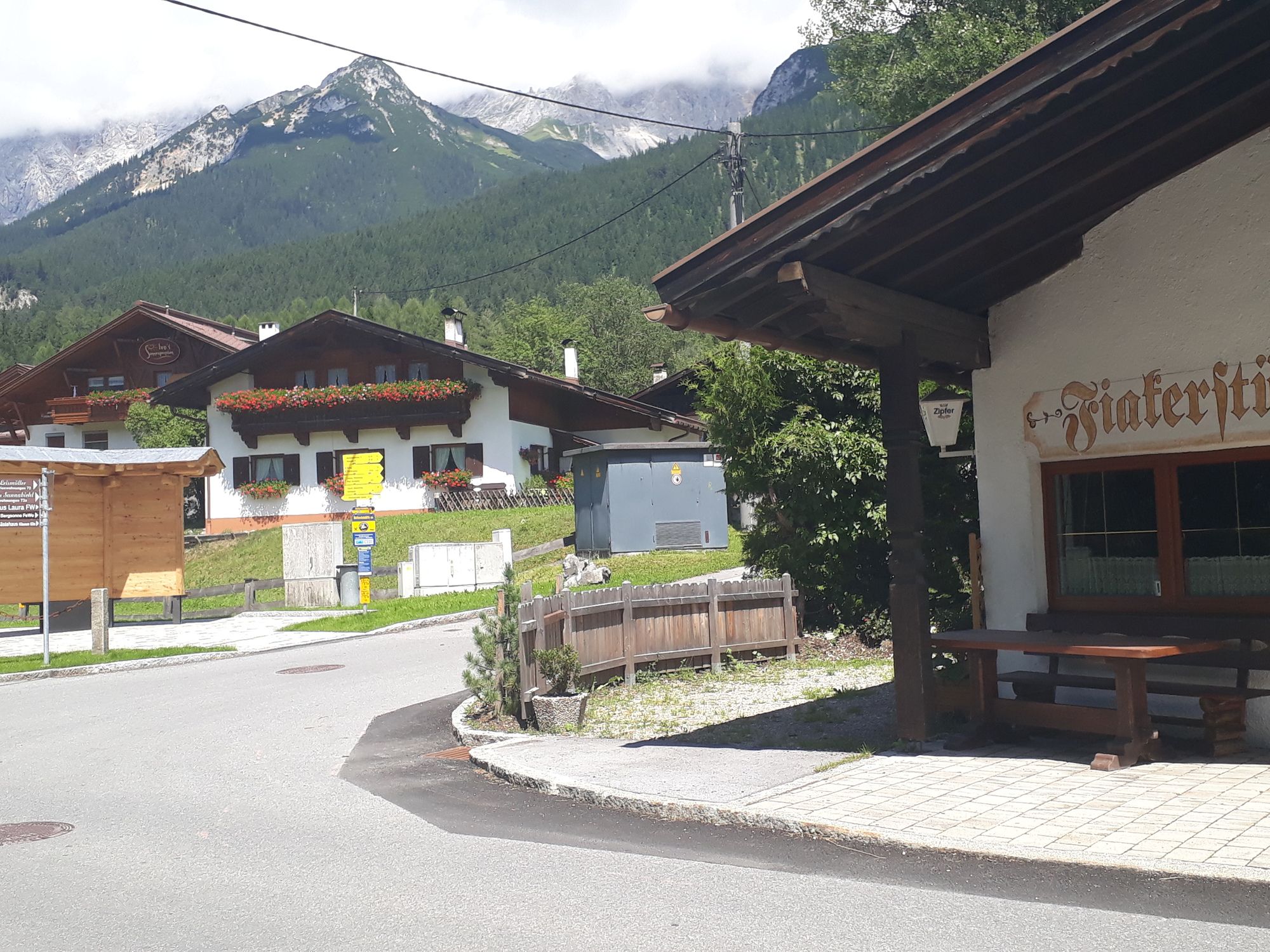
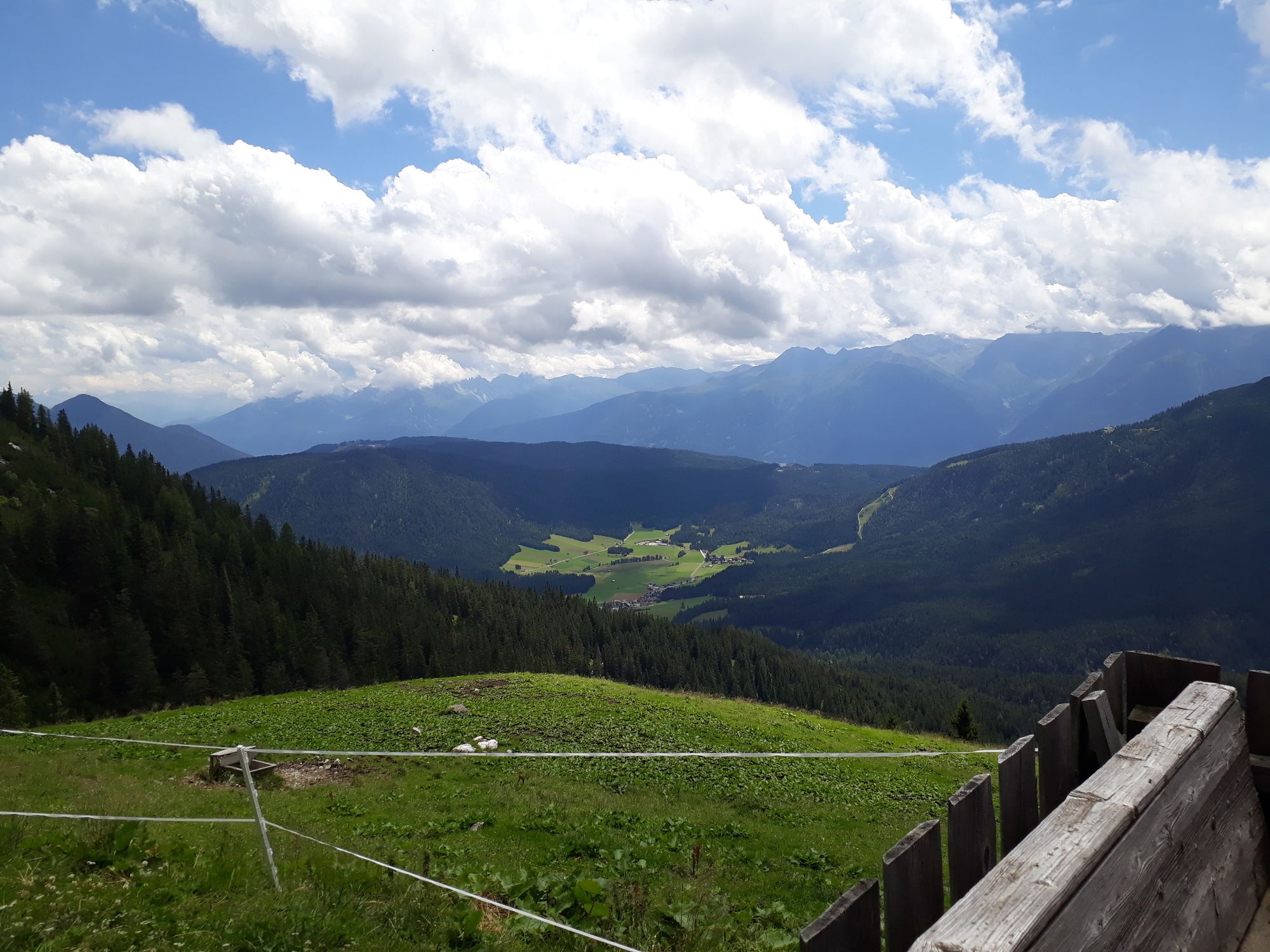
wunderschöner Umgebung mit traumhafter Aussicht auf der Alm
- Stopień trudności
-
średni
- Ocena
-
- Punkt wyjścia
-
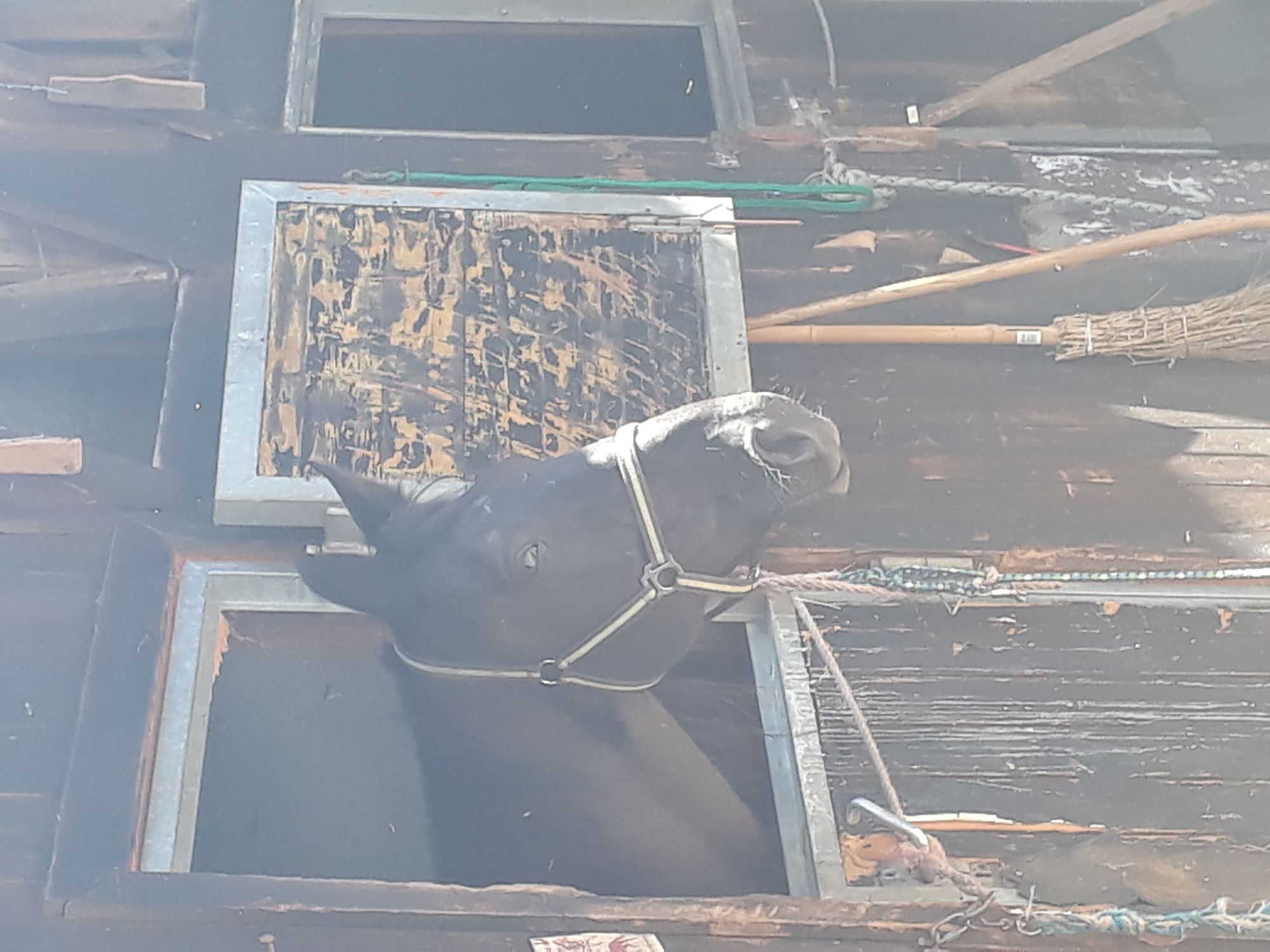
Sportplatz Leutasch, Hallenbad leutasch
- Trasa
-
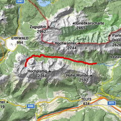
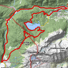
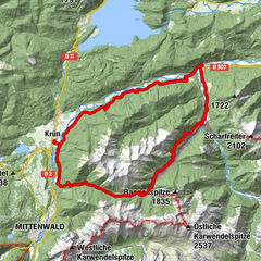
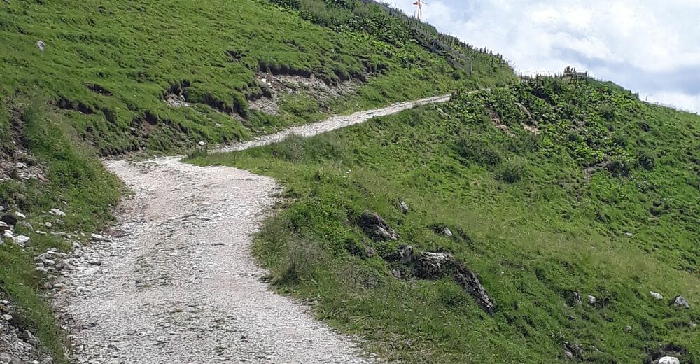
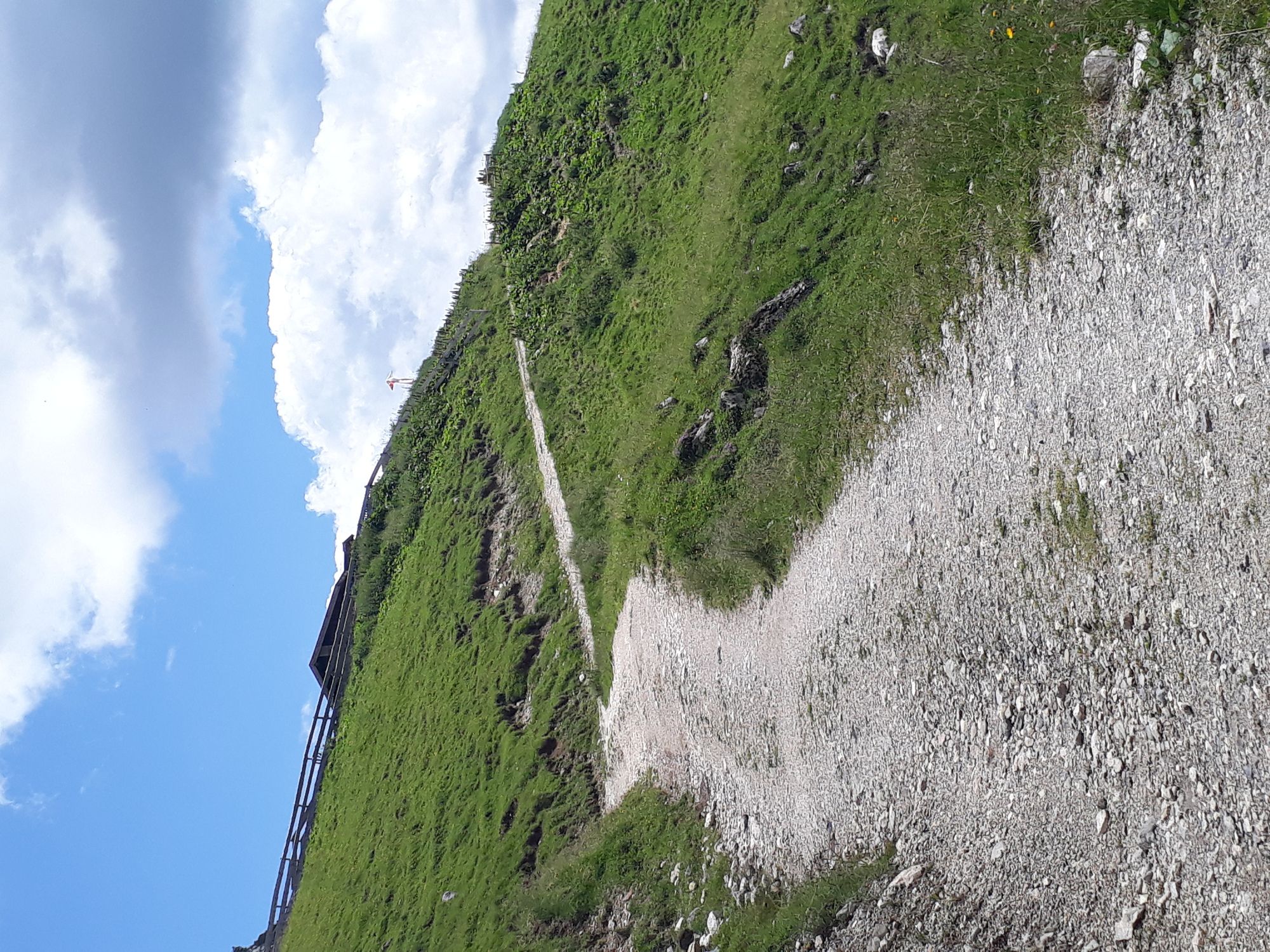
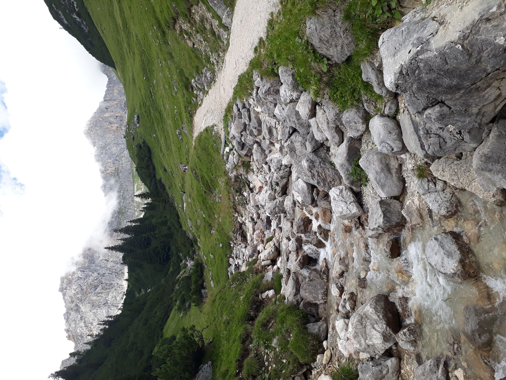
Leutasch (1.136 m)0,7 kmAue1,4 kmPlatzl1,9 kmPlaik2,4 kmObern2,8 kmFiakerstüberl2,9 kmKlamm3,1 kmWangalm8,6 km
- Najlepszy sezon
-
stylutmarkwimajczelipsiewrzpaźlisgru
- Najwyższy punkt
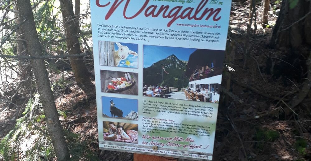
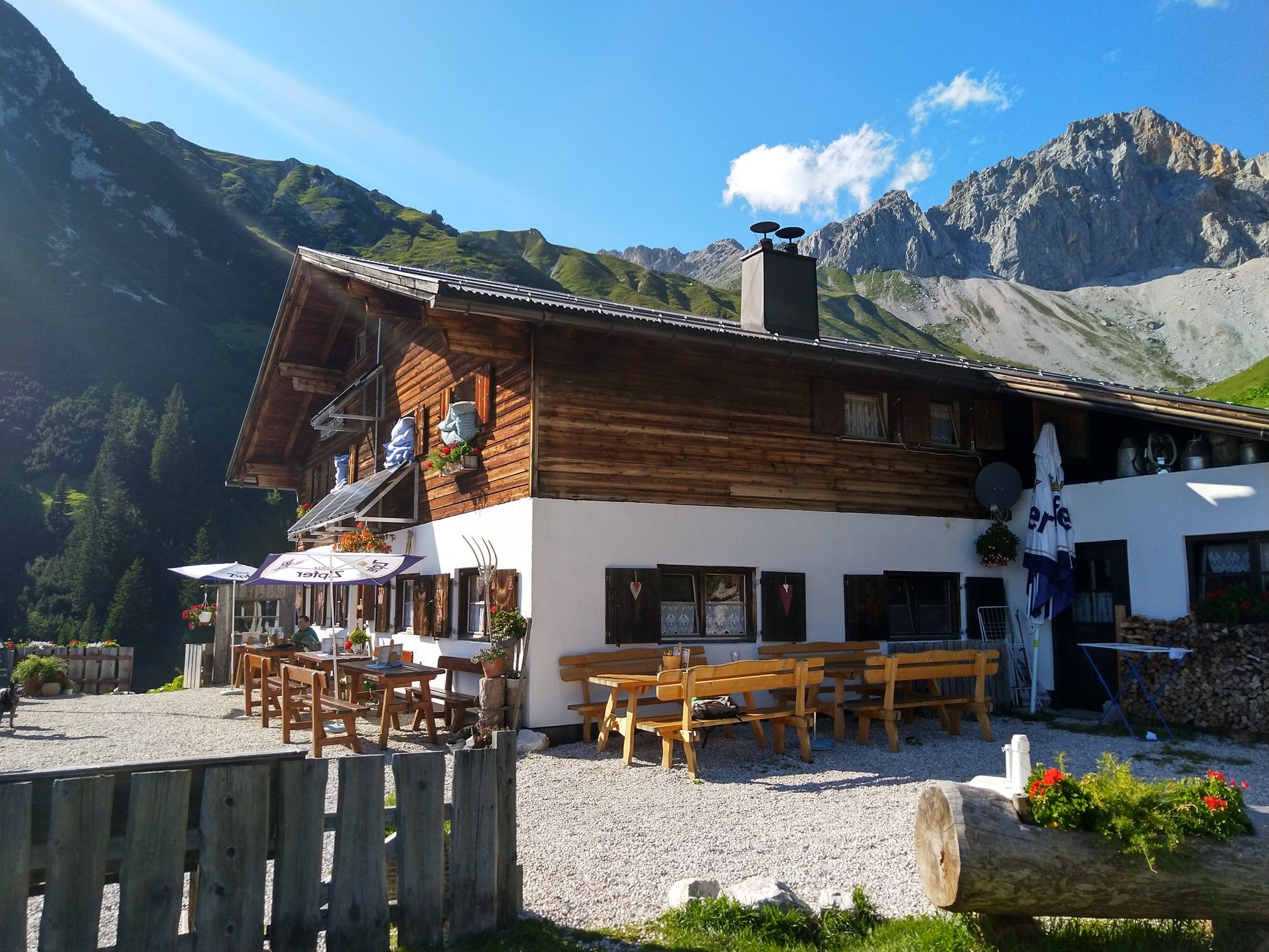
- Wangalm (1.750 m)
- Miejsce docelowe
-
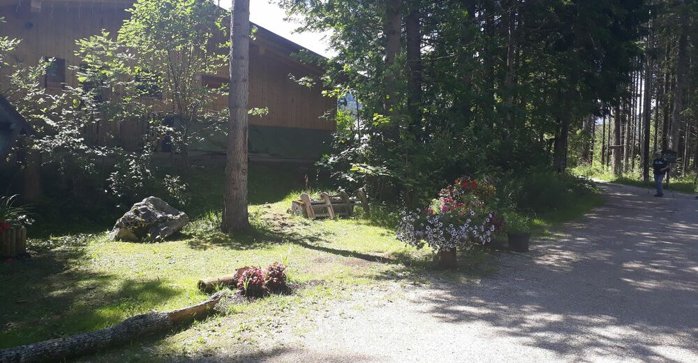
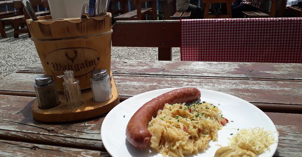
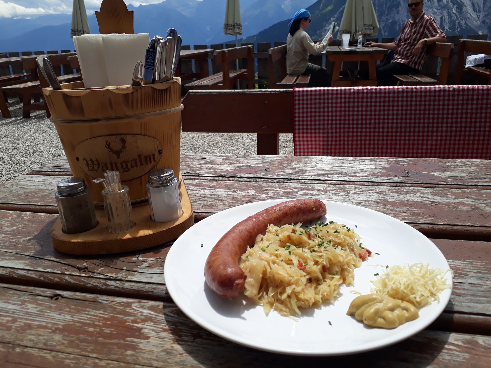
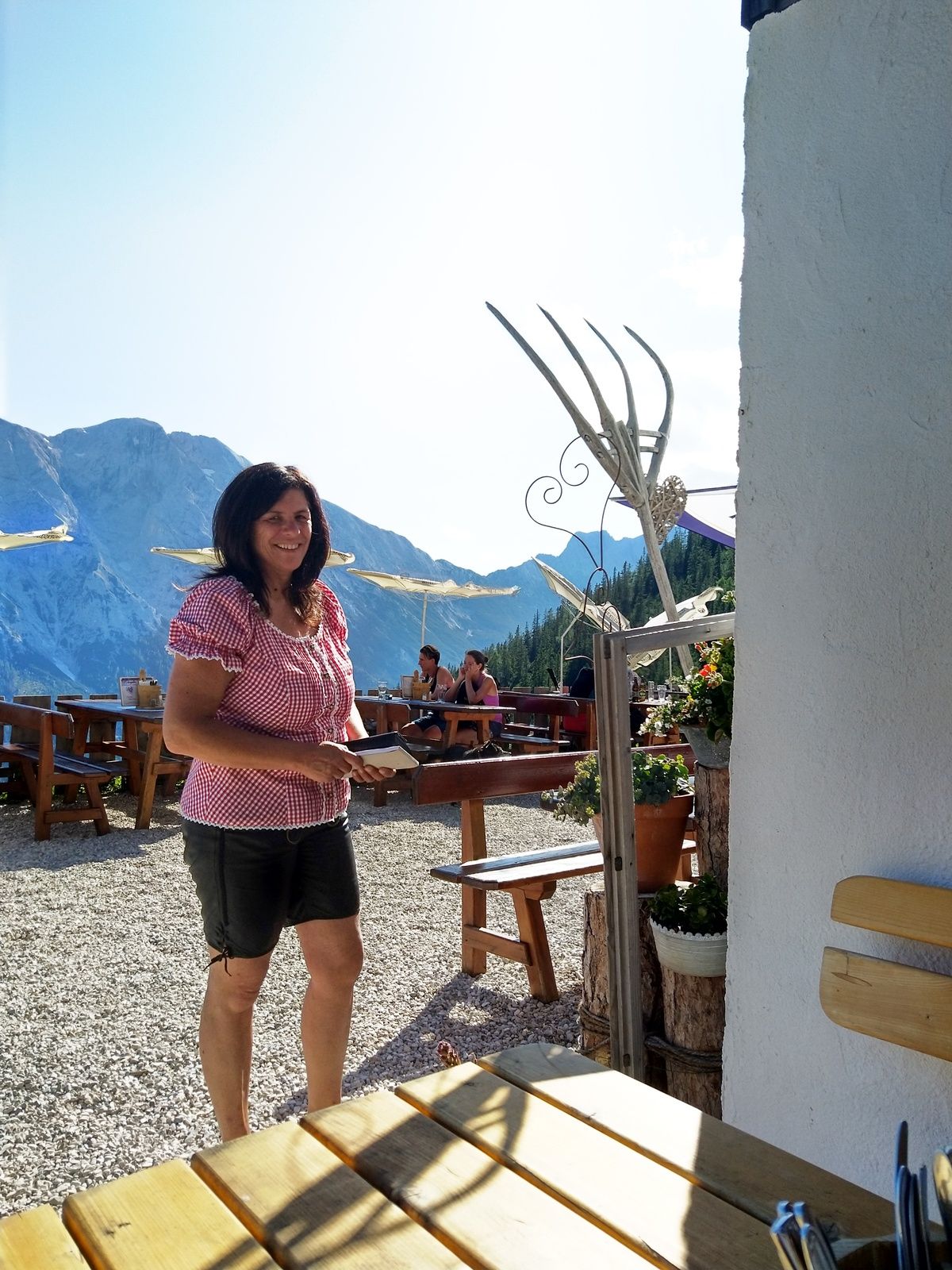
Wangalm
- Odpoczynek/Odosobnienie
-
Wettersteinhütte
- Literatura
-
www.wangalm-leutasch.at
- Mapy
-
freytag&berndt WK322


- Telefon informacyjny
-
0043664-9196073
- Link
- https://www.facebook.com/EMountainbikeHuettenga...
- Źródło
- Joerg Pircher
GPS Downloads


Pasy ruchu
Asfalt
(5km)
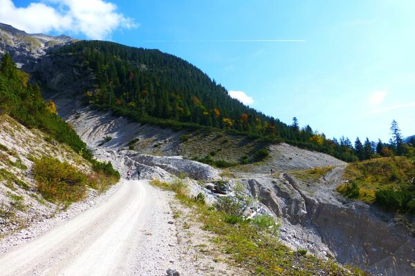
Żwir
(12)
Las
Szlaki górskie
Wyprawy singletrails
Trial
Komunikacja
Więcej wycieczek w regionach